
| Memorials | : | 0 |
| Location | : | Irvine, Estill County, USA |
| Coordinate | : | 37.7273700, -83.9432700 |
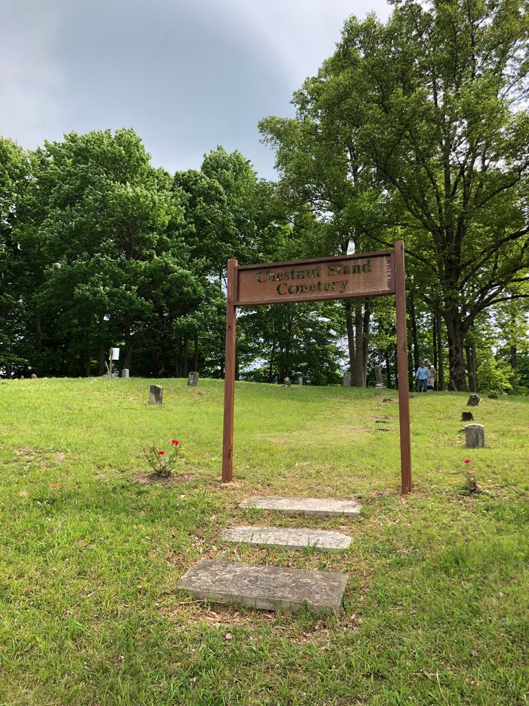
| Description | : | Located on top of Chestnut Stand Mountain. Directions: From Rt. 89 in Irvine, go North on 89, turn right onto Rice Street which becomes Sweetlick Rd., and follow this road until it ends at Chestnut Stand Rd. Turn right onto Chestnut Stand Rd.(This is a steep, narrow road and can be treacherous.) When you get near the top of the mountain, there will be several nice houses. Turn right onto Chestnut Stand Cemetery Rd. This road ends at the cemetery. Beware! There can be several snakes hiding in the tall weeds that have overgrown most of the cemetery. Some of... Read More |
frequently asked questions (FAQ):
-
Where is Chestnut Stand Cemetery?
Chestnut Stand Cemetery is located at Irvine, Estill County ,Kentucky ,USA.
-
Chestnut Stand Cemetery cemetery's updated grave count on graveviews.com?
0 memorials
-
Where are the coordinates of the Chestnut Stand Cemetery?
Latitude: 37.7273700
Longitude: -83.9432700
Nearby Cemetories:
1. Marcum Cemetery #1
Irvine, Estill County, USA
Coordinate: 37.7347100, -83.9617300
2. Cool Springs Cemetery
Estill County, USA
Coordinate: 37.7397003, -83.9580994
3. Estill County Cemetery
Estill County, USA
Coordinate: 37.7327995, -83.9642029
4. Miller Cemetery #2
Estill County, USA
Coordinate: 37.7094440, -83.9330560
5. Miller Cemetery #1
Irvine, Estill County, USA
Coordinate: 37.7089005, -83.9325027
6. Lackey Cemetery
Estill County, USA
Coordinate: 37.7332993, -83.9681015
7. Brinegar Cemetery
Estill County, USA
Coordinate: 37.7192001, -83.9167023
8. Griffin Cemetery #1
Irvine, Estill County, USA
Coordinate: 37.7033005, -83.9332962
9. Cow Creek Cemetery
Estill County, USA
Coordinate: 37.7066994, -83.9122009
10. Masters Cemetery
Estill County, USA
Coordinate: 37.7318993, -83.9858017
11. Old Irvine Cemetery
Irvine, Estill County, USA
Coordinate: 37.7024470, -83.9762410
12. Pasley Cemetery
Irvine, Estill County, USA
Coordinate: 37.7005615, -83.9738922
13. Moore Cemetery
Estill County, USA
Coordinate: 37.7397003, -83.9869003
14. Barnes Cemetery #2
Estill County, USA
Coordinate: 37.7386240, -83.9877430
15. Scholl Family Burial Grounds
Irvine, Estill County, USA
Coordinate: 37.7016600, -83.9770100
16. Oakdale Cemetery
Irvine, Estill County, USA
Coordinate: 37.6894000, -83.9566500
17. Antioch Cemetery
Estill County, USA
Coordinate: 37.7338982, -83.8927994
18. Jones Family Farm Cemetery
Furnace, Estill County, USA
Coordinate: 37.7581300, -83.9041300
19. West Irvine Cemetery
Irvine, Estill County, USA
Coordinate: 37.7017800, -83.9909200
20. Marcum Cemetery #2
Estill County, USA
Coordinate: 37.7456017, -83.8846970
21. Abney Cemetery
Furnace, Estill County, USA
Coordinate: 37.7523020, -83.8876160
22. McIntosh Cemetery
Estill County, USA
Coordinate: 37.7310982, -83.8792038
23. South Irvine Cemetery
Irvine, Estill County, USA
Coordinate: 37.6833130, -83.9790330
24. Gray Cemetery
Estill County, USA
Coordinate: 37.6972008, -83.8863983