| Memorials | : | 0 |
| Location | : | Abo, Torrance County, USA |
| Phone | : | (505) 847-2585 |
| Website | : | www.nps.gov/sapu/learn/historyculture/quarai.htm |
| Coordinate | : | 34.5189760, -106.2417100 |
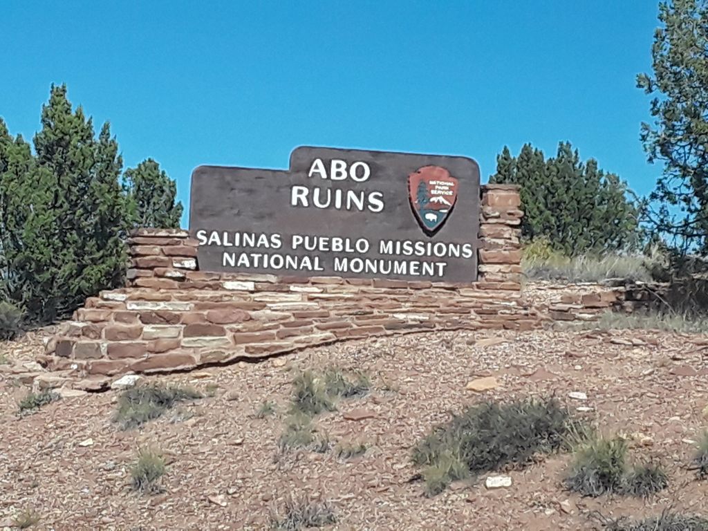
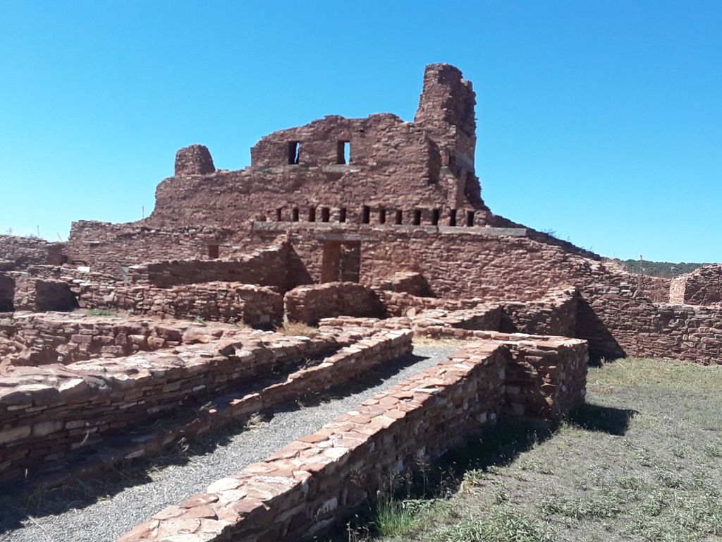
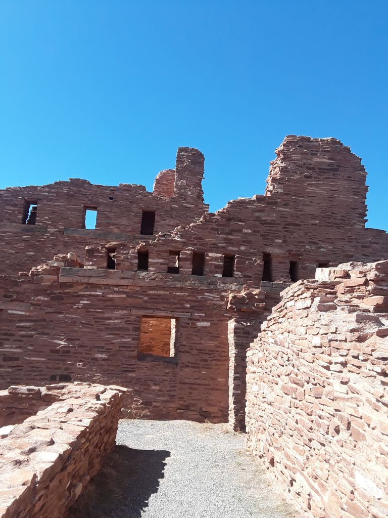
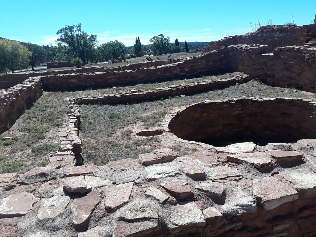
| Description | : | Abo Ruins is the site of a Native American Indian Pueblo that was largely abandoned in 1673. By 1678 the pueblo was entirely abandoned. It was later discovered and turned into a National Monument. It is part of the Salinas Pueblo Missions National Monument. Any graves that are found with headstones are those of the people who worked to take care of the Ruins. Because there had been Catholic churches built in these pueblos in the 1600's, there might still be records of the people who once lived in these pueblos. At this time they have not yet been located. ... Read More |
frequently asked questions (FAQ):
-
Where is Abo Ruins Salinas Pueblo Missions Cemetery?
Abo Ruins Salinas Pueblo Missions Cemetery is located at 105 S Ripley Avenue Abo, Torrance County ,New Mexico , 87036USA.
-
Abo Ruins Salinas Pueblo Missions Cemetery cemetery's updated grave count on graveviews.com?
0 memorials
-
Where are the coordinates of the Abo Ruins Salinas Pueblo Missions Cemetery?
Latitude: 34.5189760
Longitude: -106.2417100
Nearby Cemetories:
1. Saint Alice Catholic Cemetery
Mountainair, Torrance County, USA
Coordinate: 34.5164600, -106.2758400
2. Mountainair Cemetery
Mountainair, Torrance County, USA
Coordinate: 34.5153008, -106.2758026
3. Mathews Cemetery
Mountainair, Torrance County, USA
Coordinate: 34.5398070, -106.3110930
4. Cedar Grove Cemetery
Torrance County, USA
Coordinate: 34.4791985, -106.1738968
5. Punta de Agua Community Cemetery
Punta de Agua, Torrance County, USA
Coordinate: 34.5978080, -106.2794970
6. Saint Vincent De Paul Catholic Church Cemetery
Mountainair, Torrance County, USA
Coordinate: 34.5999985, -106.2833023
7. San Lorenzo Cemetery
Abo, Torrance County, USA
Coordinate: 34.4565470, -106.3281240
8. La Cienega Mission Cemetery
Torrance County, USA
Coordinate: 34.5830994, -106.3313980
9. Purcella Eastview Cemetery
Torrance County, USA
Coordinate: 34.5783005, -106.3460999
10. Kayser-Eastview Cemetery
Torrance County, USA
Coordinate: 34.5783005, -106.3460999
11. Round Top Cemetery
Torrance County, USA
Coordinate: 34.4928017, -106.1061020
12. Mount Calvary Cemetery
Torrance County, USA
Coordinate: 34.6343994, -106.2358017
13. Spencer Eastview Cemetery
Torrance County, USA
Coordinate: 34.5759830, -106.3639390
14. Mission San Gregorio de Abo
Torrance County, USA
Coordinate: 34.4508230, -106.3752560
15. Pinon Cemetery
Mountainair, Torrance County, USA
Coordinate: 34.3766510, -106.2129400
16. Manzano Hills Cemetery
Torrance County, USA
Coordinate: 34.6467018, -106.3443985
17. Our Lady of Sorrows Catholic Cemetery
Manzano, Torrance County, USA
Coordinate: 34.6467018, -106.3443985
18. Campo Santo Cemetery
Manzano, Torrance County, USA
Coordinate: 34.6507000, -106.3492000
19. Scholle Cemetery
Socorro County, USA
Coordinate: 34.4340200, -106.4298300
20. Farmer Cemetery
Willard, Torrance County, USA
Coordinate: 34.5745440, -106.0268070
21. Protestant Cemetery
Willard, Torrance County, USA
Coordinate: 34.5957985, -106.0330963
22. Willard Cemetery
Willard, Torrance County, USA
Coordinate: 34.5957985, -106.0330963
23. Our Lady Of Sorrows Church Cemetery
Willard, Torrance County, USA
Coordinate: 34.5976900, -106.0339500
24. El Rosario Cemetery
Willard, Torrance County, USA
Coordinate: 34.6044006, -106.0306015


