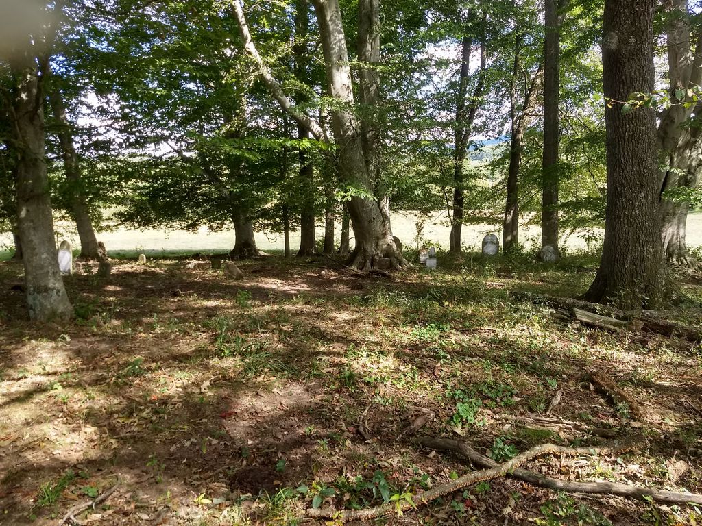
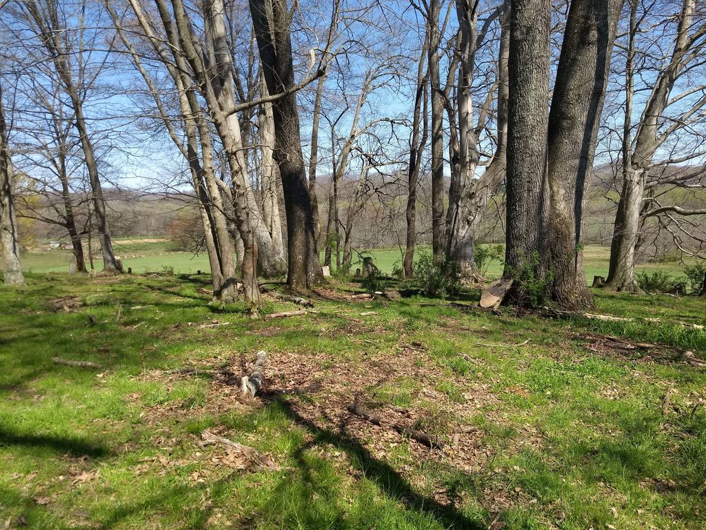
| Memorials | : | 1 |
| Location | : | Barbourville, Knox County, USA |
| Coordinate | : | 36.8500000, -83.9000000 |
| Description | : | From Cumberland Gap Parkway turn onto Daniel Boone Drive, continue on this this street until you come to the end. Take a left and you will see a sign which says 459, also called Pitzer Street. Follow this road for about 3/4 - 1 mile, turn off is on left. Turn on Marsh Road and go about 1/4 mile and you will see Goins Cemetery on left which has a chained link fence around it. Adams and Eve Cemetery is behind this cemetery and is in what is now a cow pasture. |
frequently asked questions (FAQ):
-
Where is Adams and Eve Cemetery?
Adams and Eve Cemetery is located at Marsh Road (Goins Marsh Road) Barbourville, Knox County ,Kentucky ,USA.
-
Adams and Eve Cemetery cemetery's updated grave count on graveviews.com?
1 memorials
-
Where are the coordinates of the Adams and Eve Cemetery?
Latitude: 36.8500000
Longitude: -83.9000000
Nearby Cemetories:
1. Hurst Cemetery
Barbourville, Knox County, USA
Coordinate: 36.8500000, -83.9000000
2. Goins Cemetery
Barbourville, Knox County, USA
Coordinate: 36.8511870, -83.8995920
3. Glasscock Cemetery
Barbourville, Knox County, USA
Coordinate: 36.8471985, -83.8899994
4. Apple Grove Cemetery
Knox County, USA
Coordinate: 36.8592480, -83.8944010
5. Fuson Cemetery
Knox County, USA
Coordinate: 36.8493996, -83.9163971
6. Mealer Cemetery
Barbourville, Knox County, USA
Coordinate: 36.8586370, -83.8850640
7. Mealer Cemetery
Barbourville, Knox County, USA
Coordinate: 36.8596818, -83.8846452
8. Mealer Cemetery
Barbourville, Knox County, USA
Coordinate: 36.8599319, -83.8847580
9. Miles Cemetery
Knox County, USA
Coordinate: 36.8324640, -83.8996650
10. Cumberland River Baptist Church Cemetery
Barbourville, Knox County, USA
Coordinate: 36.8394508, -83.9185486
11. Grindstaff Cemetery #2
Barbourville, Knox County, USA
Coordinate: 36.8663902, -83.8888931
12. Mayhew Cemetery
Barbourville, Knox County, USA
Coordinate: 36.8678017, -83.9094009
13. Barbourville Cemetery
Barbourville, Knox County, USA
Coordinate: 36.8560982, -83.8739014
14. Abner Wells Cemetery
Knox County, USA
Coordinate: 36.8364060, -83.9215730
15. Hawn Graveyard
Barbourville, Knox County, USA
Coordinate: 36.8642006, -83.9238968
16. Powell Cemetery
Barbourville, Knox County, USA
Coordinate: 36.8692017, -83.9207993
17. Hampton Cemetery
Swanpond, Knox County, USA
Coordinate: 36.8231010, -83.8964005
18. Rosenwald Cemetery
Barbourville, Knox County, USA
Coordinate: 36.8527985, -83.8656006
19. Jones Cemetery
Barbourville, Knox County, USA
Coordinate: 36.8680000, -83.8730000
20. Tuggle-Doolin Cemetery
Heidrick, Knox County, USA
Coordinate: 36.8833008, -83.9060974
21. Tanyard Cemetery
Barbourville, Knox County, USA
Coordinate: 36.8849100, -83.9023700
22. Payne Family Cemetery
Artemus, Knox County, USA
Coordinate: 36.8406600, -83.8578660
23. Davis Cemetery
Barbourville, Knox County, USA
Coordinate: 36.8316994, -83.8581009
24. Elliott Cemetery
Barbourville, Knox County, USA
Coordinate: 36.8803062, -83.9297104


