
| Memorials | : | 13 |
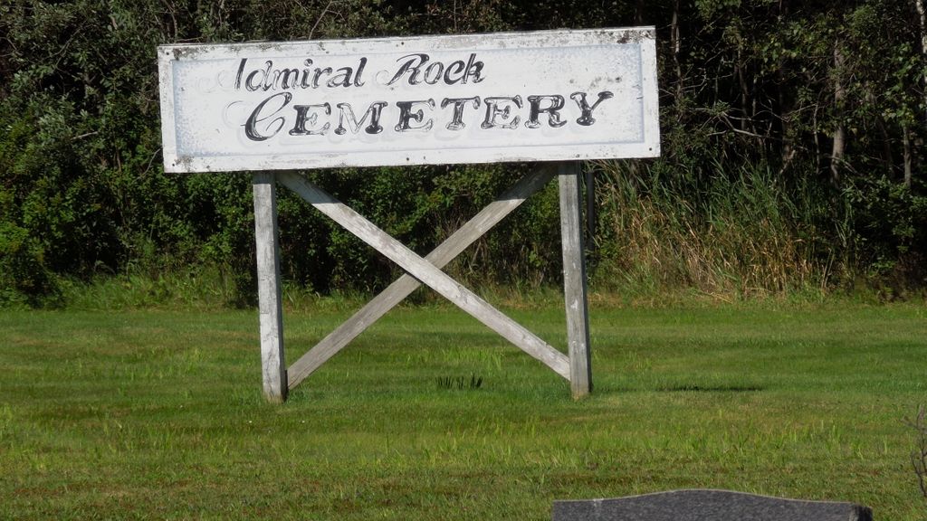
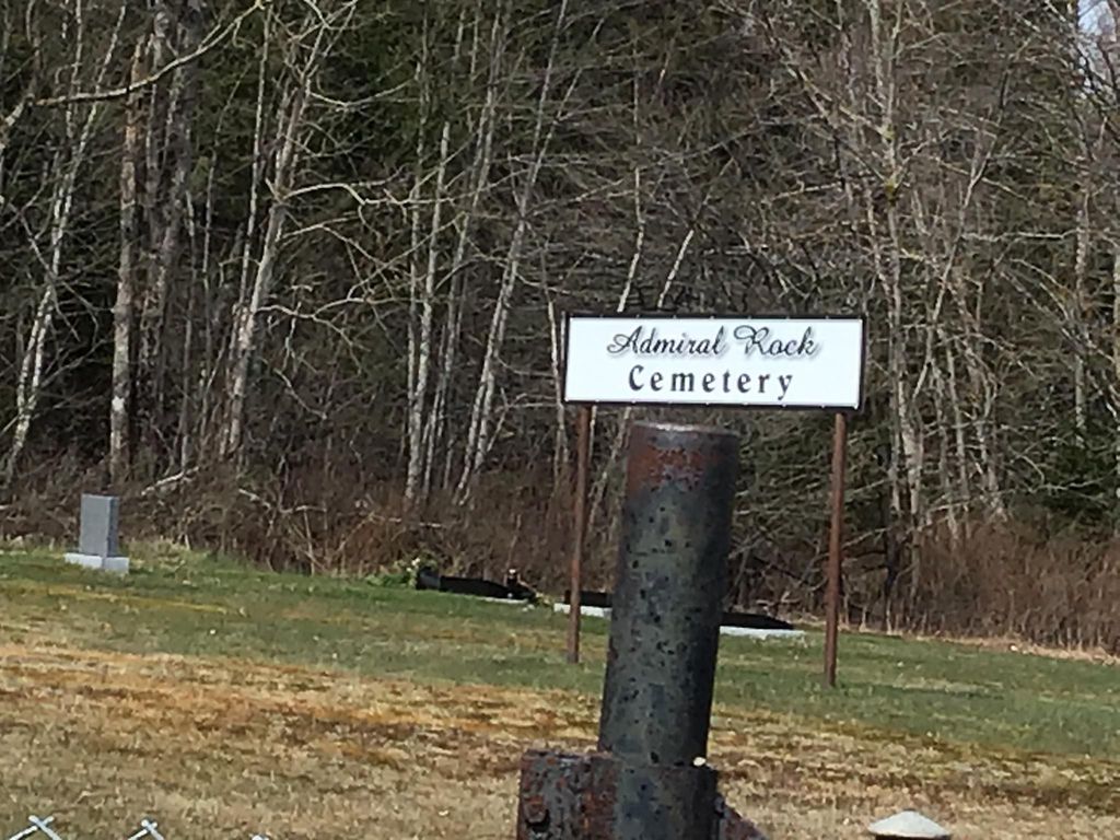
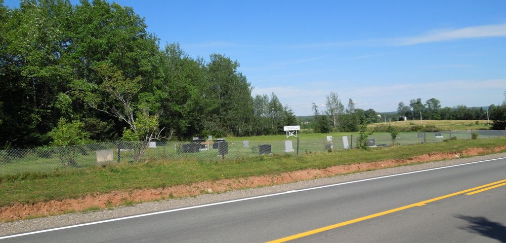
| Location | : | Admiral Rock, Hants County, Canada |
| Coordinate | : | 45.1688330, -63.4045730 |
| Description | : | The cemetery is located on Route 215 in Admiral Rock at Turple Road. This cemetery is viewable via Google Earth - Street View. 45.16883, -63.40457 |
frequently asked questions (FAQ):
-
Where is Admiral Rock United Church Cemetery?
Admiral Rock United Church Cemetery is located at Admiral Rock, Hants County ,Nova Scotia ,Canada.
-
Admiral Rock United Church Cemetery cemetery's updated grave count on graveviews.com?
0 memorials
-
Where are the coordinates of the Admiral Rock United Church Cemetery?
Latitude: 45.1688330
Longitude: -63.4045730
Nearby Cemetories:
1. Holy Trinity Anglican Church Cemetery
Stewiacke, Colchester County, Canada
Coordinate: 45.1488590, -63.3484340
2. Green Oaks Calvary Union Cemetery
Green Oaks, Colchester County, Canada
Coordinate: 45.2435905, -63.4207847
3. Pine Grove Cemetery
Stewiacke East, Colchester County, Canada
Coordinate: 45.1497530, -63.2949210
4. Old Presbyterian Cemetery
Shubenacadie, Hants County, Canada
Coordinate: 45.0888530, -63.4029680
5. South Maitland United Church Cemetery
South Maitland, Hants County, Canada
Coordinate: 45.2404910, -63.4589410
6. Greens Creek Cemetery
Green Creek, Colchester County, Canada
Coordinate: 45.2495730, -63.3893970
7. St. Bridget's Roman Catholic Parish Cemetery
Shubenacadie, Hants County, Canada
Coordinate: 45.0873730, -63.4195450
8. Preeper Hill Cemetery
Shubenacadie, Hants County, Canada
Coordinate: 45.0869800, -63.4201700
9. Old Wallace Burial Ground
Hants County, Canada
Coordinate: 45.0924620, -63.4494120
10. Wallace Cemetery
Mill Village, Hants County, Canada
Coordinate: 45.0869810, -63.4431540
11. Brookside Cemetery
Mill Village, Hants County, Canada
Coordinate: 45.0866500, -63.4473800
12. Dartt Family Cemetery
Pleasant Valley, Colchester County, Canada
Coordinate: 45.2422610, -63.3306460
13. Shortt Family Catholic Cemetery
Pleasant Valley, Colchester County, Canada
Coordinate: 45.2436510, -63.3244230
14. Lower Pleasant Valley Cemetery
Pleasant Valley, Colchester County, Canada
Coordinate: 45.2496340, -63.3347230
15. Fisher Creek Cemetery
Green Oaks, Colchester County, Canada
Coordinate: 45.2606300, -63.4475470
16. Saint Thomas' Anglican Church Cemetery
MacPhees Corner, Hants County, Canada
Coordinate: 45.1217110, -63.5406590
17. Oakhill Cemetery
Milford Station, Hants County, Canada
Coordinate: 45.0602900, -63.4256900
18. Brookfield First Settlers Cemetery
Brookfield, Colchester County, Canada
Coordinate: 45.2494267, -63.2976256
19. Forest Glen Cemetery
Forest Glen, Yarmouth County, Canada
Coordinate: 45.2013300, -63.2433100
20. Old McHeffey Family Burial Ground
Milford, Hants County, Canada
Coordinate: 45.0456660, -63.4019360
21. Milford Cemetery
Milford Station, Hants County, Canada
Coordinate: 45.0439430, -63.4380490
22. Saint John The Baptist Anglican Church Cemetery
Maple Grove, Hants County, Canada
Coordinate: 45.2422390, -63.5526470
23. Brookfield Westside Cemetery
Brookfield, Colchester County, Canada
Coordinate: 45.2588480, -63.2735680
24. Brookfield Eastside Cemetery
Brookfield, Colchester County, Canada
Coordinate: 45.2589390, -63.2731390