
| Memorials | : | 2 |
| Location | : | Maple Grove, Hants County, Canada |
| Coordinate | : | 45.2422390, -63.5526470 |
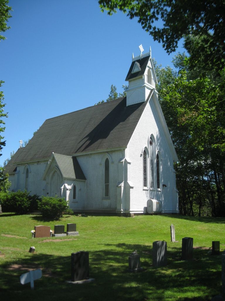
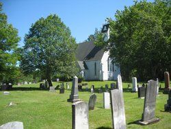
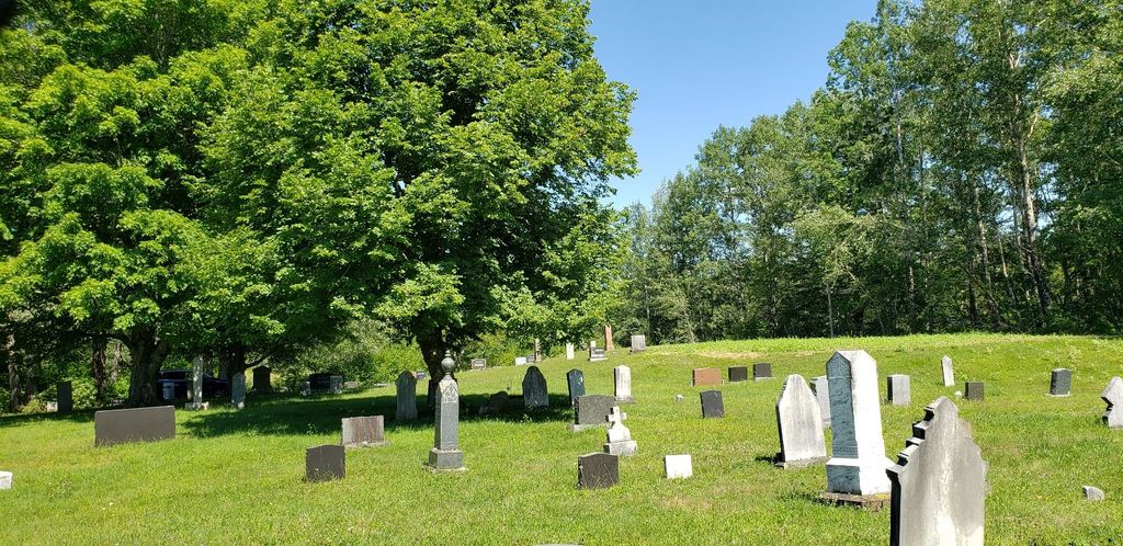
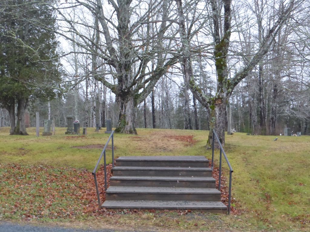
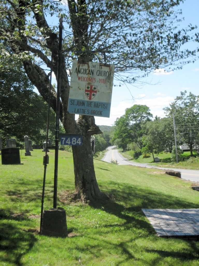
| Description | : | This cemetery is not viewable on Google Earth or Street View. This rural cemetery is situated on Highway 236, a few kilometres outside Maitland, Nova Scotia. Many of the names on the stones are descendents of members of the British 84th Regiment of Foot who fought in the American Revolution and travelled north to Nova Scotia as part of the Loyalist migration of 1783. The first Rector in the area was Reverend Addington Jamison who served for thirteen years from 1870 to 1883, and it was during his tenure that a church was completed on the site in 1881 on land donated... Read More |
frequently asked questions (FAQ):
-
Where is Saint John The Baptist Anglican Church Cemetery?
Saint John The Baptist Anglican Church Cemetery is located at 7484 Highway 236 Maple Grove, Hants County ,Nova Scotia ,Canada.
-
Saint John The Baptist Anglican Church Cemetery cemetery's updated grave count on graveviews.com?
2 memorials
-
Where are the coordinates of the Saint John The Baptist Anglican Church Cemetery?
Latitude: 45.2422390
Longitude: -63.5526470

Nearby Cemetories:
1. Five Mile River Cemetery
Five Mile River, Hants County, Canada
Coordinate: 45.2161900, -63.6176900
2. South Maitland United Church Cemetery
South Maitland, Hants County, Canada
Coordinate: 45.2404910, -63.4589410
3. Holy Trinity Anglican Church Cemetery
Maitland, Hants County, Canada
Coordinate: 45.3100830, -63.5059720
4. Fisher Creek Cemetery
Green Oaks, Colchester County, Canada
Coordinate: 45.2606300, -63.4475470
5. Lower Selma Heritage Cemetery
Lower Selma, Hants County, Canada
Coordinate: 45.3130200, -63.6002500
6. Selma United Church Cemetery
Selma, Hants County, Canada
Coordinate: 45.3218840, -63.5359470
7. Saint Francis Xavier Roman Catholic Cemetery
Maitland, Hants County, Canada
Coordinate: 45.3101390, -63.4900170
8. Saint David's United Church Cemetery
Maitland, Hants County, Canada
Coordinate: 45.3173920, -63.5000690
9. Oak Island Cemetery
Maitland, Hants County, Canada
Coordinate: 45.3178910, -63.5003540
10. South Maitland Cemetery
South Maitland, Hants County, Canada
Coordinate: 45.3180260, -63.4972000
11. Saint Peters Anglican Church Cemetery
Upper Kennetcook, Hants County, Canada
Coordinate: 45.1985700, -63.6656600
12. Green Oaks Calvary Union Cemetery
Green Oaks, Colchester County, Canada
Coordinate: 45.2435905, -63.4207847
13. Noel Shore Cemetery
Noel Shore, Hants County, Canada
Coordinate: 45.3081810, -63.6622280
14. Greens Creek Cemetery
Green Creek, Colchester County, Canada
Coordinate: 45.2495730, -63.3893970
15. Saint Thomas' Anglican Church Cemetery
MacPhees Corner, Hants County, Canada
Coordinate: 45.1217110, -63.5406590
16. White Cemetery
White Settlement, Hants County, Canada
Coordinate: 45.2072935, -63.7265883
17. Admiral Rock United Church Cemetery
Admiral Rock, Hants County, Canada
Coordinate: 45.1688330, -63.4045730
18. Old Clifton Cemetery
Clifton, Colchester County, Canada
Coordinate: 45.3323900, -63.4190100
19. Noel Cemetery
Noel, Hants County, Canada
Coordinate: 45.2985450, -63.7225810
20. Kennetcook Cemetery
Kennetcook, Hants County, Canada
Coordinate: 45.1791500, -63.7195900
21. Noel Road Cemetery
Noel Road, Hants County, Canada
Coordinate: 45.2055320, -63.7363240
22. Old Barns Cemetery
Old Barns, Colchester County, Canada
Coordinate: 45.3359930, -63.4115360
23. United Church Cemetery
Clifton, Colchester County, Canada
Coordinate: 45.3367800, -63.4118300
24. Christ Church Cemetery
Beaver Brook, Colchester County, Canada
Coordinate: 45.3371240, -63.4112830