
| Memorials | : | 0 |
| Location | : | Lombardy, Sunflower County, USA |
| Coordinate | : | 33.8810690, -90.6449850 |
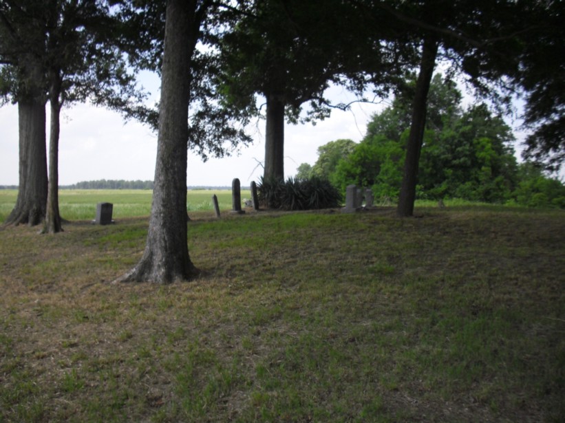
| Description | : | Aldridge Cemetery is located about 2.1 miles west of Lombardy Road and the Sunflower River on E. Mound Bayou Road. The cemetery is on the north side of the road and is located on the banks of Hyde Bayou and is visible from the Mound Bayou Road. The cemetery is maintained by the Aldridge family. It is a well-kept cemetery. |
frequently asked questions (FAQ):
-
Where is Aldridge Cemetery?
Aldridge Cemetery is located at E. Mound Bayou Road Lombardy, Sunflower County ,Mississippi ,USA.
-
Aldridge Cemetery cemetery's updated grave count on graveviews.com?
0 memorials
-
Where are the coordinates of the Aldridge Cemetery?
Latitude: 33.8810690
Longitude: -90.6449850
Nearby Cemetories:
1. Shady Grove Cemetery
Sunflower County, USA
Coordinate: 33.8786011, -90.6207962
2. Pilgrim Rest Cemetery
Lombardy, Sunflower County, USA
Coordinate: 33.9007988, -90.6156006
3. Wanderer's Home Cemetery
Mound Bayou, Bolivar County, USA
Coordinate: 33.8799200, -90.6833300
4. Beautiful Star Church Cemetery
Mound Bayou, Bolivar County, USA
Coordinate: 33.9007900, -90.6752100
5. Clay Church Road Cemetery
Drew, Sunflower County, USA
Coordinate: 33.9157295, -90.6525955
6. Spring Hill Church Cemetery
Winstonville, Bolivar County, USA
Coordinate: 33.9234400, -90.6758100
7. Zion Church Cemetery
Winstonville, Bolivar County, USA
Coordinate: 33.9083300, -90.6975500
8. Azion Missionary Baptist Church Cemetery
Mound Bayou, Bolivar County, USA
Coordinate: 33.9084240, -90.6977340
9. New Jerusalem M. B. Church Cemetery
Drew, Sunflower County, USA
Coordinate: 33.8776900, -90.5752800
10. Bradford Chapel Cemetery
Winstonville, Bolivar County, USA
Coordinate: 33.9236300, -90.6933200
11. Sandy Bayou Cemetery
Sunflower County, USA
Coordinate: 33.8521996, -90.5808029
12. Rutherford Cemetery
Drew, Sunflower County, USA
Coordinate: 33.8611800, -90.5732400
13. Mound Bayou Cemetery
Mound Bayou, Bolivar County, USA
Coordinate: 33.8779800, -90.7246800
14. Wesley United Methodist Cemetery
Mound Bayou, Bolivar County, USA
Coordinate: 33.8781500, -90.7255100
15. Mound Bayou Memorial Gardens
Mound Bayou, Bolivar County, USA
Coordinate: 33.8864300, -90.7268800
16. Merigold-Drew Road Cemetery
Merigold, Bolivar County, USA
Coordinate: 33.8318770, -90.7031910
17. Jerusalem Cemetery
Cleveland, Bolivar County, USA
Coordinate: 33.8643700, -90.7272800
18. Pilgrim Rest Cemetery
Winstonville, Bolivar County, USA
Coordinate: 33.9065200, -90.7283500
19. Saint Gabriel Cemetery
Mound Bayou, Bolivar County, USA
Coordinate: 33.8780000, -90.7341400
20. Merigold Cemetery
Merigold, Bolivar County, USA
Coordinate: 33.8364600, -90.7178300
21. German Lane Cemetery
Bolivar County, USA
Coordinate: 33.9519005, -90.6763992
22. Lampton Chapel Cemetery
Merigold, Bolivar County, USA
Coordinate: 33.8363200, -90.7383000
23. Thomas Cemetery
Merigold, Bolivar County, USA
Coordinate: 33.8363490, -90.7383930
24. Mount Moriah Church Cemetery
Whitney, Sunflower County, USA
Coordinate: 33.8550700, -90.5369400