| Memorials | : | 10 |
| Location | : | Independence, Grayson County, USA |
| Coordinate | : | 36.6119140, -81.1931400 |
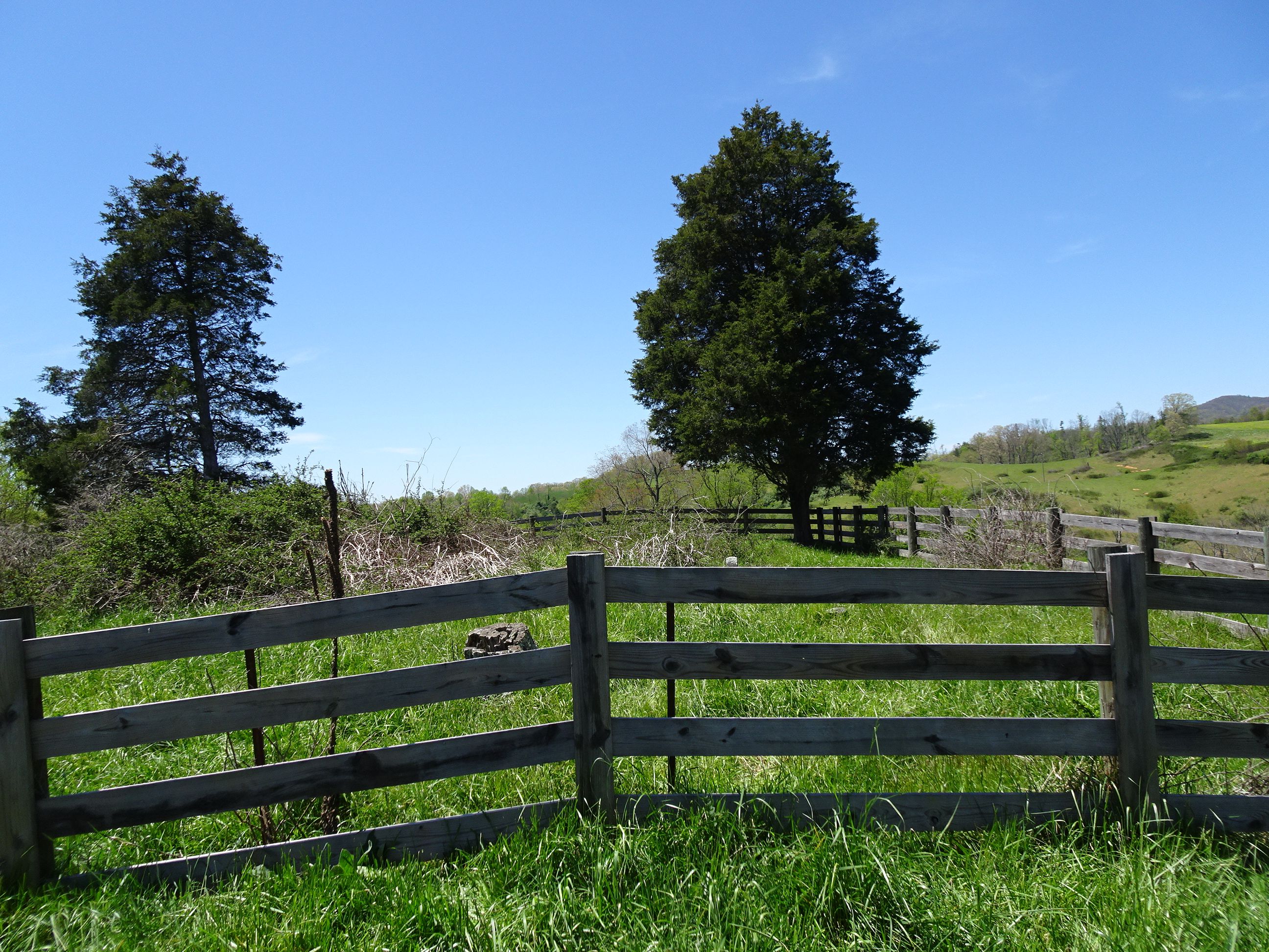
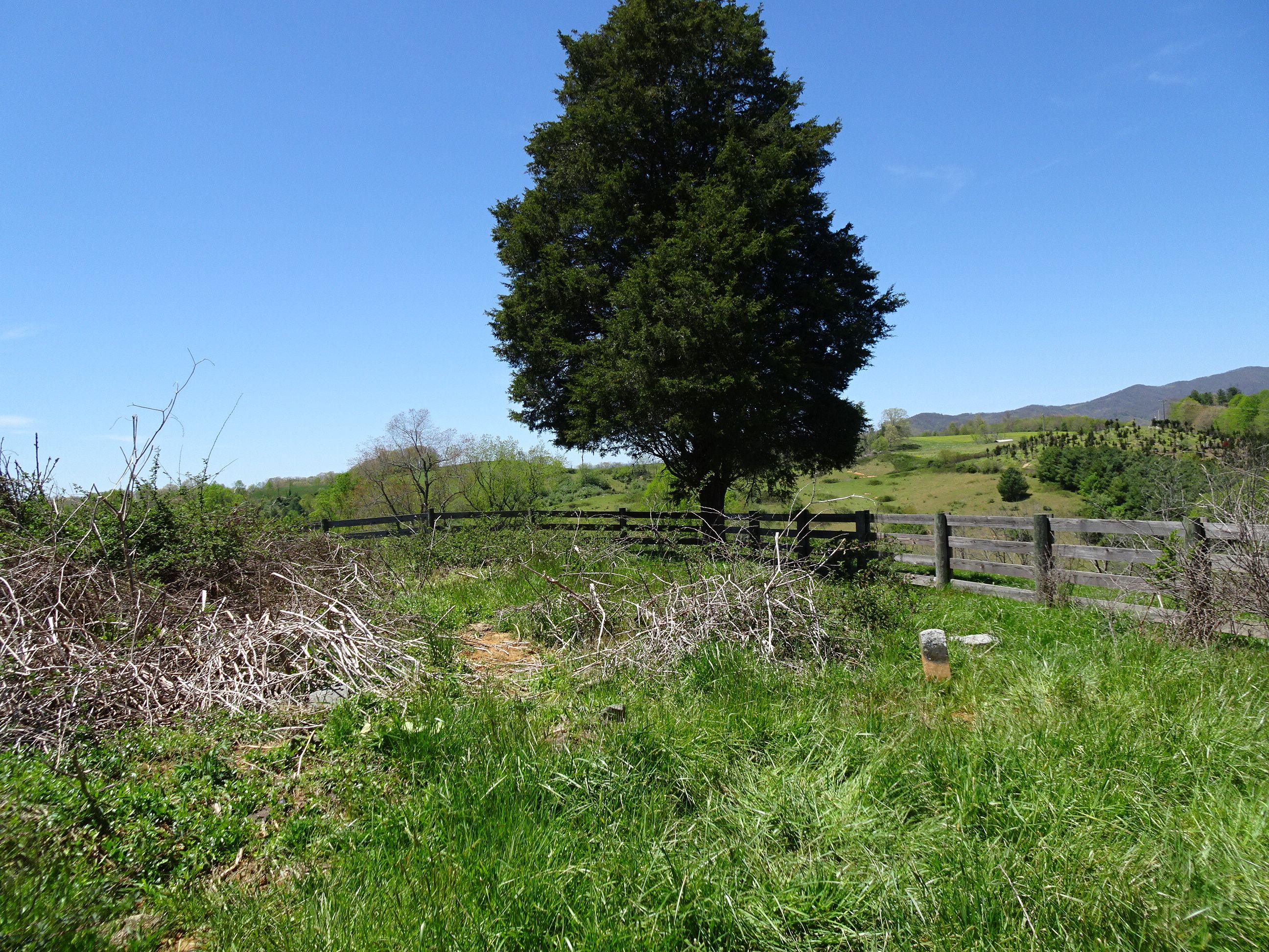
| Description | : | Location: This cemetery is south of Wilson Hwy east of Battlefield Drive on a knoll behind Rixey's Market. Directions: From junction of Battlefield Rd (Rt 711) and Wilson Hwy (US 58) go south on Battlefield Rd about 0.2 mile to access to cemetery. The cemetery is about 0.1 mile from road and is visible on the hilltop. Surveyed by: Ginger Ballard on 20 March 2004. Information on the Anderson burials was provided by Ricky Anderson. Comments: This cemetery lies on a knoll in a pasture. It is surrounded by a board fence and is clearly visible from U.S. 58. While it was not... Read More |
frequently asked questions (FAQ):
-
Where is Alexander D. Osborne Cemetery?
Alexander D. Osborne Cemetery is located at Battlefield Drive (Rt. 711) Independence, Grayson County ,Virginia , 24348USA.
-
Alexander D. Osborne Cemetery cemetery's updated grave count on graveviews.com?
10 memorials
-
Where are the coordinates of the Alexander D. Osborne Cemetery?
Latitude: 36.6119140
Longitude: -81.1931400
Nearby Cemetories:
1. Andrew Jackson Haga Cemetery
Independence, Grayson County, USA
Coordinate: 36.5988000, -81.1974300
2. William Farmer Cemetery
Independence, Grayson County, USA
Coordinate: 36.5961890, -81.1895530
3. Joshua Mack Cox Cemetery
Independence, Grayson County, USA
Coordinate: 36.6104650, -81.1721170
4. Ben Taylor Cemetery
Independence, Grayson County, USA
Coordinate: 36.5938300, -81.1990000
5. Mountain View Baptist Church Cemetery
Independence, Grayson County, USA
Coordinate: 36.5922690, -81.1917250
6. Hardin Cox Family Cemetery
Independence, Grayson County, USA
Coordinate: 36.5932380, -81.1790320
7. Cox Cemetery
Independence, Grayson County, USA
Coordinate: 36.5928001, -81.1785965
8. William Ham Family Cemetery
Cox Mill, Grayson County, USA
Coordinate: 36.5920690, -81.2109530
9. Martin Family Cemetery
Independence, Grayson County, USA
Coordinate: 36.6021170, -81.1651990
10. Boyer-Poe Cemetery
Independence, Grayson County, USA
Coordinate: 36.6213400, -81.1640800
11. Osborne R. Anders Cemetery
Independence, Grayson County, USA
Coordinate: 36.5882890, -81.2049070
12. Columbus Carrico Family Cemetery
Elk Creek, Grayson County, USA
Coordinate: 36.6380000, -81.1997000
13. Gilham Cemetery
Independence, Grayson County, USA
Coordinate: 36.5907860, -81.1720840
14. Saddle Creek Church Cemetery
Independence, Grayson County, USA
Coordinate: 36.6227989, -81.2241974
15. Independence Town Cemetery
Independence, Grayson County, USA
Coordinate: 36.6260790, -81.1603590
16. Ruth Howell Gravesite
Cox Mill, Grayson County, USA
Coordinate: 36.5906680, -81.2195970
17. Isaac Boyer Cemetery
Independence, Grayson County, USA
Coordinate: 36.5948190, -81.1615620
18. Osborne Fort Cemetery
Bridle Creek, Grayson County, USA
Coordinate: 36.6009430, -81.2295110
19. James C. Vaughan Cemetery
Independence, Grayson County, USA
Coordinate: 36.6009420, -81.1552320
20. Ward-Sexton Cemetery
Independence, Grayson County, USA
Coordinate: 36.6260000, -81.2296000
21. Independence Cemetery
Independence, Grayson County, USA
Coordinate: 36.6231660, -81.1546420
22. Caudill Cemetery
Independence, Grayson County, USA
Coordinate: 36.5796920, -81.1825330
23. Oak Grove Cemetery
Independence, Grayson County, USA
Coordinate: 36.6232986, -81.2324982
24. Fleming S Thomas Cemetery
Independence, Grayson County, USA
Coordinate: 36.6158340, -81.1510190


