
| Memorials | : | 32 |
| Location | : | Bridle Creek, Grayson County, USA |
| Coordinate | : | 36.6009430, -81.2295110 |
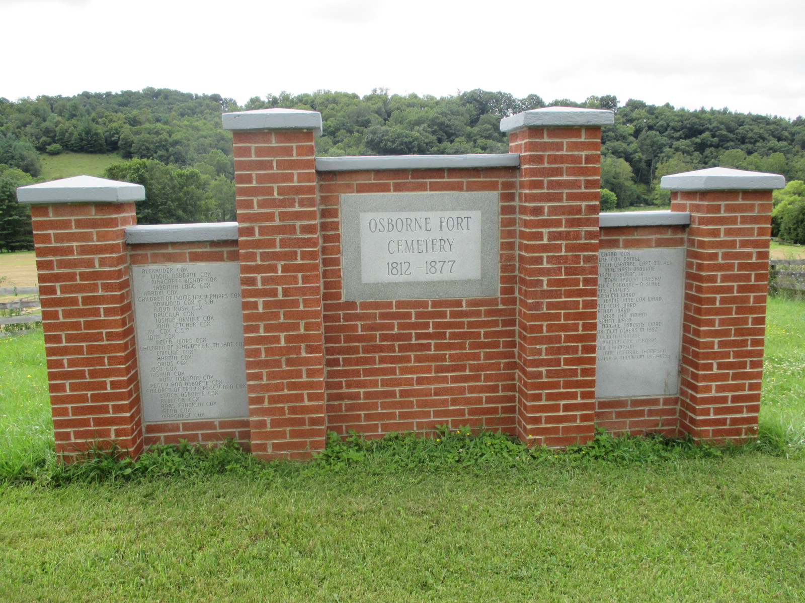
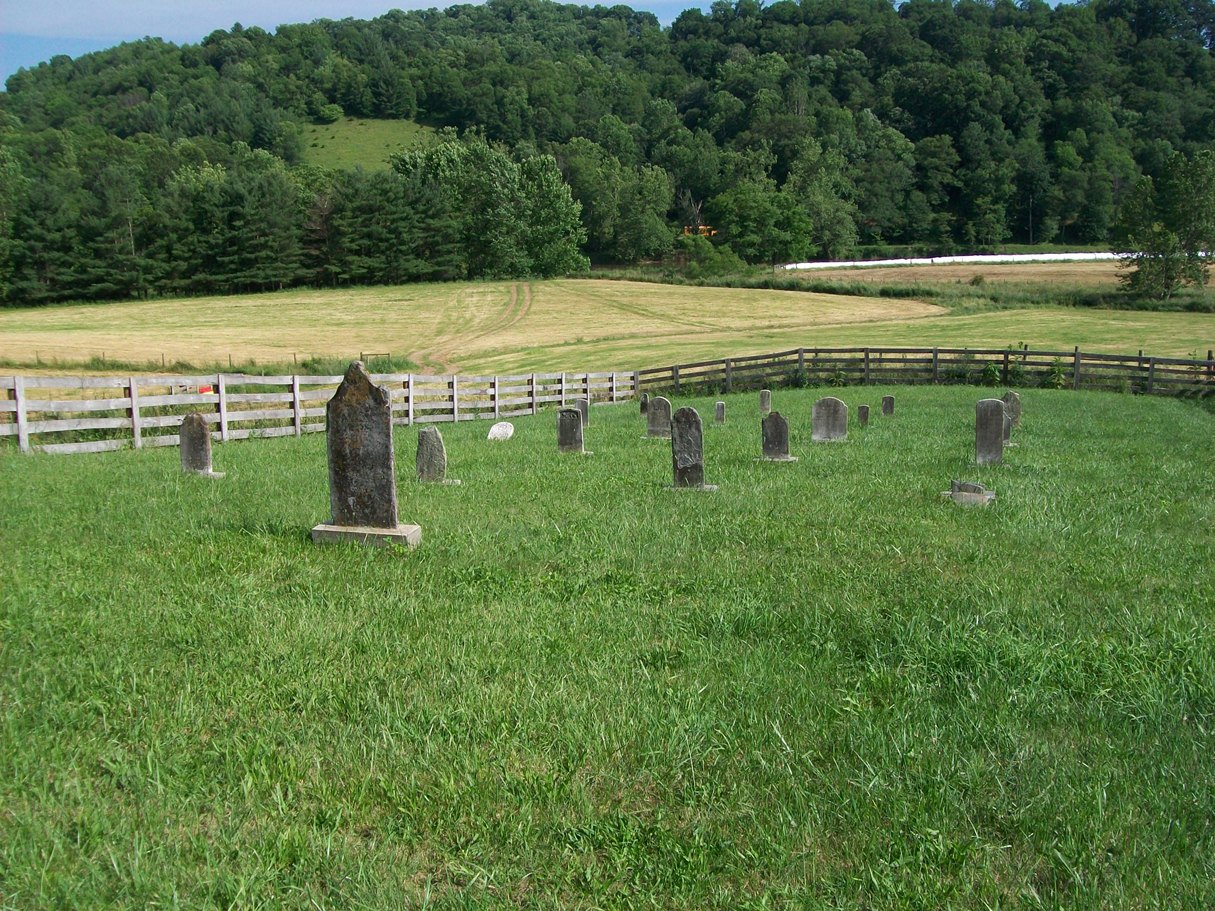
| Description | : | On New River south of U.S. 58 west of Independence This cemetery is located near New River on Route 711 (Battlefield Drive) 0.7 mi from the intersection with Route 601 (Bridle Creek Road) A large monument constructed around 1982 lists those persons known by people of the community to have been buried here. There are without doubt others buried here. All original stones were removed by the landowner in the late 1950s. Some of these orignial headstones and footstones were recovered and stored at Cox's Chapel Cemetery. In 2004 these recovered stones were placed in individual concrete pads within the cemetery area. According to... Read More |
frequently asked questions (FAQ):
-
Where is Osborne Fort Cemetery?
Osborne Fort Cemetery is located at Route 711 (Battlefield Drive) 0.7 mi from the intersection with Route 601 (Bridle Creek Road) Bridle Creek, Grayson County ,Virginia ,USA.
-
Osborne Fort Cemetery cemetery's updated grave count on graveviews.com?
32 memorials
-
Where are the coordinates of the Osborne Fort Cemetery?
Latitude: 36.6009430
Longitude: -81.2295110
Nearby Cemetories:
1. Ruth Howell Gravesite
Cox Mill, Grayson County, USA
Coordinate: 36.5906680, -81.2195970
2. Silas Ward Family Cemetery
Bridle Creek, Grayson County, USA
Coordinate: 36.5944650, -81.2447570
3. Rose Family Cemetery
Bridle Creek, Grayson County, USA
Coordinate: 36.6138220, -81.2401380
4. Hash-Shaver Cemetery
Independence, Grayson County, USA
Coordinate: 36.6042160, -81.2484510
5. William Ham Family Cemetery
Cox Mill, Grayson County, USA
Coordinate: 36.5920690, -81.2109530
6. Isom Cox Cemetery
Grayson County, USA
Coordinate: 36.5927590, -81.2487870
7. Enoch W. Cox Family Cemetery
Elk Creek, Grayson County, USA
Coordinate: 36.5900000, -81.2500000
8. Bridle Creek Cemetery
Independence, Grayson County, USA
Coordinate: 36.6177260, -81.2445850
9. Coxs Chapel Cemetery
Independence, Grayson County, USA
Coordinate: 36.5792007, -81.2285995
10. Saddle Creek Church Cemetery
Independence, Grayson County, USA
Coordinate: 36.6227989, -81.2241974
11. Oak Grove Cemetery
Independence, Grayson County, USA
Coordinate: 36.6232986, -81.2324982
12. Osborne R. Anders Cemetery
Independence, Grayson County, USA
Coordinate: 36.5882890, -81.2049070
13. Gold Hill Cemetery - Old
Independence, Grayson County, USA
Coordinate: 36.6035900, -81.2601310
14. Ward-Sexton Cemetery
Independence, Grayson County, USA
Coordinate: 36.6260000, -81.2296000
15. Ben Taylor Cemetery
Independence, Grayson County, USA
Coordinate: 36.5938300, -81.1990000
16. Andrew Jackson Haga Cemetery
Independence, Grayson County, USA
Coordinate: 36.5988000, -81.1974300
17. Grace Freewill Baptist Church Cemetery
Independence, Grayson County, USA
Coordinate: 36.6187458, -81.2531391
18. A B Cox Cemetery
Fox, Grayson County, USA
Coordinate: 36.6154450, -81.2567280
19. Bachelors Ward Cemetery
Independence, Grayson County, USA
Coordinate: 36.6261920, -81.2388380
20. Gold Hill Cemetery
Independence, Grayson County, USA
Coordinate: 36.6074630, -81.2640310
21. James P. Hash Cemetery
Independence, Grayson County, USA
Coordinate: 36.6074630, -81.2640310
22. Bob Marsh Cemetery
Independence, Grayson County, USA
Coordinate: 36.5730180, -81.2428840
23. Alexander D. Osborne Cemetery
Independence, Grayson County, USA
Coordinate: 36.6119140, -81.1931400
24. Mountain View Baptist Church Cemetery
Independence, Grayson County, USA
Coordinate: 36.5922690, -81.1917250