| Memorials | : | 21 |
| Location | : | Martinez, Contra Costa County, USA |
| Coordinate | : | 38.0182991, -122.1442032 |
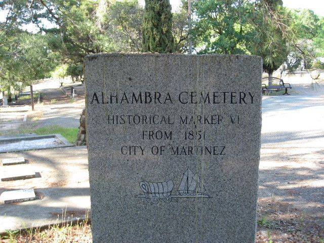
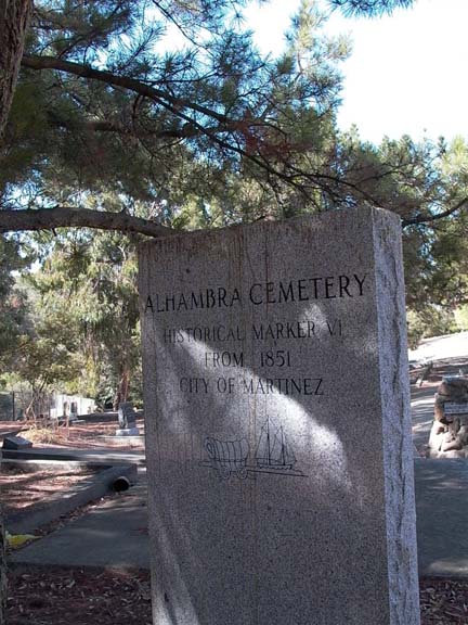
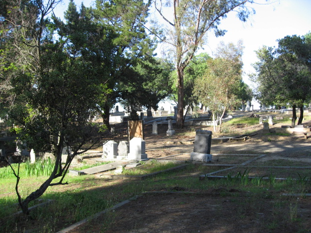
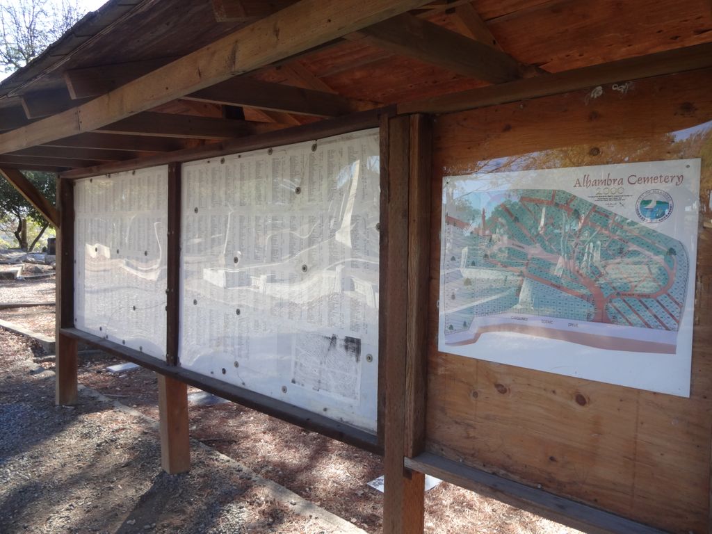
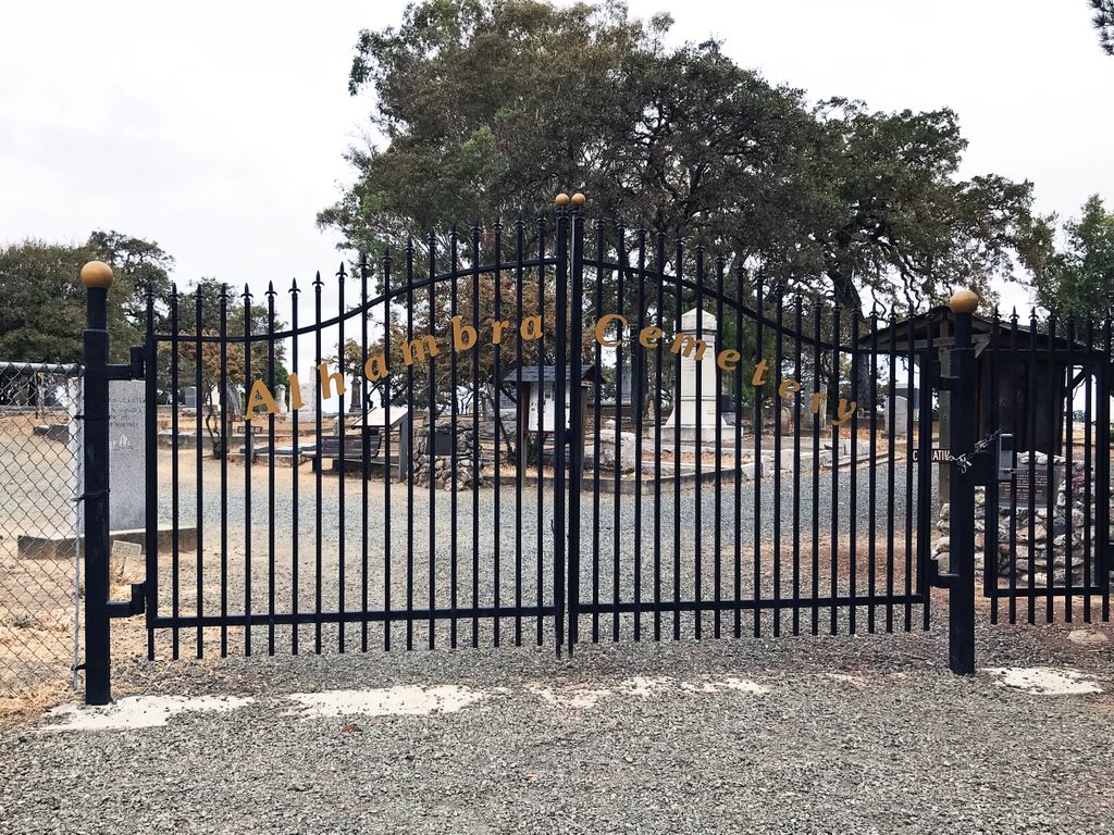
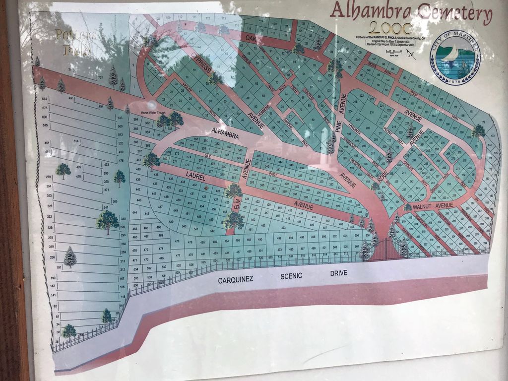
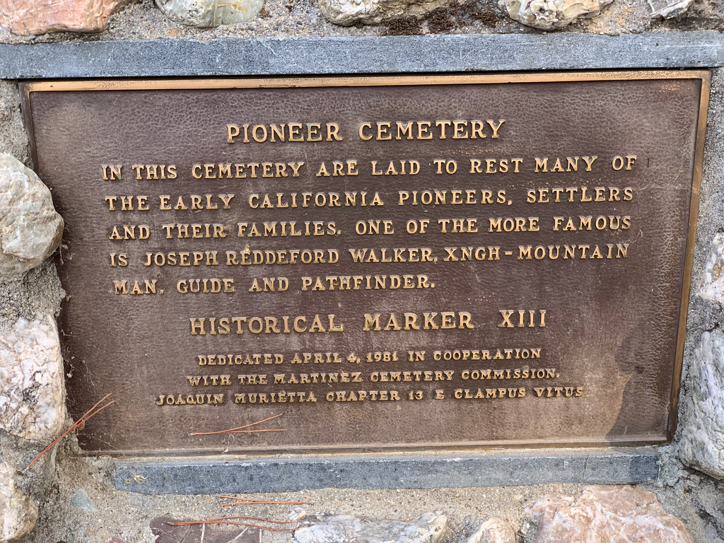
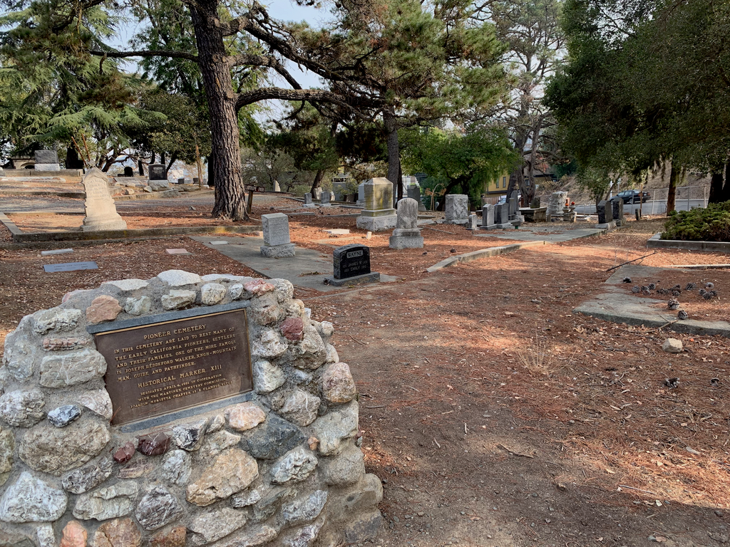
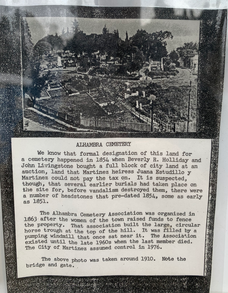
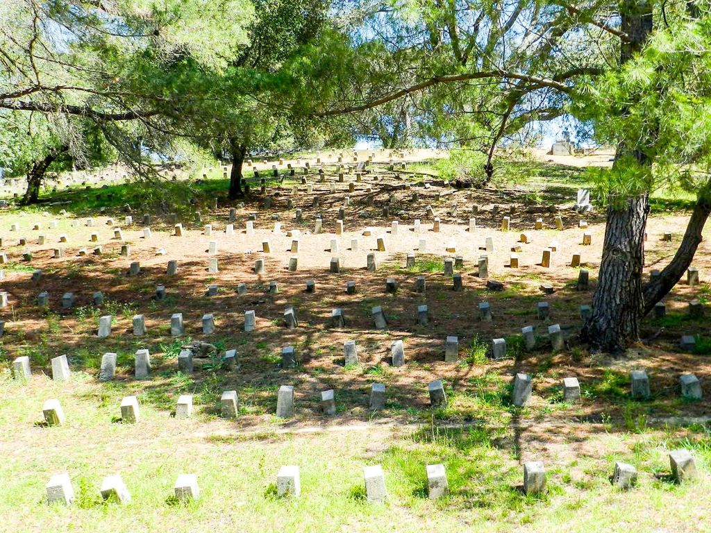
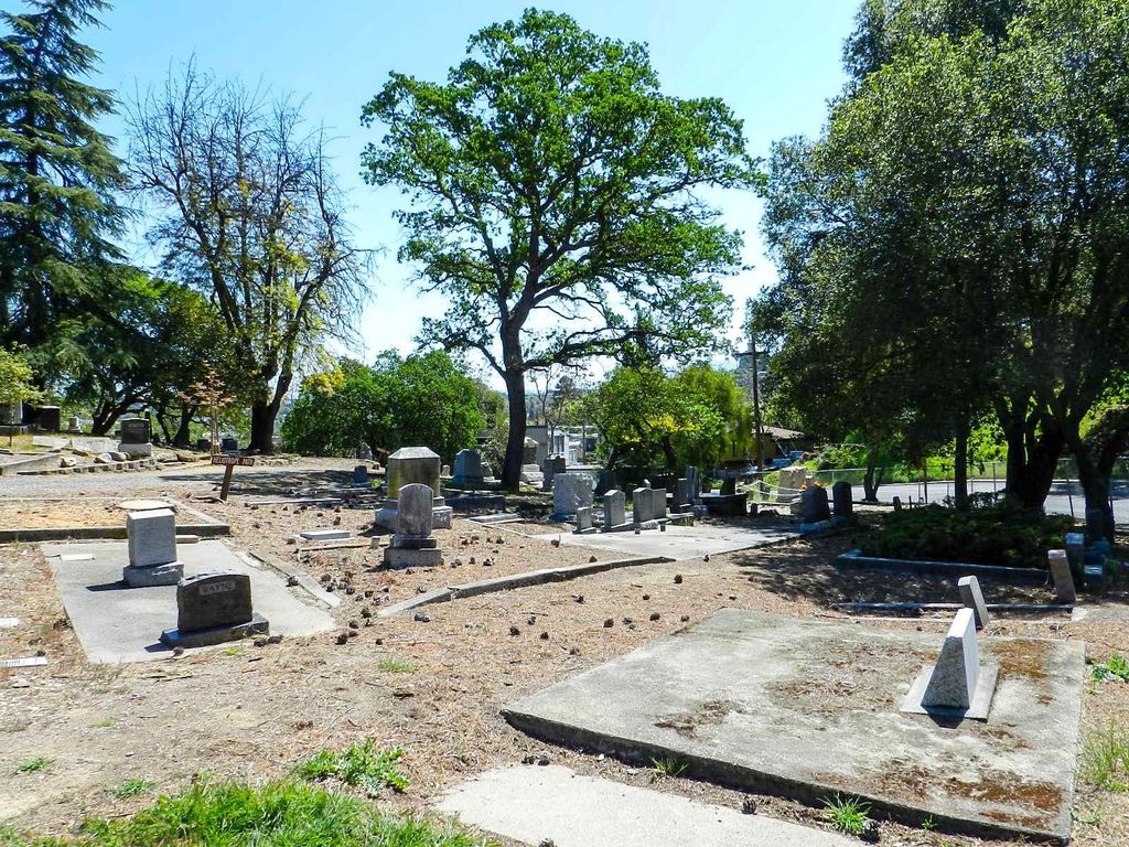
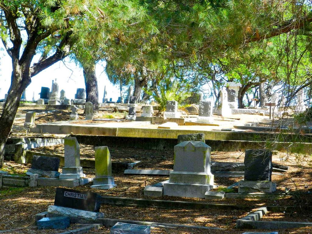
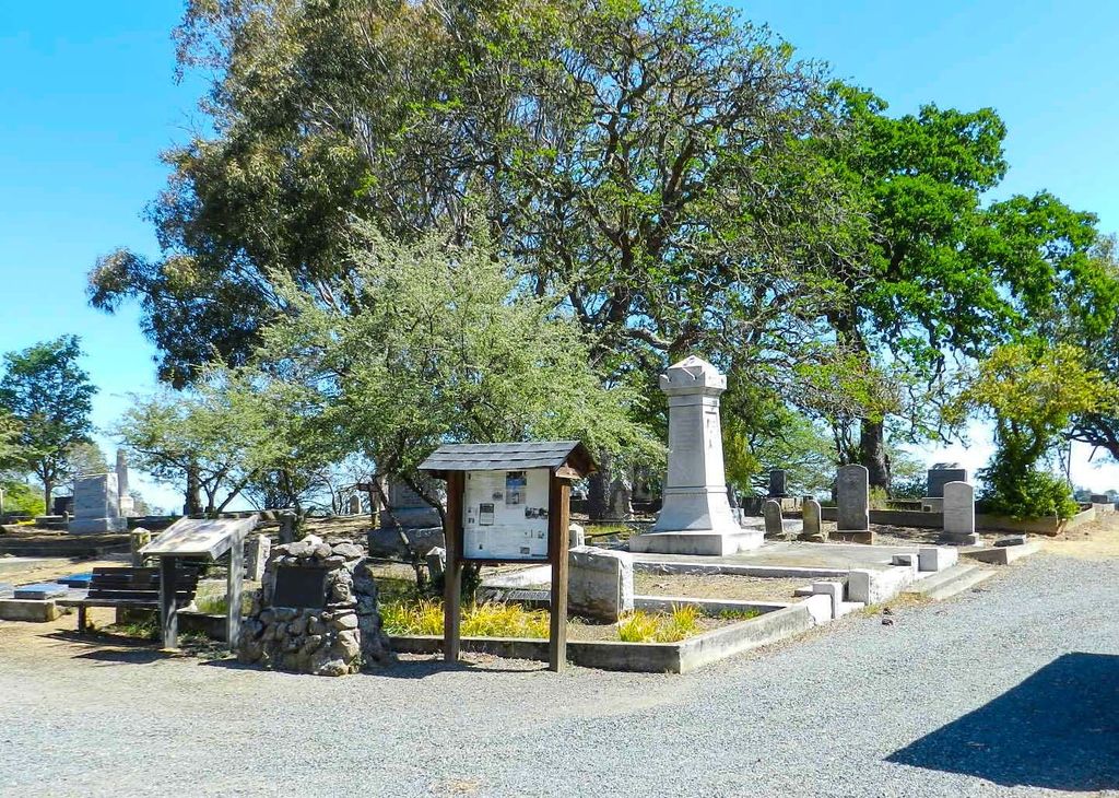
| Description | : | The Alhambra Pioneer Cemetery, originally called the Martinez Cemetery, was originally a portion of the town of Martinez, surveyed into town lots. In March, 1869 the Alhambra Cemetery Association (A.C.A.) was incorporated, purchased the land and operated the cemetery for the benefit of upper and middle class residents. In subsequent years, the Cemetery grew to five acres in size. Immediately west of the Cemetery was a three-acre parcel called Potter’s Field, operated by Contra Costa County, where the indigent and unknown persons (Jane and John Does) were buried. The City of Martinez took over the operation of Alhambra Cemetery... Read More |
frequently asked questions (FAQ):
-
Where is Alhambra Cemetery?
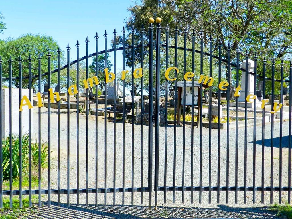
Alhambra Cemetery is located at Carquinez Scenic Route Martinez, Contra Costa County ,California , 94553USA.
-
Alhambra Cemetery cemetery's updated grave count on graveviews.com?
21 memorials
-
Where are the coordinates of the Alhambra Cemetery?
Latitude: 38.0182991
Longitude: -122.1442032
Nearby Cemetories:
1. Saint Catherine of Siena Cemetery
Martinez, Contra Costa County, USA
Coordinate: 38.0172005, -122.1446991
2. Benicia Army Cemetery
Benicia, Solano County, USA
Coordinate: 38.0510820, -122.1419030
3. Benicia City Cemetery
Benicia, Solano County, USA
Coordinate: 38.0576610, -122.1535930
4. Saint Dominics Catholic Cemetery
Benicia, Solano County, USA
Coordinate: 38.0583730, -122.1402900
5. Muir-Strentzel Hanna Cemetery
Martinez, Contra Costa County, USA
Coordinate: 37.9784393, -122.1232681
6. Pacheco Cemetery and Crematory
Pacheco, Contra Costa County, USA
Coordinate: 37.9994011, -122.0729980
7. Glen Cove Sacred Indian Burial Grounds
Vallejo, Solano County, USA
Coordinate: 38.0680620, -122.2064640
8. Rags Gravesite
Crockett, Contra Costa County, USA
Coordinate: 38.0561765, -122.2257217
9. Gan Shalom Cemetery
Contra Costa County, USA
Coordinate: 37.9528122, -122.1975098
10. Oakmont Memorial Park
Lafayette, Contra Costa County, USA
Coordinate: 37.9475746, -122.0988770
11. Queen of Heaven Cemetery
Lafayette, Contra Costa County, USA
Coordinate: 37.9446983, -122.1057968
12. Memory Gardens Cemetery
Concord, Contra Costa County, USA
Coordinate: 38.0093994, -122.0381012
13. All Souls Catholic Cemetery
Vallejo, Solano County, USA
Coordinate: 38.0881690, -122.2077890
14. Saint Vincents Cemetery
Vallejo, Solano County, USA
Coordinate: 38.0881004, -122.2089005
15. Carquinez Cemetery
Vallejo, Solano County, USA
Coordinate: 38.0889015, -122.2108002
16. Skyview Memorial Lawn
Vallejo, Solano County, USA
Coordinate: 38.0920460, -122.2080320
17. Port Chicago Naval Magazine National Memorial
Concord, Contra Costa County, USA
Coordinate: 38.0574610, -122.0296950
18. Mare Island Cemetery
Vallejo, Solano County, USA
Coordinate: 38.0796738, -122.2527008
19. Saint Stephen's Cemetery
Concord, Contra Costa County, USA
Coordinate: 37.9625015, -122.0306015
20. Saint Stephens Episcopal Church Memorial Garden
Orinda, Contra Costa County, USA
Coordinate: 37.8982650, -122.1729170
21. Good Templar Orphanage Cemetery
Vallejo, Solano County, USA
Coordinate: 38.1177930, -122.2411880
22. Lafayette Cemetery
Lafayette, Contra Costa County, USA
Coordinate: 37.8964005, -122.0986023
23. Saint Pauls Episcopal Columbarium
Walnut Creek, Contra Costa County, USA
Coordinate: 37.9014310, -122.0682560
24. Lafayette-Orinda Presbyterian Church Garden
Contra Costa County, USA
Coordinate: 37.8866040, -122.1606950

