
| Memorials | : | 0 |
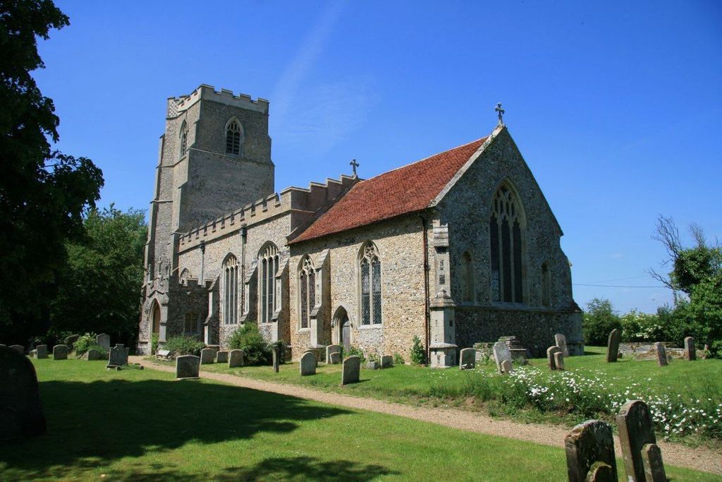
| Location | : | Stansfield, St Edmundsbury Borough, England |
| Website | : | www.achurchnearyou.com/church/1982/ |
| Coordinate | : | 52.1422222, 0.6046667 |
frequently asked questions (FAQ):
-
Where is All Saints Church of Stansfield?
All Saints Church of Stansfield is located at Plough Hill Stansfield, St Edmundsbury Borough ,Suffolk , CO10 8LTEngland.
-
All Saints Church of Stansfield cemetery's updated grave count on graveviews.com?
0 memorials
-
Where are the coordinates of the All Saints Church of Stansfield?
Latitude: 52.1422222
Longitude: 0.6046667
Nearby Cemetories:
1. St. Mary's Churchyard
Hawkedon, St Edmundsbury Borough, England
Coordinate: 52.1457520, 0.6254000
2. Saint Nicholas Church
Denston, St Edmundsbury Borough, England
Coordinate: 52.1468120, 0.5711170
3. St Margaret Churchyard
Somerton, Babergh District, England
Coordinate: 52.1474540, 0.6454900
4. St. Margaret of Antioch Churchyard
Stradishall, St Edmundsbury Borough, England
Coordinate: 52.1434400, 0.5529300
5. All Saints Churchyard
Wickhambrook, St Edmundsbury Borough, England
Coordinate: 52.1604060, 0.5620550
6. All Saints Churchyard
Rede, St Edmundsbury Borough, England
Coordinate: 52.1721960, 0.6379560
7. St. Mary The Virgin Churchyard
Depden, St Edmundsbury Borough, England
Coordinate: 52.1791650, 0.5989290
8. Brockley Baptist Chapel
Brockley, St Edmundsbury Borough, England
Coordinate: 52.1588990, 0.6650810
9. St Mary Churchyard
Poslingford, St Edmundsbury Borough, England
Coordinate: 52.1037270, 0.5828460
10. Holy Trinity Churchyard
Boxted, Babergh District, England
Coordinate: 52.1223680, 0.6640480
11. St. Andrew's Churchyard
Brockley, St Edmundsbury Borough, England
Coordinate: 52.1675880, 0.6659170
12. All Saints Churchyard
Hartest, Babergh District, England
Coordinate: 52.1396780, 0.6793500
13. All Saints Churchyard
Chedburgh, St Edmundsbury Borough, England
Coordinate: 52.1864480, 0.6260630
14. Hartest Cemetery
Hartest, Babergh District, England
Coordinate: 52.1387840, 0.6819620
15. All Saints Churchyard
Hundon, St Edmundsbury Borough, England
Coordinate: 52.1097420, 0.5375940
16. Hundon Chapel
Hundon, St Edmundsbury Borough, England
Coordinate: 52.1106800, 0.5362500
17. St. Mary the Virgin Churchyard
Cavendish, St Edmundsbury Borough, England
Coordinate: 52.0873318, 0.6334569
18. Cavendish Cemetery
Cavendish, St Edmundsbury Borough, England
Coordinate: 52.0868470, 0.6310620
19. St Mary the Virgin Churchyard
Glemsford, Babergh District, England
Coordinate: 52.1033950, 0.6766070
20. Ebenezer Baptist Chapel Burial Ground
Glemsford, Babergh District, England
Coordinate: 52.0957000, 0.6680000
21. St. James Churchyard
Stanstead, Babergh District, England
Coordinate: 52.1116820, 0.6909100
22. St Margaret Antioch Parish Churchyard
Cowlinge, St Edmundsbury Borough, England
Coordinate: 52.1658530, 0.5112440
23. St. George and St. Gregory Churchyard
Pentlow, Braintree District, England
Coordinate: 52.0841020, 0.6441840
24. Clare Baptist Church Cemetery
Clare, St Edmundsbury Borough, England
Coordinate: 52.0788845, 0.5850638