
| Memorials | : | 0 |
| Location | : | Pentlow, Braintree District, England |
| Coordinate | : | 52.0841020, 0.6441840 |
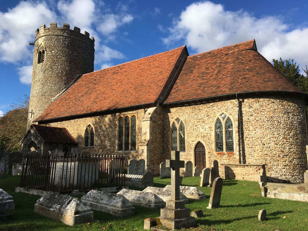
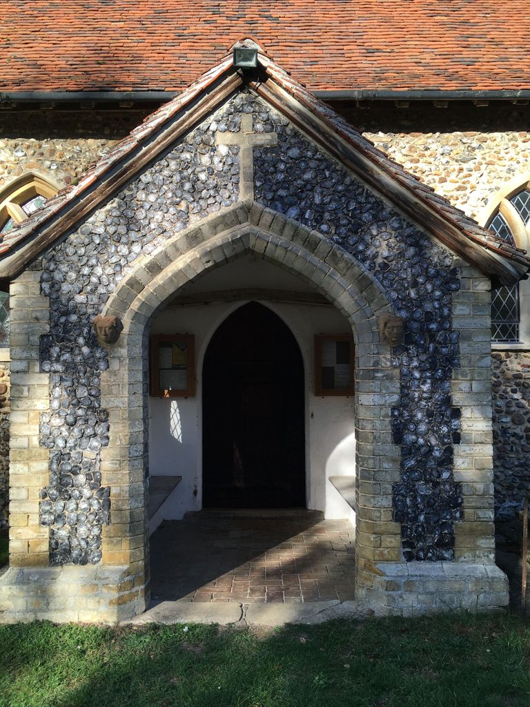
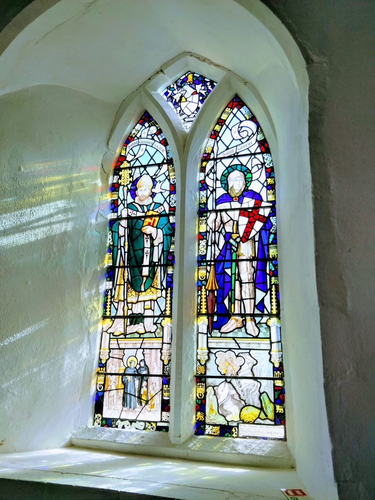
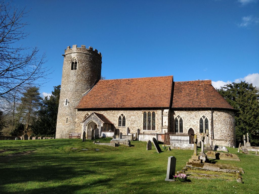
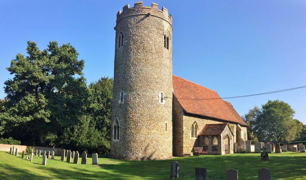
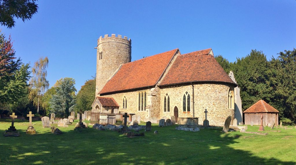
| Description | : | Norman round tower and domed Apse, Ss Gregory & George's is a beautiful church set near to the border with Cavendish in a quite secluded position. |
frequently asked questions (FAQ):
-
Where is St. George and St. Gregory Churchyard?
St. George and St. Gregory Churchyard is located at Pentlow Lane Pentlow, Braintree District ,Essex , CO10 7SPEngland.
-
St. George and St. Gregory Churchyard cemetery's updated grave count on graveviews.com?
0 memorials
-
Where are the coordinates of the St. George and St. Gregory Churchyard?
Latitude: 52.0841020
Longitude: 0.6441840


Nearby Cemetories:
1. St. Mary the Virgin Churchyard
Cavendish, St Edmundsbury Borough, England
Coordinate: 52.0873318, 0.6334569
2. Cavendish Cemetery
Cavendish, St Edmundsbury Borough, England
Coordinate: 52.0868470, 0.6310620
3. Ebenezer Baptist Chapel Burial Ground
Glemsford, Babergh District, England
Coordinate: 52.0957000, 0.6680000
4. Ss Peter and Paul Churchyard
Foxearth, Braintree District, England
Coordinate: 52.0709200, 0.6763800
5. St. Andrew's Churchyard
Belchamp St Paul, Braintree District, England
Coordinate: 52.0603760, 0.6218040
6. St Mary the Virgin Churchyard
Glemsford, Babergh District, England
Coordinate: 52.1033950, 0.6766070
7. Clare Baptist Church Cemetery
Clare, St Edmundsbury Borough, England
Coordinate: 52.0788845, 0.5850638
8. Clare Castle
Clare, St Edmundsbury Borough, England
Coordinate: 52.0780200, 0.5839600
9. Liston Churchyard
Liston, Braintree District, England
Coordinate: 52.0703970, 0.7017420
10. Saint Peter and Saint Paul Churchyard
Clare, St Edmundsbury Borough, England
Coordinate: 52.0791940, 0.5810000
11. St. James Churchyard
Stanstead, Babergh District, England
Coordinate: 52.1116820, 0.6909100
12. Holy Trinity Churchyard
Boxted, Babergh District, England
Coordinate: 52.1223680, 0.6640480
13. Clare United Reformed Churchyard
Clare, St Edmundsbury Borough, England
Coordinate: 52.0772850, 0.5796790
14. Clare Priory
Clare, St Edmundsbury Borough, England
Coordinate: 52.0748070, 0.5803770
15. St. Ethelbert and All Saints Churchyard
Belchamp Otten, Braintree District, England
Coordinate: 52.0449040, 0.6281640
16. Clare Parish Cemetery
Clare, St Edmundsbury Borough, England
Coordinate: 52.0786332, 0.5776441
17. Borley Parish Churchyard
Borley, Braintree District, England
Coordinate: 52.0551490, 0.6932870
18. St Mary Churchyard
Poslingford, St Edmundsbury Borough, England
Coordinate: 52.1037270, 0.5828460
19. Independent Chapel Cemetery
Long Melford, Babergh District, England
Coordinate: 52.0755010, 0.7157700
20. Holy Trinity Churchyard
Long Melford, Babergh District, England
Coordinate: 52.0877110, 0.7207640
21. Belchamp Walter Cemetery
Belchamp Walter, Braintree District, England
Coordinate: 52.0346000, 0.6624000
22. St. Mary the Virgin Churchyard
Belchamp Walter, Braintree District, England
Coordinate: 52.0345600, 0.6627120
23. St. Mary's Churchyard
Ovington, Braintree District, England
Coordinate: 52.0533560, 0.5702170
24. Hartest Cemetery
Hartest, Babergh District, England
Coordinate: 52.1387840, 0.6819620