
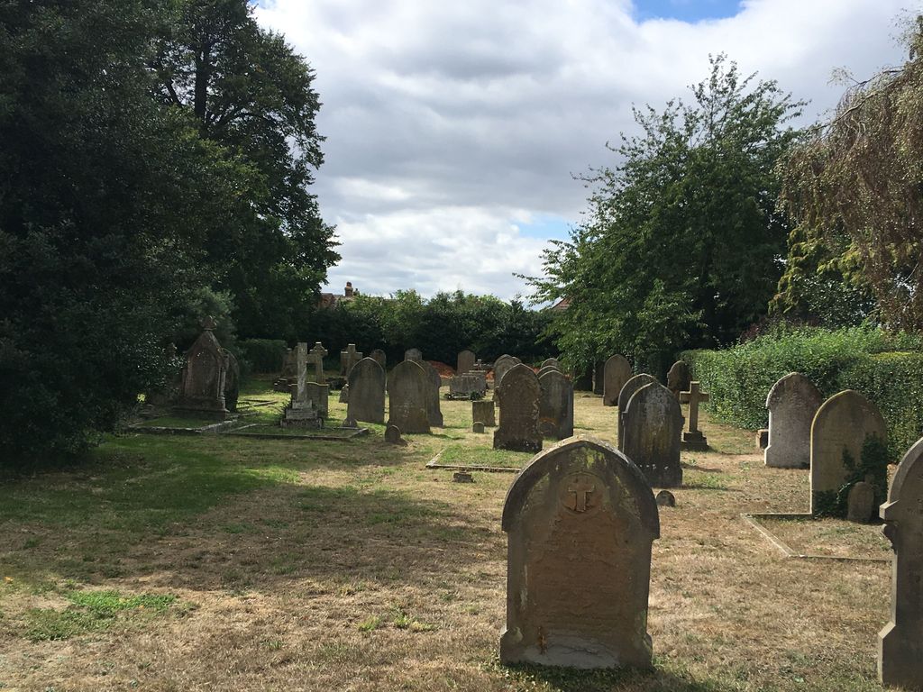
| Memorials | : | 0 |
| Location | : | Cople, Bedford Borough, England |
| Coordinate | : | 52.1235000, -0.3899000 |
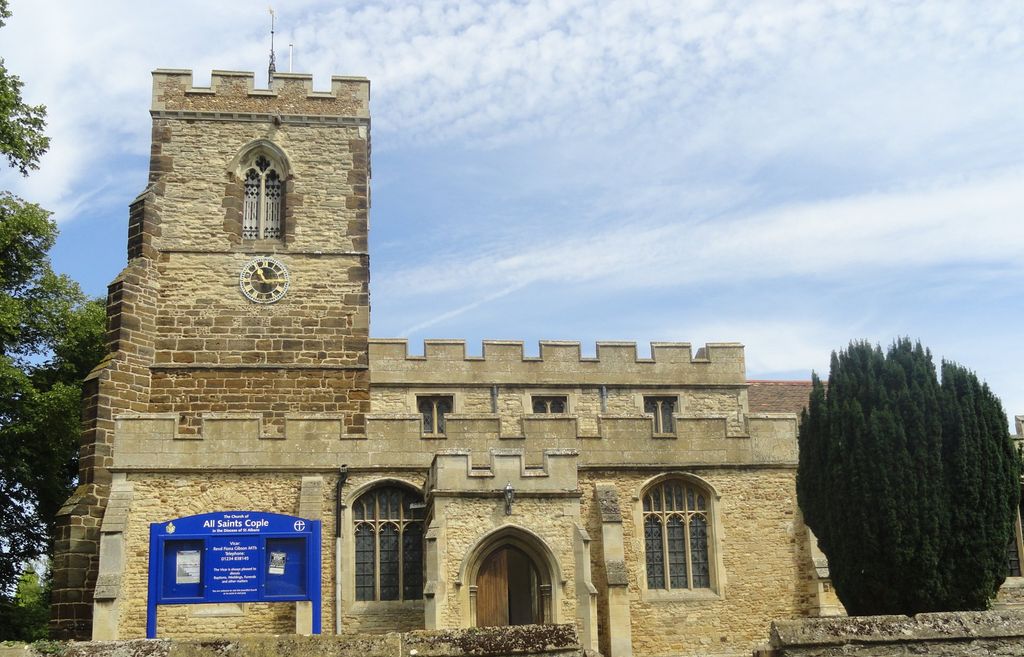
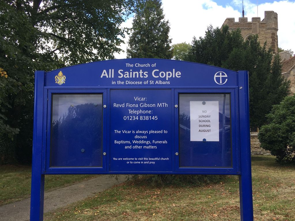
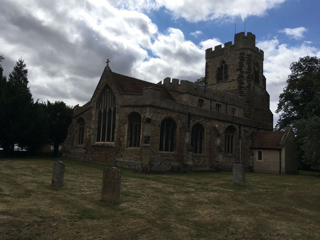
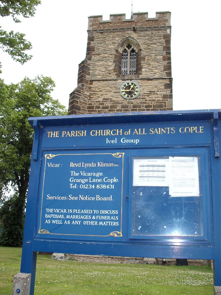
| Description | : | All Saints Church sits in the centre of Cople and was originally built soon after 1087 and then parts of it were extended in the early 16th century. The top of the original ironstone tower is the only modern part of the building. Many visitors come to the Church to see the brasses all of which commemorate people who were members of the families who owned the manors in the parish and who built or rebuilt the church. The brasses date from 1400 to 1563. The burial register states that the last funeral to take place... Read More |
frequently asked questions (FAQ):
-
Where is All Saints Churchyard?
All Saints Churchyard is located at 1 Grange Lane Cople, Bedford Borough ,Bedfordshire , MK44 3TTEngland.
-
All Saints Churchyard cemetery's updated grave count on graveviews.com?
0 memorials
-
Where are the coordinates of the All Saints Churchyard?
Latitude: 52.1235000
Longitude: -0.3899000

Nearby Cemetories:
1. Cople Cemetery
Cople, Bedford Borough, England
Coordinate: 52.1227395, -0.3910262
2. St. Lawrence's Churchyard
Willington, Bedford Borough, England
Coordinate: 52.1362631, -0.3847213
3. St. Mary's Churchyard
Cardington, Bedford Borough, England
Coordinate: 52.1187000, -0.4147400
4. Cotton End Baptist Church Churchyard
Bedford Borough, England
Coordinate: 52.0972832, -0.4166728
5. St. Mary the Virgin Churchyard
Goldington, Bedford Borough, England
Coordinate: 52.1468870, -0.4285910
6. Bedford Cemetery and Crematorium
Renhold, Bedford Borough, England
Coordinate: 52.1541530, -0.4123510
7. Newnham Priory
Bedford, Bedford Borough, England
Coordinate: 52.1327710, -0.4437190
8. St. John the Evangelist Churchyard
Mogerhanger, Central Bedfordshire Unitary Authority, England
Coordinate: 52.1305000, -0.3325000
9. All Saints Churchyard
Great Barford, Bedford Borough, England
Coordinate: 52.1520280, -0.3439850
10. All Saints Churchyard
Renhold, Bedford Borough, England
Coordinate: 52.1632000, -0.4095000
11. St Mary the Virgin Churchyard
Northill, Central Bedfordshire Unitary Authority, England
Coordinate: 52.1053300, -0.3239650
12. Saint Cuthberts Churchyard
Bedford, Bedford Borough, England
Coordinate: 52.1367460, -0.4629300
13. Bunyan Meeting Burial Ground
Bedford, Bedford Borough, England
Coordinate: 52.1369100, -0.4637500
14. St. Mary's Churchyard
Bedford, Bedford Borough, England
Coordinate: 52.1328400, -0.4654400
15. St. Leonard's Churchyard
Old Warden, Central Bedfordshire Unitary Authority, England
Coordinate: 52.0855860, -0.3424550
16. Howard Chapel
Bedford, Bedford Borough, England
Coordinate: 52.1368000, -0.4652000
17. Bedford Moravian Chapel
Bedford, Bedford Borough, England
Coordinate: 52.1393000, -0.4644000
18. St. Paul's Churchyard
Bedford, Bedford Borough, England
Coordinate: 52.1354200, -0.4674300
19. St. Peter de Merton with St. Cuthbert Churchyard
Bedford, Bedford Borough, England
Coordinate: 52.1394000, -0.4662000
20. St. Mary and St. Helena Churchyard
Elstow, Bedford Borough, England
Coordinate: 52.1149520, -0.4693890
21. Bedford Prison Cemetery
Bedford, Bedford Borough, England
Coordinate: 52.1395000, -0.4701000
22. Holy Trinity Churchyard
Bedford, Bedford Borough, England
Coordinate: 52.1395000, -0.4728000
23. Franciscan Friars Minor
Bedford, Bedford Borough, England
Coordinate: 52.1388480, -0.4748420
24. Foster Hill Road Cemetery
Bedford, Bedford Borough, England
Coordinate: 52.1473880, -0.4700030