
| Memorials | : | 0 |
| Location | : | Mogerhanger, Central Bedfordshire Unitary Authority, England |
| Coordinate | : | 52.1305000, -0.3325000 |
frequently asked questions (FAQ):
-
Where is St. John the Evangelist Churchyard?
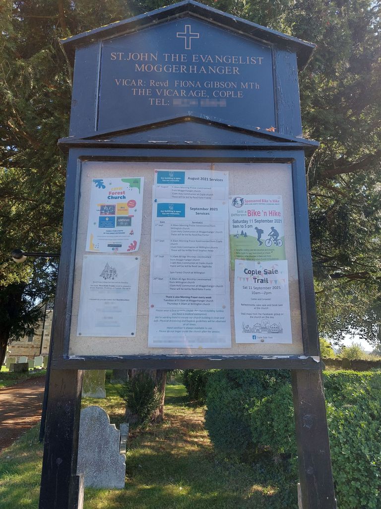
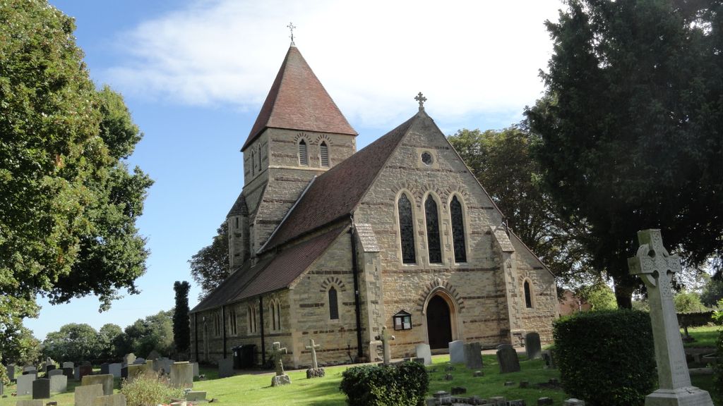
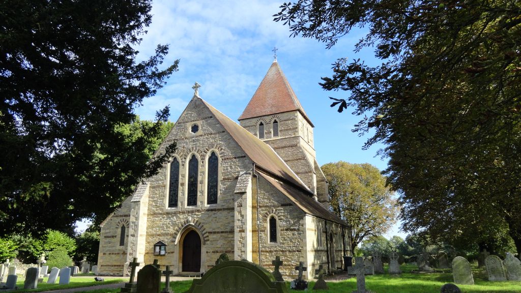
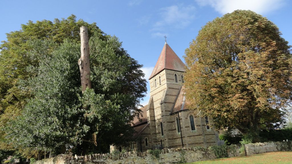
St. John the Evangelist Churchyard is located at Blunham Road Mogerhanger, Central Bedfordshire Unitary Authority ,Bedfordshire , MK44 3RNEngland.
-
St. John the Evangelist Churchyard cemetery's updated grave count on graveviews.com?
0 memorials
-
Where are the coordinates of the St. John the Evangelist Churchyard?
Latitude: 52.1305000
Longitude: -0.3325000

Nearby Cemetories:
1. All Saints Churchyard
Great Barford, Bedford Borough, England
Coordinate: 52.1520280, -0.3439850
2. St Mary the Virgin Churchyard
Northill, Central Bedfordshire Unitary Authority, England
Coordinate: 52.1053300, -0.3239650
3. Old Baptist Burial Ground
Sandy, Central Bedfordshire Unitary Authority, England
Coordinate: 52.1299590, -0.2884590
4. St Swithun Churchyard
Sandy, Central Bedfordshire Unitary Authority, England
Coordinate: 52.1273583, -0.2862773
5. St. Lawrence's Churchyard
Willington, Bedford Borough, England
Coordinate: 52.1362631, -0.3847213
6. Sandy Cemetery
Sandy, Central Bedfordshire Unitary Authority, England
Coordinate: 52.1245500, -0.2783300
7. All Saints Churchyard
Cople, Bedford Borough, England
Coordinate: 52.1235000, -0.3899000
8. Cople Cemetery
Cople, Bedford Borough, England
Coordinate: 52.1227395, -0.3910262
9. Tempsford Village Cemetery
Tempsford, Central Bedfordshire Unitary Authority, England
Coordinate: 52.1639000, -0.3024500
10. St. Leonard's Churchyard
Old Warden, Central Bedfordshire Unitary Authority, England
Coordinate: 52.0855860, -0.3424550
11. St. Mary Magdalene Churchyard
Roxton, Bedford Borough, England
Coordinate: 52.1769310, -0.3146280
12. St. Mary's Churchyard
Cardington, Bedford Borough, England
Coordinate: 52.1187000, -0.4147400
13. Bedford Cemetery and Crematorium
Renhold, Bedford Borough, England
Coordinate: 52.1541530, -0.4123510
14. All Saints Churchyard
Renhold, Bedford Borough, England
Coordinate: 52.1632000, -0.4095000
15. St Andrew Churchyard
Biggleswade, Central Bedfordshire Unitary Authority, England
Coordinate: 52.0875360, -0.2666970
16. St. Mary the Virgin Churchyard
Goldington, Bedford Borough, England
Coordinate: 52.1468870, -0.4285910
17. Cotton End Baptist Church Churchyard
Bedford Borough, England
Coordinate: 52.0972832, -0.4166728
18. Drove Road Cemetery
Biggleswade, Central Bedfordshire Unitary Authority, England
Coordinate: 52.0895000, -0.2527300
19. All Saints Churchyard
Southill, Central Bedfordshire Unitary Authority, England
Coordinate: 52.0666240, -0.3298690
20. Stratton Way Cemetery
Biggleswade, Central Bedfordshire Unitary Authority, England
Coordinate: 52.0919432, -0.2474864
21. Newnham Priory
Bedford, Bedford Borough, England
Coordinate: 52.1327710, -0.4437190
22. St. Nicholas Churchyard
Wilden, Bedford Borough, England
Coordinate: 52.1845000, -0.4011000
23. All Saints Churchyard
Sutton, Central Bedfordshire Unitary Authority, England
Coordinate: 52.1126500, -0.2212200
24. All Saints Churchyard
Ravensden, Bedford Borough, England
Coordinate: 52.1766273, -0.4252580