
| Memorials | : | 0 |
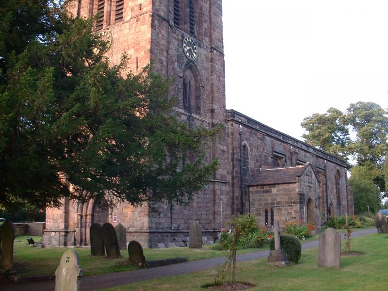
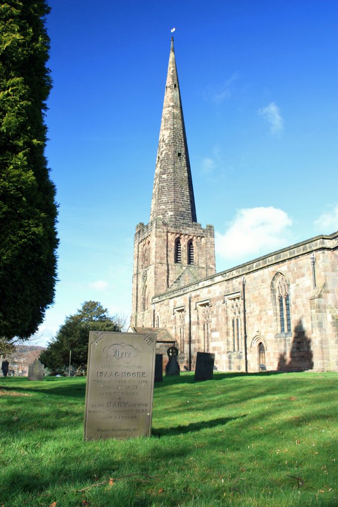
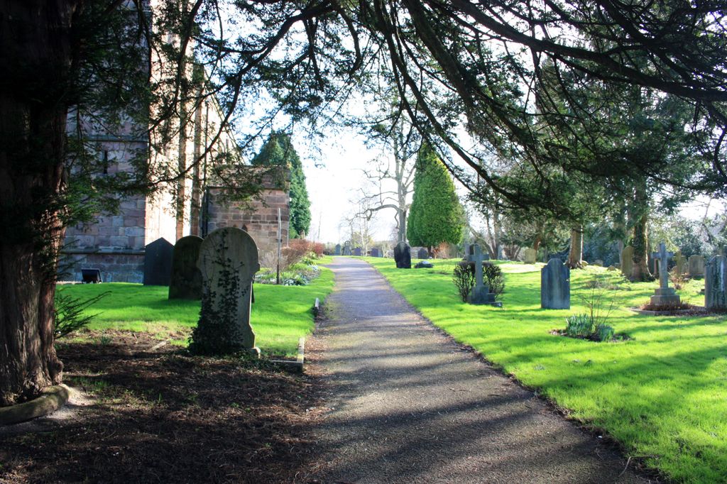
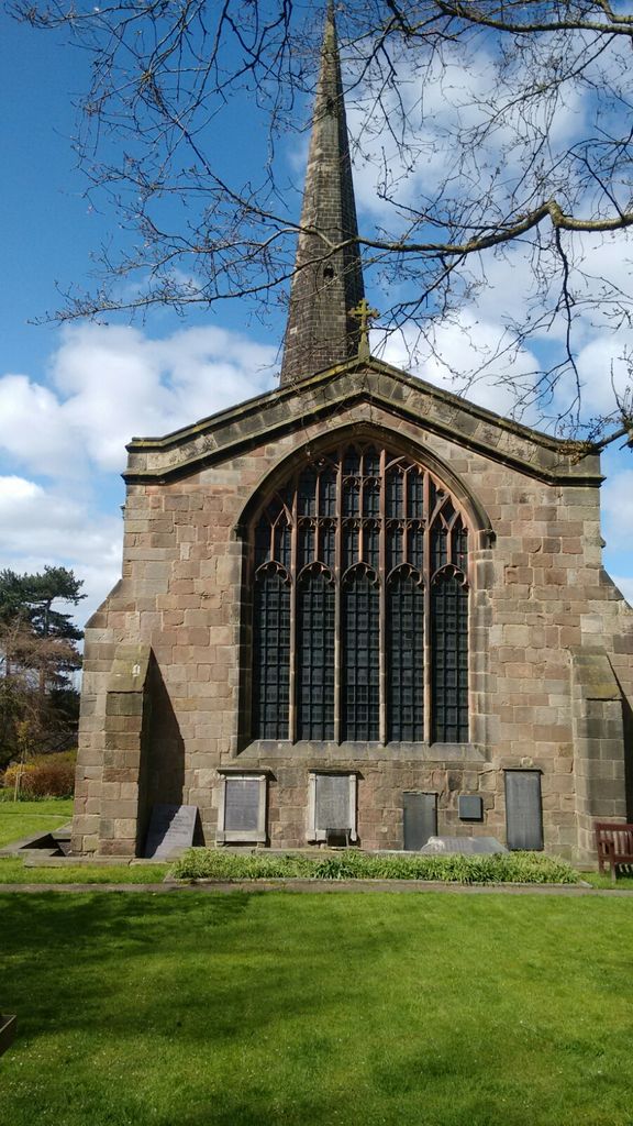
| Location | : | Breadsall, Erewash Borough, England |
| Coordinate | : | 52.9541194, -1.4485645 |
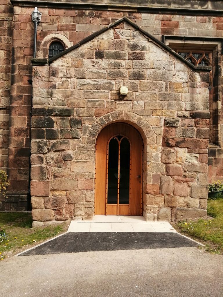
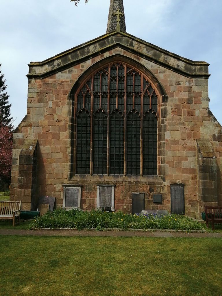
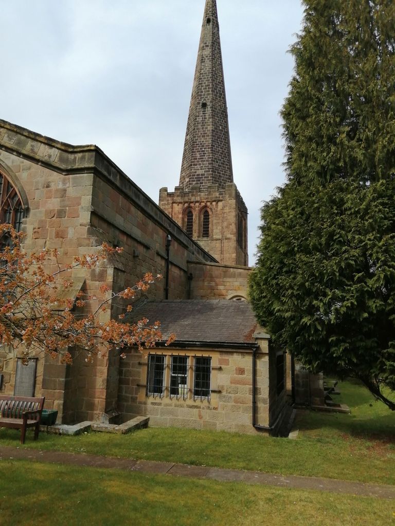
| Description | : | The Domesday survey of 1087 calls the parish "Braidshale" and mentions the presence of a church with priest and a mill worth 13s. 4d. The present building has undergone many changes over the years, but substantial portions of its very varied past still exist. The oldest section is in the South door area which probably dates from about 1150. The door archway is of typical Norman style, where traces of carving remain - in particular a tree and a cock reminding Christians of Adam's fall and Peter's denial. The size and quality of the doorway would seem to indicate that... Read More |
frequently asked questions (FAQ):
-
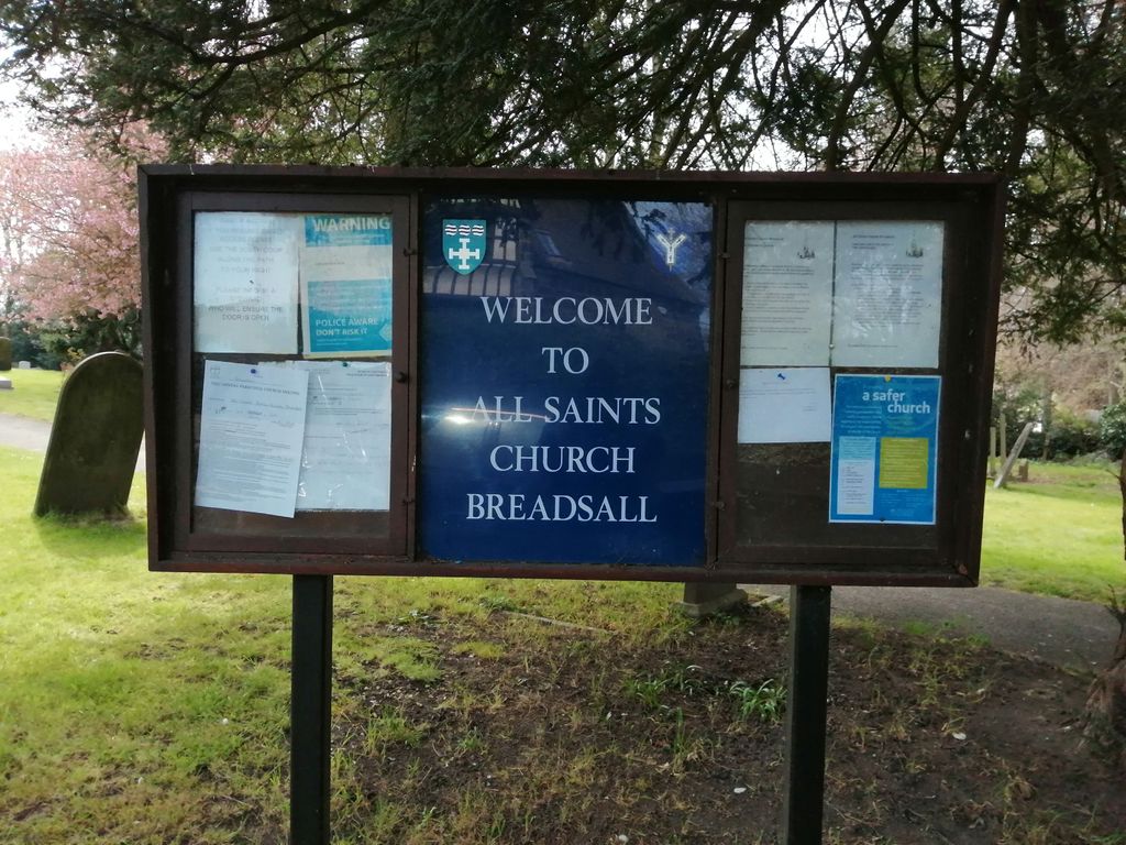
Where is All Saints Churchyard?
All Saints Churchyard is located at Moor Road Breadsall, Erewash Borough ,Derbyshire , DE215LDEngland.
-
All Saints Churchyard cemetery's updated grave count on graveviews.com?
0 memorials
-
Where are the coordinates of the All Saints Churchyard?
Latitude: 52.9541194
Longitude: -1.4485645
Nearby Cemetories:
1. St. Paul Churchyard
Little Eaton, Erewash Borough, England
Coordinate: 52.9696850, -1.4635400
2. St Matthew Churchyard
Darley Abbey, Derby Unitary Authority, England
Coordinate: 52.9447240, -1.4793920
3. St Edmund Churchyard
Allestree, Derby Unitary Authority, England
Coordinate: 52.9536510, -1.4835460
4. Chaddesden Cemetery
Chaddesden, Derby Unitary Authority, England
Coordinate: 52.9266230, -1.4476160
5. St. Mary's Parish Church Cemetery
Derby Unitary Authority, England
Coordinate: 52.9281277, -1.4335680
6. St Mary Churchyard
Chaddesden, Derby Unitary Authority, England
Coordinate: 52.9280661, -1.4333033
7. Nottingham Road Cemetery
Chaddesden, Derby Unitary Authority, England
Coordinate: 52.9262520, -1.4472770
8. St. Alkmund's Churchyard
Derby, Derby Unitary Authority, England
Coordinate: 52.9281428, -1.4784725
9. St. Alkmund Churchyard
Duffield, Amber Valley Borough, England
Coordinate: 52.9810800, -1.4809500
10. Derby Cathedral
Derby, Derby Unitary Authority, England
Coordinate: 52.9248070, -1.4771920
11. St Paul Churchyard
Quarndon, Amber Valley Borough, England
Coordinate: 52.9654710, -1.5027530
12. Old Chapel
Quarndon, Amber Valley Borough, England
Coordinate: 52.9575000, -1.5063000
13. Duffield Evangelical Baptist Church Cemetery
Duffield, Amber Valley Borough, England
Coordinate: 52.9819754, -1.4866865
14. Friar Gate Unitarian Chapel Chapelyard
Derby, Derby Unitary Authority, England
Coordinate: 52.9234250, -1.4840970
15. Saint Werburgh
Spondon, Derby Unitary Authority, England
Coordinate: 52.9192500, -1.4094400
16. St. Clement's Churchyard
Horsley, Amber Valley Borough, England
Coordinate: 52.9965090, -1.4420520
17. St. Andrew's Churchyard
Stanley, Erewash Borough, England
Coordinate: 52.9594760, -1.3772680
18. Uttoxeter Road Cemetery
Derby, Derby Unitary Authority, England
Coordinate: 52.9194000, -1.4938100
19. All Saints Churchyard
Stanley Common, Erewash Borough, England
Coordinate: 52.9770772, -1.3834721
20. Markeaton Crematorium
Derby, Derby Unitary Authority, England
Coordinate: 52.9338110, -1.5172230
21. Duffield Cemetery
Duffield, Amber Valley Borough, England
Coordinate: 52.9929640, -1.4947860
22. All Saints Churchyard
Mackworth, Amber Valley Borough, England
Coordinate: 52.9362637, -1.5249797
23. St. John the Baptist Churchyard
Smalley, Amber Valley Borough, England
Coordinate: 52.9930300, -1.3961360
24. All Saints Churchyard
Kedleston, Amber Valley Borough, England
Coordinate: 52.9592000, -1.5367000