
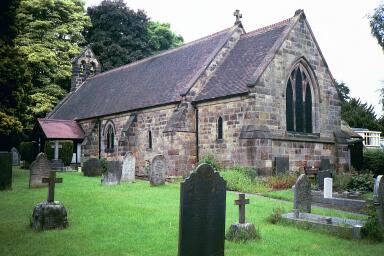
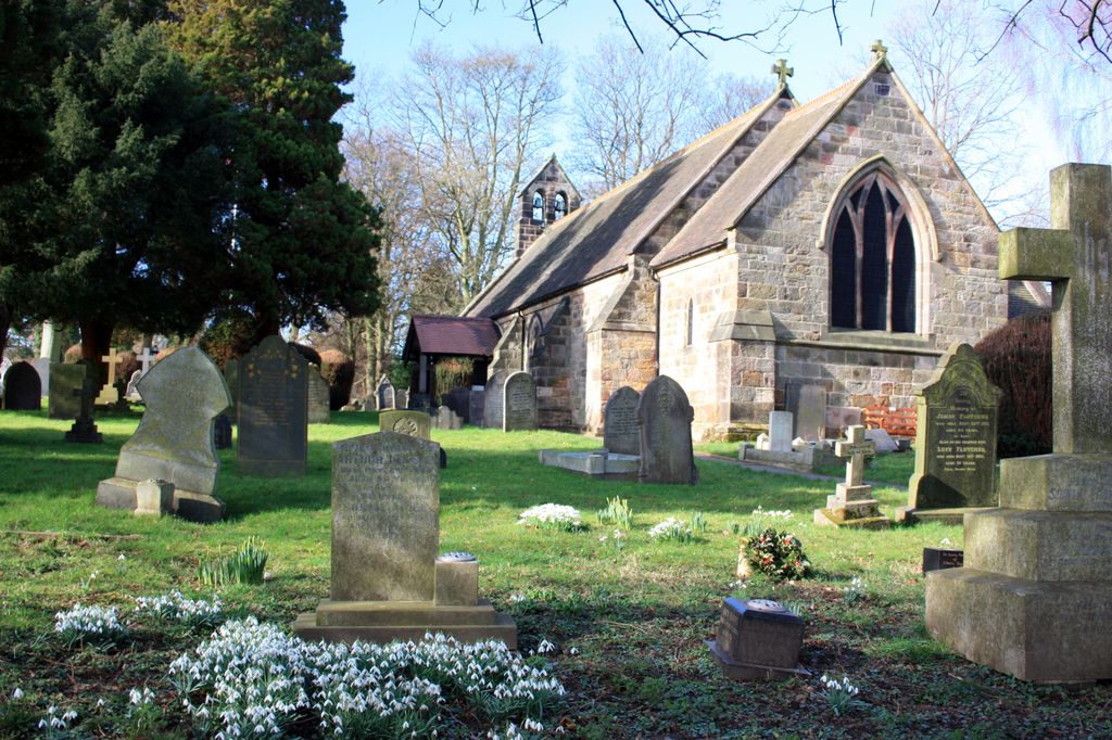
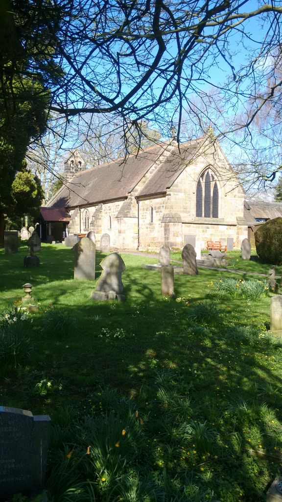
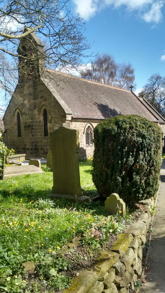
| Memorials | : | 0 |
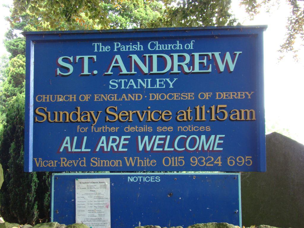
| Location | : | Stanley, Erewash Borough, England |
| Coordinate | : | 52.9594760, -1.3772680 |
frequently asked questions (FAQ):
-
Where is St. Andrew's Churchyard?
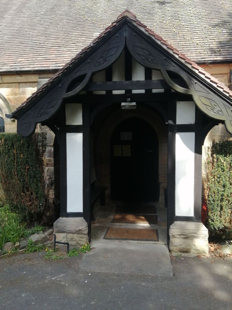
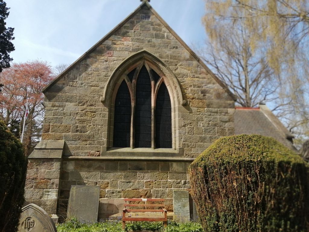
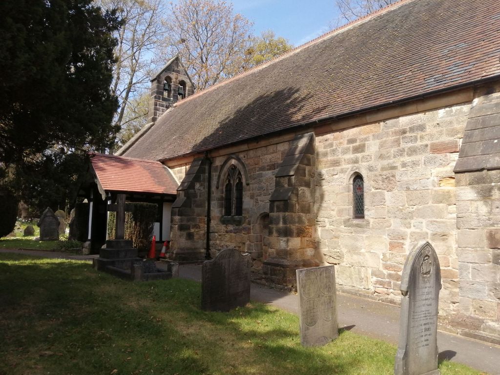
St. Andrew's Churchyard is located at Station Road Stanley, Erewash Borough ,Derbyshire , DE7 6FBEngland.
-
St. Andrew's Churchyard cemetery's updated grave count on graveviews.com?
0 memorials
-
Where are the coordinates of the St. Andrew's Churchyard?
Latitude: 52.9594760
Longitude: -1.3772680
Nearby Cemetories:
1. St. Wilfrid Churchyard
West Hallam, Erewash Borough, England
Coordinate: 52.9656640, -1.3579720
2. All Saints Churchyard
Stanley Common, Erewash Borough, England
Coordinate: 52.9770772, -1.3834721
3. Holy Trinity Churchyard
Mapperley, Amber Valley Borough, England
Coordinate: 52.9818800, -1.3536800
4. All Saints
Kirk Hallam, Erewash Borough, England
Coordinate: 52.9602950, -1.3188150
5. St. John the Baptist Churchyard
Smalley, Amber Valley Borough, England
Coordinate: 52.9930300, -1.3961360
6. Ockbrook Moravian Burial Ground
Ockbrook, Erewash Borough, England
Coordinate: 52.9215600, -1.3755740
7. Smalley Baptist Churchyard
Smalley, Amber Valley Borough, England
Coordinate: 52.9968520, -1.3947580
8. Ilkeston Stanton Road
Ilkeston, Erewash Borough, England
Coordinate: 52.9645800, -1.3077120
9. All Saints Churchyard
Ockbrook, Erewash Borough, England
Coordinate: 52.9170770, -1.3713030
10. All Saints Churchyard
Breadsall, Erewash Borough, England
Coordinate: 52.9541194, -1.4485645
11. Saint Werburgh
Spondon, Derby Unitary Authority, England
Coordinate: 52.9192500, -1.4094400
12. St Mary Churchyard
Chaddesden, Derby Unitary Authority, England
Coordinate: 52.9280661, -1.4333033
13. St. Mary's Parish Church Cemetery
Derby Unitary Authority, England
Coordinate: 52.9281277, -1.4335680
14. Park Cemetery
Ilkeston, Erewash Borough, England
Coordinate: 52.9714000, -1.3006350
15. Marlpool Municipal Cemetery
Heanor, Amber Valley Borough, England
Coordinate: 53.0082110, -1.3490550
16. St. Paul Churchyard
Little Eaton, Erewash Borough, England
Coordinate: 52.9696850, -1.4635400
17. Methodist Cemetery
Borrowash, Erewash Borough, England
Coordinate: 52.9064496, -1.3784038
18. Chaddesden Cemetery
Chaddesden, Derby Unitary Authority, England
Coordinate: 52.9266230, -1.4476160
19. Nottingham Road Cemetery
Chaddesden, Derby Unitary Authority, England
Coordinate: 52.9262520, -1.4472770
20. St. Clement's Churchyard
Horsley, Amber Valley Borough, England
Coordinate: 52.9965090, -1.4420520
21. All Saints Risley Churchyard
Risley, Erewash Borough, England
Coordinate: 52.9164000, -1.3158000
22. St Mary the Virgin Churchyard
Denby, Amber Valley Borough, England
Coordinate: 53.0142300, -1.4065600
23. St. Helen's Churchyard
Trowell, Broxtowe Borough, England
Coordinate: 52.9528120, -1.2815590
24. St Matthew Churchyard
Darley Abbey, Derby Unitary Authority, England
Coordinate: 52.9447240, -1.4793920