
| Memorials | : | 0 |
| Location | : | Witham, Braintree District, England |
| Coordinate | : | 51.7999800, 0.6370700 |
| Description | : | Witham is in the south east of England It is part of the District of Braintree Witham stands between the larger towns of Chelmsford (7 miles to the south-west) and Colchester (15 miles to the north-east). The River Brain runs through the town and joins the River Blackwater shortly outside it. Witham railway station was the scene of a serious accident on Saturday 1st September 1905. |
frequently asked questions (FAQ):
-
Where is All Saints Churchyard?
All Saints Churchyard is located at Church Road Witham, Braintree District ,Essex ,England.
-
All Saints Churchyard cemetery's updated grave count on graveviews.com?
0 memorials
-
Where are the coordinates of the All Saints Churchyard?
Latitude: 51.7999800
Longitude: 0.6370700
Nearby Cemetories:
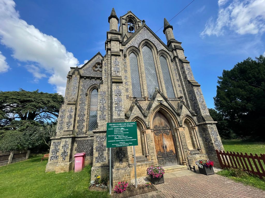
1. Holy Family Roman Catholic Churchyard
Witham, Braintree District, England
Coordinate: 51.8033400, 0.6448000
2. St Nicolas Churchyard
Witham, Braintree District, England
Coordinate: 51.8074500, 0.6346500
3. Witham Cemetery
Witham, Braintree District, England
Coordinate: 51.8118520, 0.6421210
4. St Bartholomew Churchyard
Wickham Bishops, Maldon District, England
Coordinate: 51.7770750, 0.6617010
5. All Saints Churchyard
Great Braxted, Maldon District, England
Coordinate: 51.8068900, 0.6833840
6. St. Mary and All Saints Churchyard
Rivenhall, Braintree District, England
Coordinate: 51.8288260, 0.6514254
7. St Peter Churchyard
Wickham Bishops, Maldon District, England
Coordinate: 51.7697790, 0.6434300
8. St. Mary the Virgin Churchyard
Ivinghoe, Aylesbury Vale District, England
Coordinate: 51.8359001, 0.6288235
9. The New Burial Ground
Hatfield Peverel, Braintree District, England
Coordinate: 51.7689669, 0.6054055
10. St. Andrew's Churchyard
Hatfield Peverel, Braintree District, England
Coordinate: 51.7689790, 0.6029260
11. All Saints Churchyard
Terling, Braintree District, England
Coordinate: 51.8037990, 0.5704090
12. Terling Chapel-URC
Terling, Braintree District, England
Coordinate: 51.8043160, 0.5694650
13. Terling Church Cemetery
Terling, Braintree District, England
Coordinate: 51.8057490, 0.5684140
14. St. Etheldreda Churchyard
White Notley, Braintree District, England
Coordinate: 51.8342000, 0.5898820
15. Great Totham United Reform Church
Great Totham, Maldon District, England
Coordinate: 51.7842880, 0.7078990
16. St Peters, Great Totham
Great Totham, Maldon District, England
Coordinate: 51.7669400, 0.6970552
17. St. Giles Churchyard
Langford, Maldon District, England
Coordinate: 51.7497390, 0.6608750
18. All Saints Churchyard
Ulting, Maldon District, England
Coordinate: 51.7486840, 0.6080090
19. United Reformed Churchyard
Kelvedon, Braintree District, England
Coordinate: 51.8391991, 0.7032000
20. All Saints Churchyard
Cressing, Braintree District, England
Coordinate: 51.8536090, 0.6040380
21. All Saints Churchyard
Inworth, Colchester Borough, England
Coordinate: 51.8276200, 0.7257200
22. Beeleigh Abbey
Maldon, Maldon District, England
Coordinate: 51.7379950, 0.6635760
23. St Andrew Churchyard
Heybridge, Maldon District, England
Coordinate: 51.7406930, 0.6861900
24. Heybridge Cemetery
Heybridge, Maldon District, England
Coordinate: 51.7394740, 0.6922890