
| Memorials | : | 28 |
| Location | : | Ulting, Maldon District, England |
| Coordinate | : | 51.7486840, 0.6080090 |
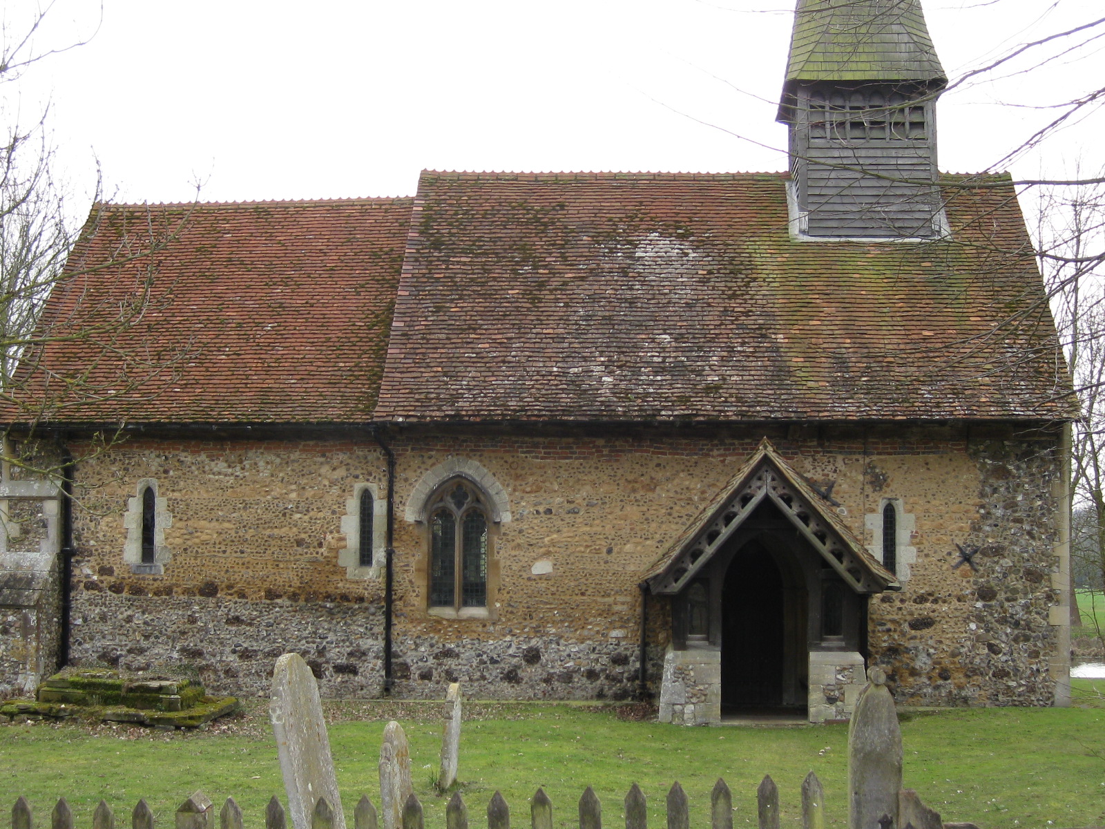
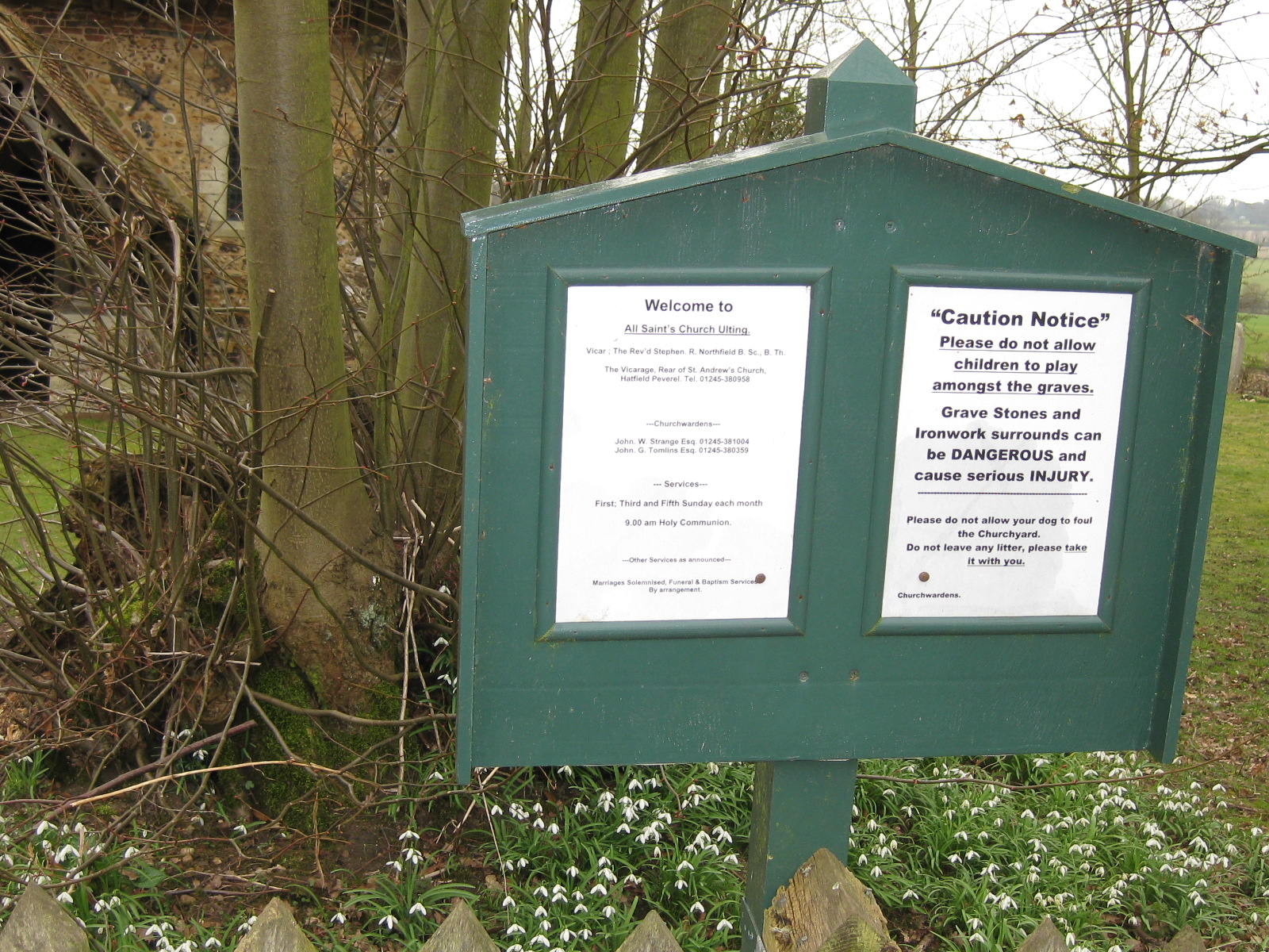
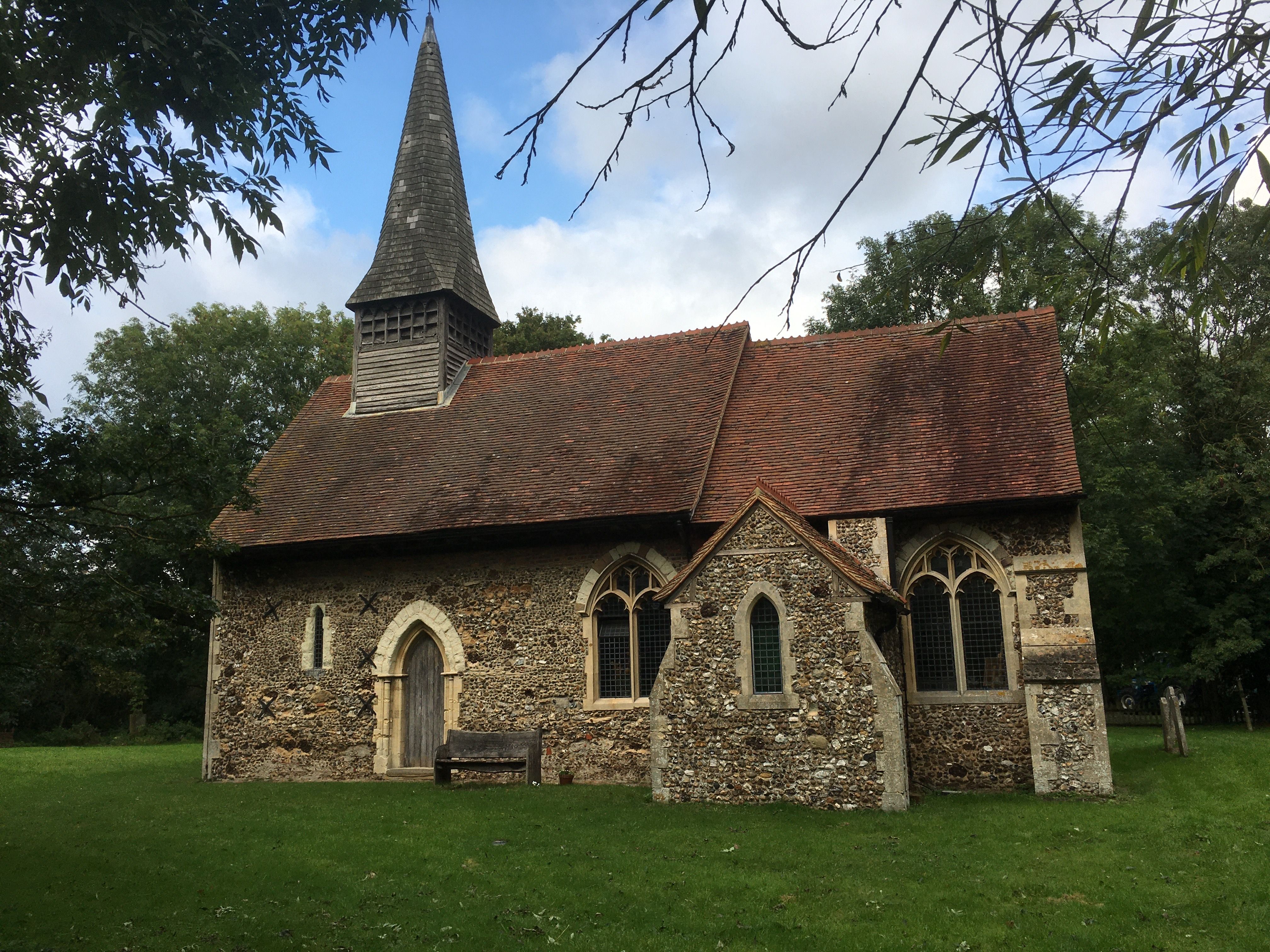
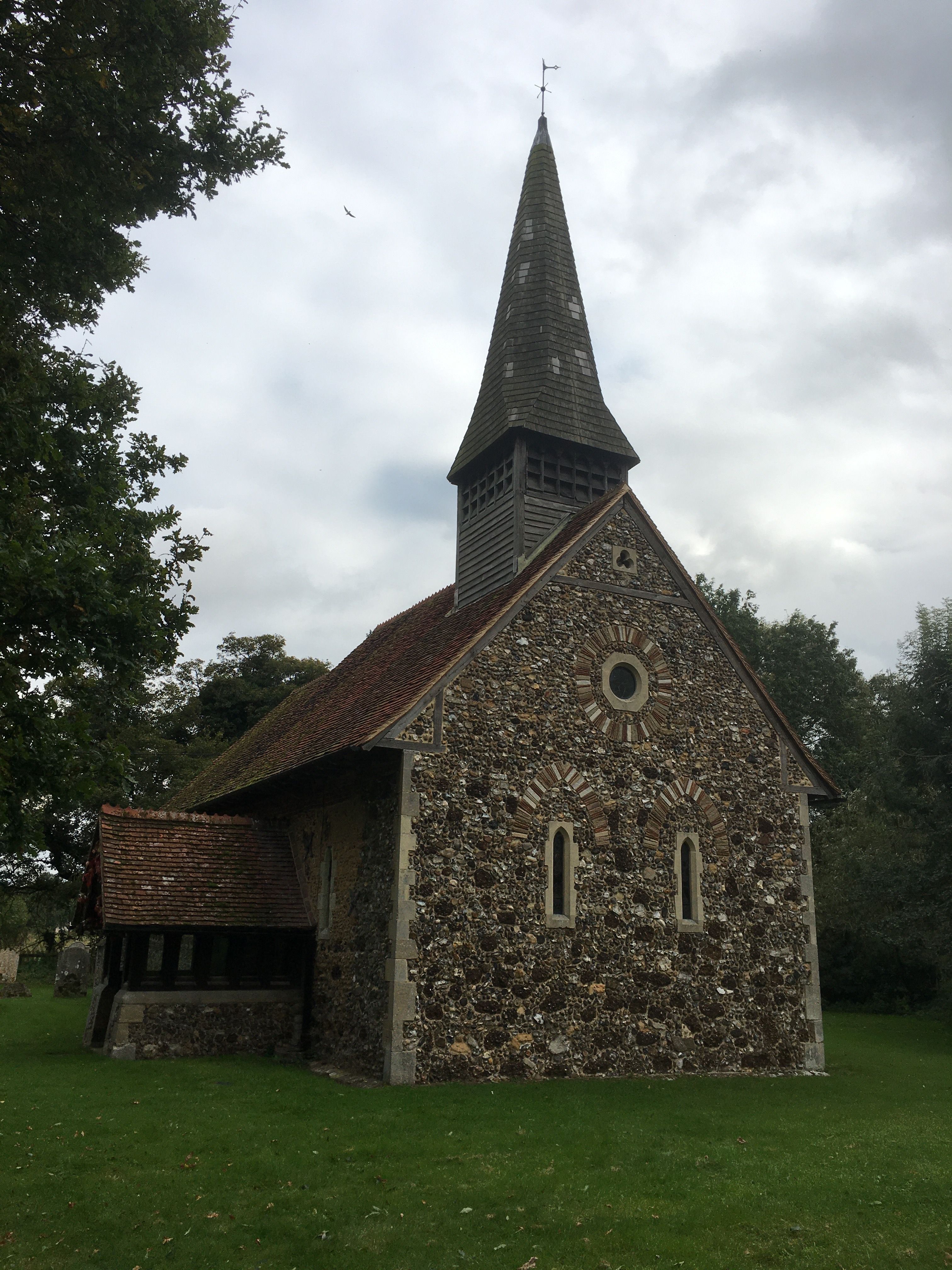
| Description | : | Ulting is a small village and parish of scattered houses, 4 miles South by West of Witham, and 8 miles East by North of Chelmsford. It is located in the remote countryside of the county of Essex, England. It shares its borders with Langford and Nounsley, and is part of Maldon.Ulting was the location of the first sugar beet factory in England, although its useful life was cut short by cheap imports of cane sugar.The village church, All Saints, has been standing since 1150, with a major restoration taking place in the 1870s. It stands on a gentle slope,... Read More |
frequently asked questions (FAQ):
-
Where is All Saints Churchyard?
All Saints Churchyard is located at Ulting, Maldon District ,Essex ,England.
-
All Saints Churchyard cemetery's updated grave count on graveviews.com?
28 memorials
-
Where are the coordinates of the All Saints Churchyard?
Latitude: 51.7486840
Longitude: 0.6080090
Nearby Cemetories:
1. St Michael the Archangel Churchyard
Woodham Walter, Maldon District, England
Coordinate: 51.7298940, 0.6180380
2. The New Burial Ground
Hatfield Peverel, Braintree District, England
Coordinate: 51.7689669, 0.6054055
3. St. Andrew's Churchyard
Hatfield Peverel, Braintree District, England
Coordinate: 51.7689790, 0.6029260
4. St Peter Churchyard
Wickham Bishops, Maldon District, England
Coordinate: 51.7697790, 0.6434300
5. St. Giles Churchyard
Langford, Maldon District, England
Coordinate: 51.7497390, 0.6608750
6. St Mary the Virgin Churchyard
Little Baddow, Chelmsford Borough, England
Coordinate: 51.7434990, 0.5542190
7. Beeleigh Abbey
Maldon, Maldon District, England
Coordinate: 51.7379950, 0.6635760
8. St Margaret Churchyard
Woodham Mortimer, Maldon District, England
Coordinate: 51.7161950, 0.6374270
9. Maldon Cemetery
Maldon, Maldon District, England
Coordinate: 51.7320550, 0.6623930
10. St John the Baptist Churchyard
Danbury, Chelmsford Borough, England
Coordinate: 51.7165420, 0.5742650
11. St Andrew's Churchyard Extension
Boreham, Chelmsford Borough, England
Coordinate: 51.7576920, 0.5432010
12. St Bartholomew Churchyard
Wickham Bishops, Maldon District, England
Coordinate: 51.7770750, 0.6617010
13. All Saints with St Peter Churchyard
Maldon, Maldon District, England
Coordinate: 51.7318230, 0.6765510
14. Saint Peter's Churchyard
Maldon, Maldon District, England
Coordinate: 51.7315129, 0.6785958
15. St Andrew Churchyard
Heybridge, Maldon District, England
Coordinate: 51.7406930, 0.6861900
16. St Mary the Virgin Churchyard
Maldon, Maldon District, England
Coordinate: 51.7289423, 0.6871197
17. Heybridge Cemetery
Heybridge, Maldon District, England
Coordinate: 51.7394740, 0.6922890
18. St. Nicholas Churchyard
Hazeleigh, Maldon District, England
Coordinate: 51.7031260, 0.6555708
19. All Saints Churchyard
Witham, Braintree District, England
Coordinate: 51.7999800, 0.6370700
20. St Peters, Great Totham
Great Totham, Maldon District, England
Coordinate: 51.7669400, 0.6970552
21. Holy Family Roman Catholic Churchyard
Witham, Braintree District, England
Coordinate: 51.8033400, 0.6448000
22. All Saints Churchyard
Terling, Braintree District, England
Coordinate: 51.8037990, 0.5704090
23. Terling Chapel-URC
Terling, Braintree District, England
Coordinate: 51.8043160, 0.5694650
24. St Nicolas Churchyard
Witham, Braintree District, England
Coordinate: 51.8074500, 0.6346500