
| Memorials | : | 4 |
| Location | : | Hollingbourne, Maidstone Borough, England |
| Coordinate | : | 51.2651070, 0.6408540 |
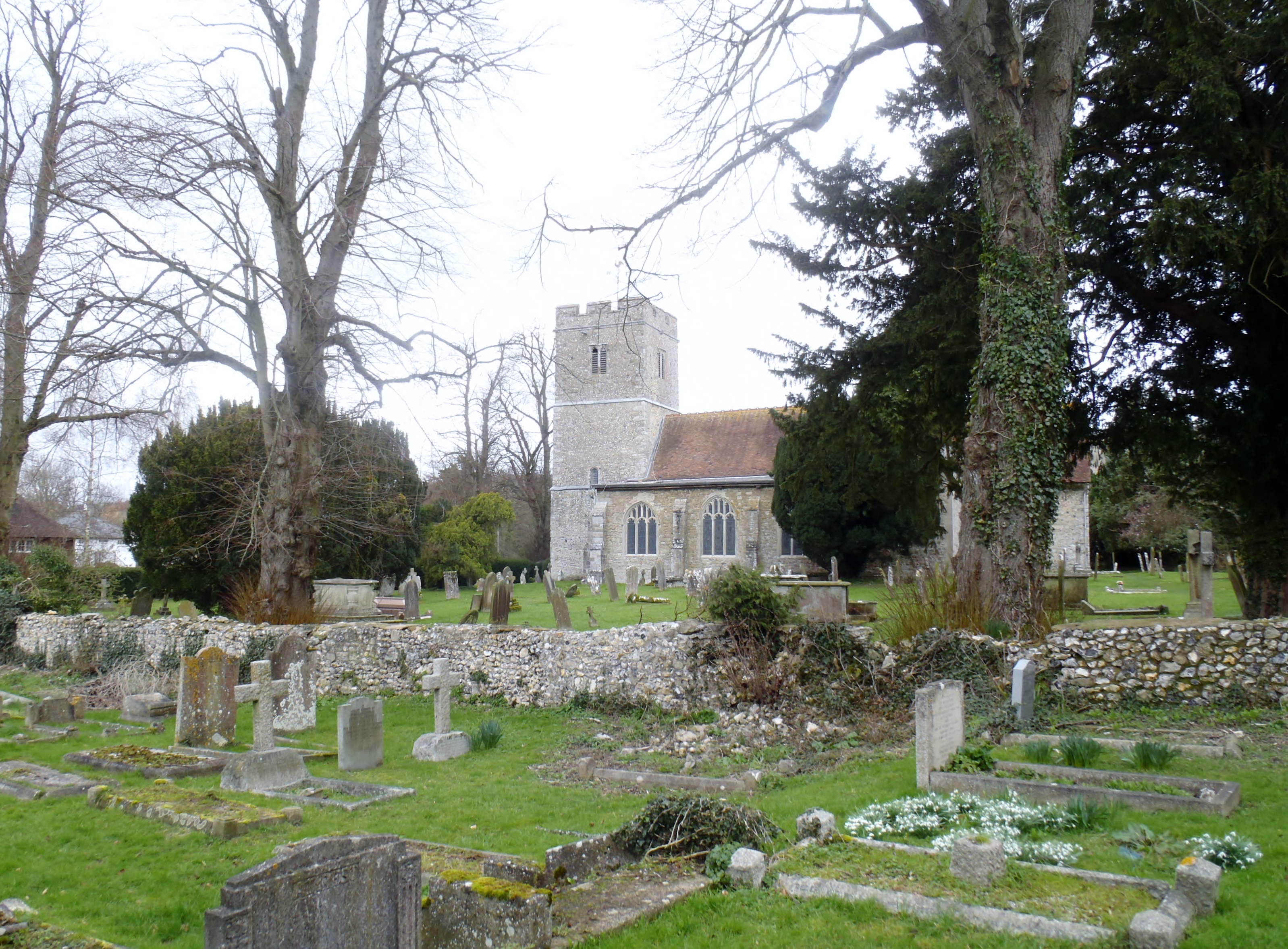
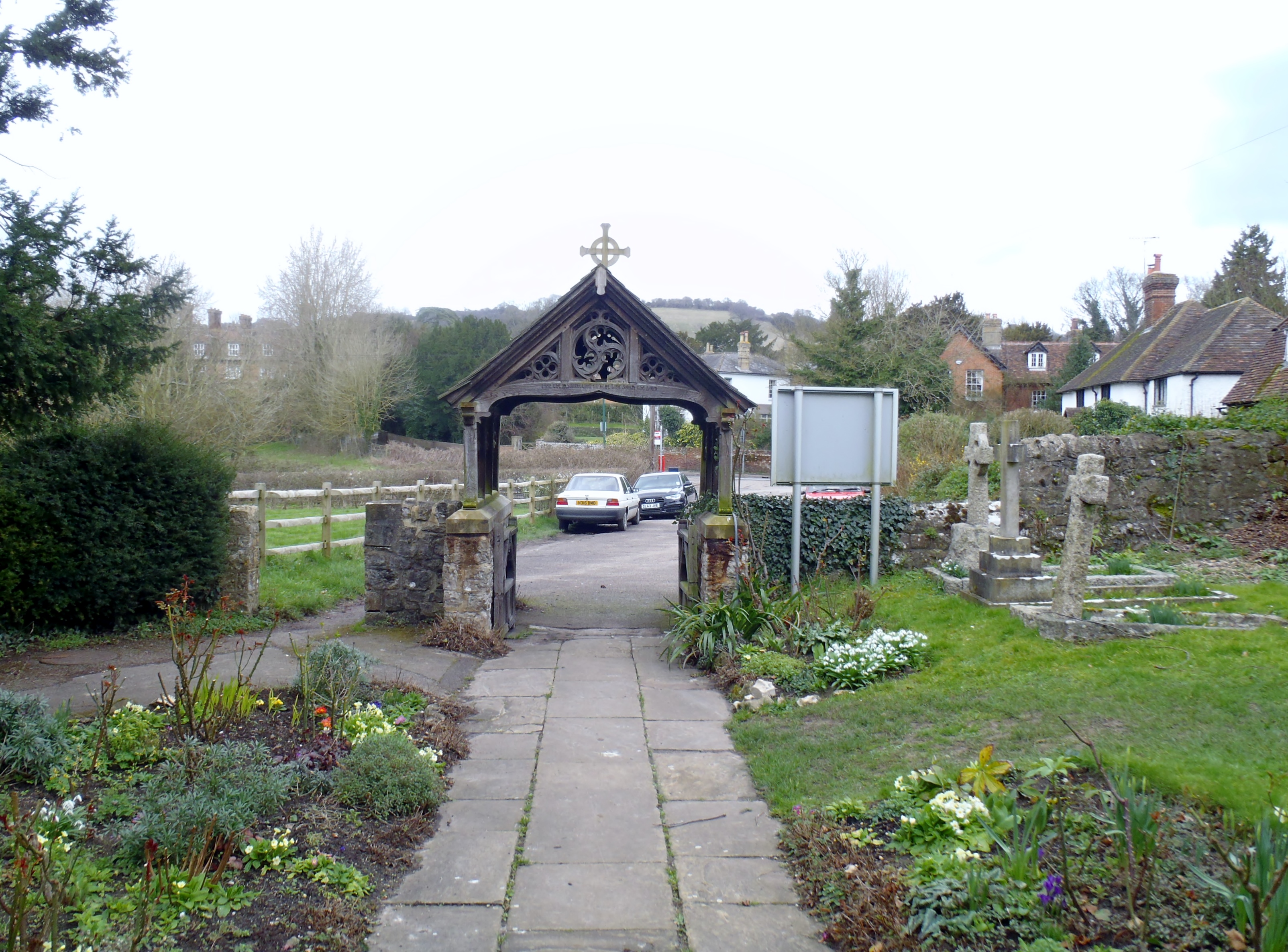
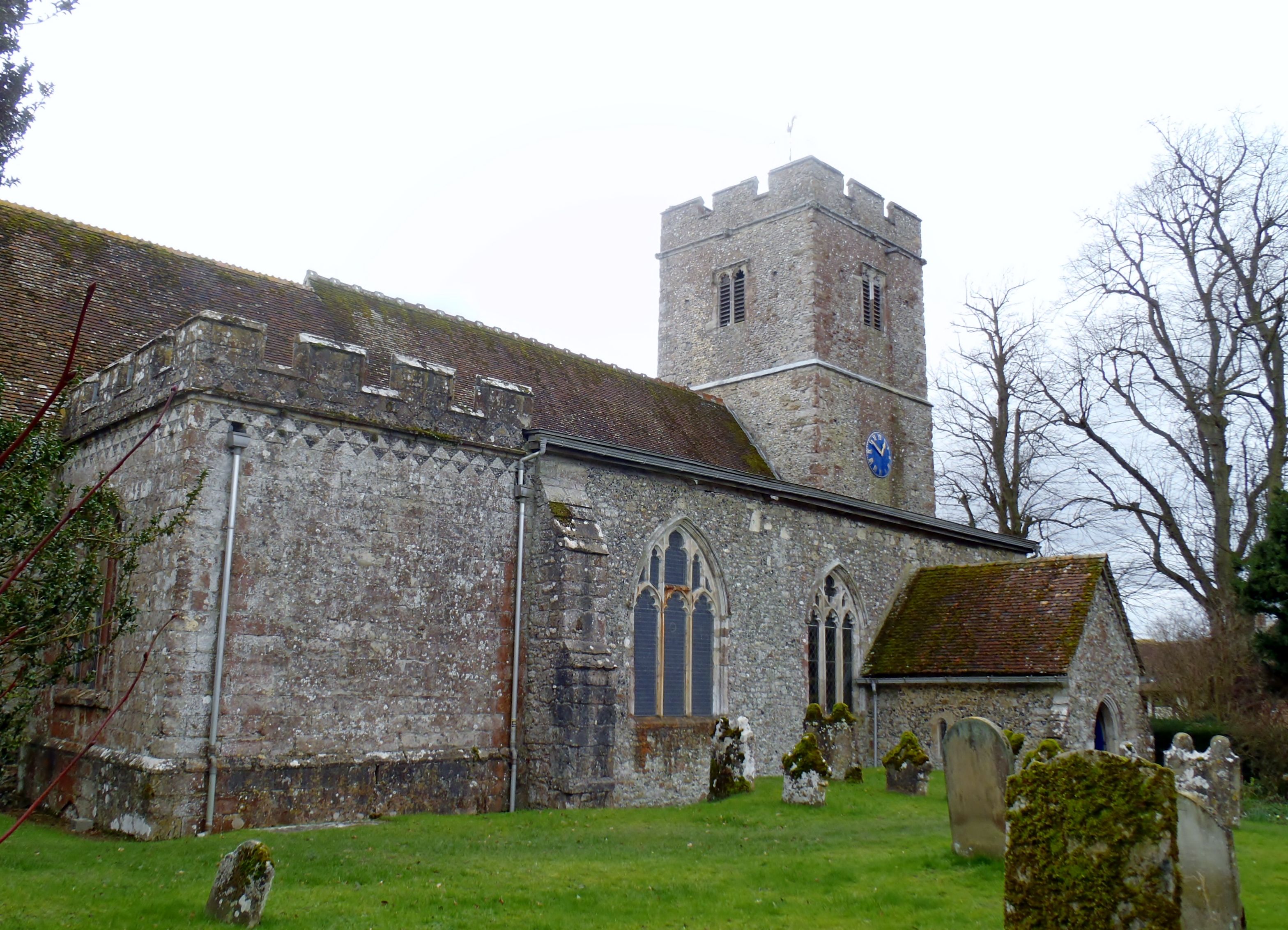
| Description | : | Hollingbourne is a village and civil parish in the Maidstone District of Kent, England. The parish is located near a permanent spring at the foot of the southward slope of the North Downs four miles to the east of the county town, Maidstone. It suffered from the construction of the M20 motorway and the High Speed rail link in recent years both of which run immediately adjacent to the village, the history of which stretches back to the Stone Age. The first recorded mention of the community is in the Domesday Book of 1086 but a church would have... Read More |
frequently asked questions (FAQ):
-
Where is All Saints Churchyard?
All Saints Churchyard is located at Hollingbourne, Maidstone Borough ,Kent ,England.
-
All Saints Churchyard cemetery's updated grave count on graveviews.com?
4 memorials
-
Where are the coordinates of the All Saints Churchyard?
Latitude: 51.2651070
Longitude: 0.6408540
Nearby Cemetories:
1. St. Nicholas Churchyard
Leeds, Maidstone Borough, England
Coordinate: 51.2499008, 0.6141290
2. St. Margaret's Churchyard
Hucking, Maidstone Borough, England
Coordinate: 51.2931686, 0.6468735
3. St. John the Baptist Churchyard
Harrietsham, Maidstone Borough, England
Coordinate: 51.2453990, 0.6847930
4. St. James' Churchyard
Bicknor, Maidstone Borough, England
Coordinate: 51.2980836, 0.6674698
5. St. Giles Churchyard
Wormshill, Maidstone Borough, England
Coordinate: 51.2850660, 0.6971740
6. St Mary the Virgin Church
Thurnham, Maidstone Borough, England
Coordinate: 51.2891730, 0.5858830
7. St Mary's Church
Langley, Maidstone Borough, England
Coordinate: 51.2340870, 0.5847120
8. All Saints Churchyard Extension
Ulcombe, Maidstone Borough, England
Coordinate: 51.2178000, 0.6420200
9. All Saints Churchyard
Ulcombe, Maidstone Borough, England
Coordinate: 51.2171930, 0.6426440
10. St Dunstan Churchyard
Frinsted, Maidstone Borough, England
Coordinate: 51.2843300, 0.7112270
11. St. Peter and St. Paul Churchyard
East Sutton, Maidstone Borough, England
Coordinate: 51.2159000, 0.6159000
12. St. Martin of Tours Churchyard
Detling, Maidstone Borough, England
Coordinate: 51.2943460, 0.5687340
13. St Mary Churchyard
Lenham, Maidstone Borough, England
Coordinate: 51.2366860, 0.7191470
14. Lenham Cemetery
Lenham, Maidstone Borough, England
Coordinate: 51.2389480, 0.7223940
15. St. John the Baptist Churchyard
Bredgar, Swale Borough, England
Coordinate: 51.3109210, 0.6960930
16. Vinters Park Crematorium
Maidstone, Maidstone Borough, England
Coordinate: 51.2833100, 0.5506470
17. Saint Mary Magdalene Churchyard
Stockbury, Maidstone Borough, England
Coordinate: 51.3247700, 0.6488800
18. Sutton Valence War Memorial
Sutton Valence, Maidstone Borough, England
Coordinate: 51.2131810, 0.5911370
19. St. Nicholas' Churchyard
Boughton Malherbe, Maidstone Borough, England
Coordinate: 51.2142160, 0.6935330
20. St Mary the Virgin Churchyard
Sutton Valence, Maidstone Borough, England
Coordinate: 51.2132540, 0.5897170
21. St. Michael's Churchyard
Chart Sutton, Maidstone Borough, England
Coordinate: 51.2154120, 0.5821570
22. St. Mary and the Holy Cross Churchyard
Milstead, Swale Borough, England
Coordinate: 51.2961020, 0.7288260
23. St. Margaret's Churchyard
Wichling, Maidstone Borough, England
Coordinate: 51.2682226, 0.7455862
24. Maidstone Cemetery
Maidstone, Maidstone Borough, England
Coordinate: 51.2554700, 0.5323500