
| Memorials | : | 28 |
| Location | : | Ulcombe, Maidstone Borough, England |
| Coordinate | : | 51.2171930, 0.6426440 |
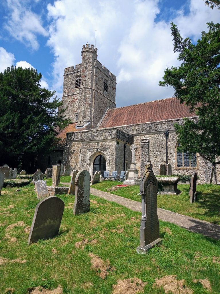
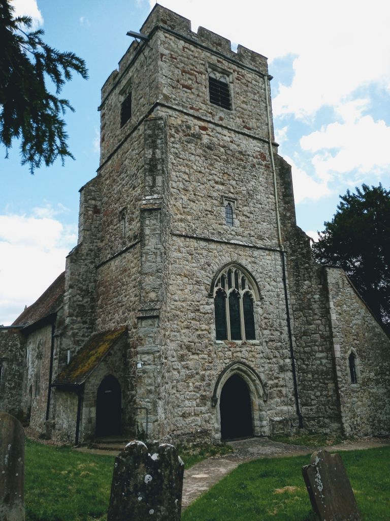
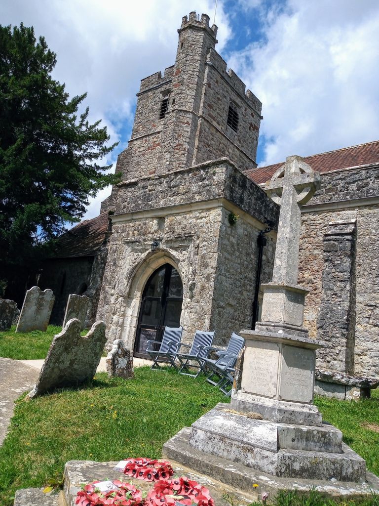
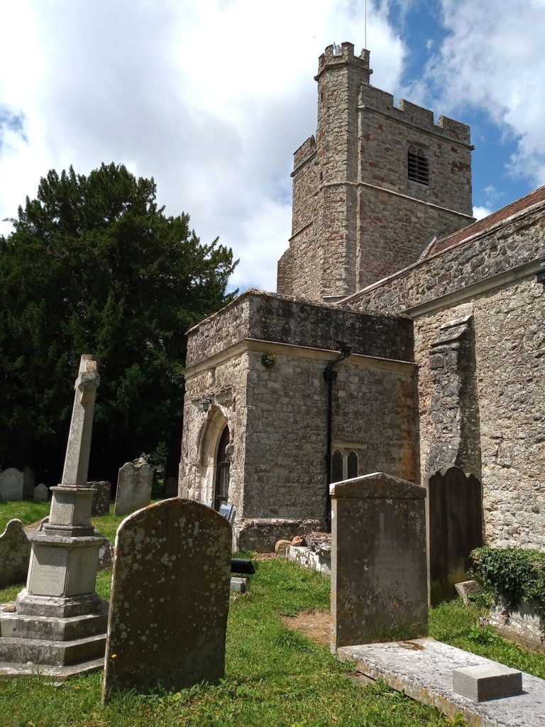
| Description | : | Ulcombe is a village near the town of Maidstone in Kent, England. The name has evolved from 'Owl-coomb', 'coomb' (pronounced 'coo-m') meaning 'a deep little wooded valley; a hollow in a hill side' in Old English. It stands on the Greensand Way. The church is dedicated to All Saints. |
frequently asked questions (FAQ):
-
Where is All Saints Churchyard?
All Saints Churchyard is located at Ulcombe Hill Ulcombe, Maidstone Borough ,Kent , ME17 1DNEngland.
-
All Saints Churchyard cemetery's updated grave count on graveviews.com?
28 memorials
-
Where are the coordinates of the All Saints Churchyard?
Latitude: 51.2171930
Longitude: 0.6426440


Nearby Cemetories:
1. All Saints Churchyard Extension
Ulcombe, Maidstone Borough, England
Coordinate: 51.2178000, 0.6420200
2. St. Peter and St. Paul Churchyard
East Sutton, Maidstone Borough, England
Coordinate: 51.2159000, 0.6159000
3. St. Nicholas' Churchyard
Boughton Malherbe, Maidstone Borough, England
Coordinate: 51.2142160, 0.6935330
4. Sutton Valence War Memorial
Sutton Valence, Maidstone Borough, England
Coordinate: 51.2131810, 0.5911370
5. St Mary the Virgin Churchyard
Sutton Valence, Maidstone Borough, England
Coordinate: 51.2132540, 0.5897170
6. St. Nicholas Churchyard
Leeds, Maidstone Borough, England
Coordinate: 51.2499008, 0.6141290
7. St. Michael's Churchyard
Chart Sutton, Maidstone Borough, England
Coordinate: 51.2154120, 0.5821570
8. St. John the Baptist Churchyard
Harrietsham, Maidstone Borough, England
Coordinate: 51.2453990, 0.6847930
9. St Mary's Church
Langley, Maidstone Borough, England
Coordinate: 51.2340870, 0.5847120
10. All Saints Churchyard
Hollingbourne, Maidstone Borough, England
Coordinate: 51.2651070, 0.6408540
11. Egerton Free Church Graveyard
Egerton, Ashford Borough, England
Coordinate: 51.1871830, 0.7050080
12. Headcorn Baptist Churchyard
Headcorn, Maidstone Borough, England
Coordinate: 51.1674156, 0.6247670
13. Headcorn War Memorial
Headcorn, Maidstone Borough, England
Coordinate: 51.1677480, 0.6212560
14. St. Peter and St. Paul Churchyard
Headcorn, Maidstone Borough, England
Coordinate: 51.1678543, 0.6203760
15. Headcorn Methodist Churchyard
Headcorn, Maidstone Borough, England
Coordinate: 51.1674940, 0.6205670
16. St Mary Churchyard
Lenham, Maidstone Borough, England
Coordinate: 51.2366860, 0.7191470
17. Headcorn Parish Burial Ground
Headcorn, Maidstone Borough, England
Coordinate: 51.1671257, 0.6204750
18. Lenham Cemetery
Lenham, Maidstone Borough, England
Coordinate: 51.2389480, 0.7223940
19. St. James Churchyard
Egerton, Ashford Borough, England
Coordinate: 51.1953860, 0.7295170
20. St. Peter's Churchyard
Boughton Monchelsea, Maidstone Borough, England
Coordinate: 51.2207560, 0.5348660
21. Holy Trinity Churchyard
Charing Heath, Ashford Borough, England
Coordinate: 51.2117420, 0.7510860
22. St. Michael the Archangel Churchyard
Smarden, Ashford Borough, England
Coordinate: 51.1490030, 0.6861940
23. St. Giles Churchyard
Wormshill, Maidstone Borough, England
Coordinate: 51.2850660, 0.6971740
24. St. Margaret's Churchyard
Hucking, Maidstone Borough, England
Coordinate: 51.2931686, 0.6468735