
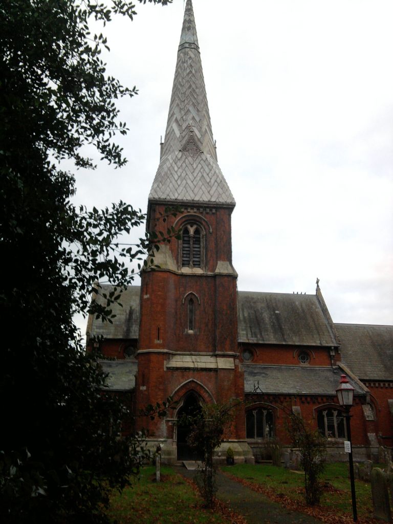
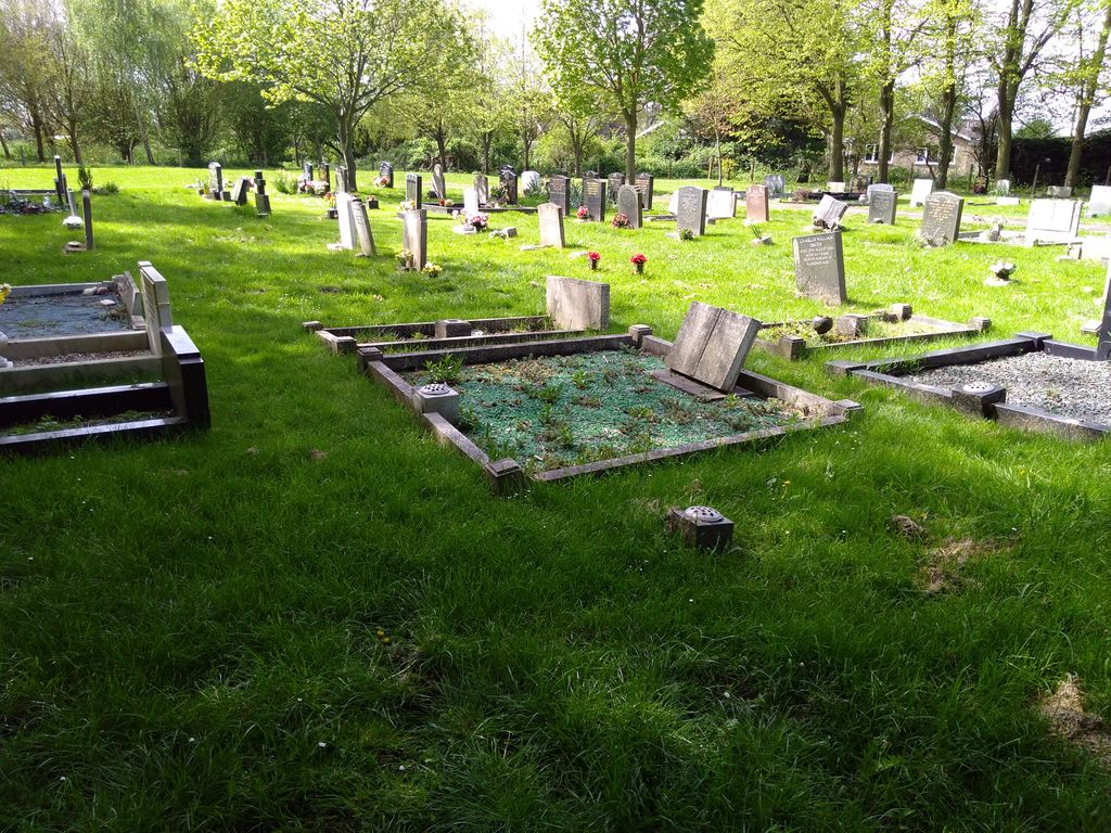
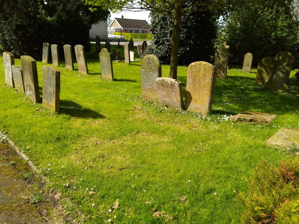
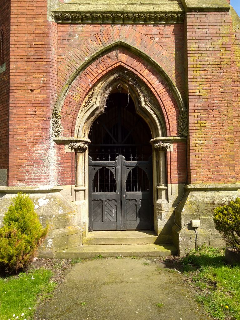
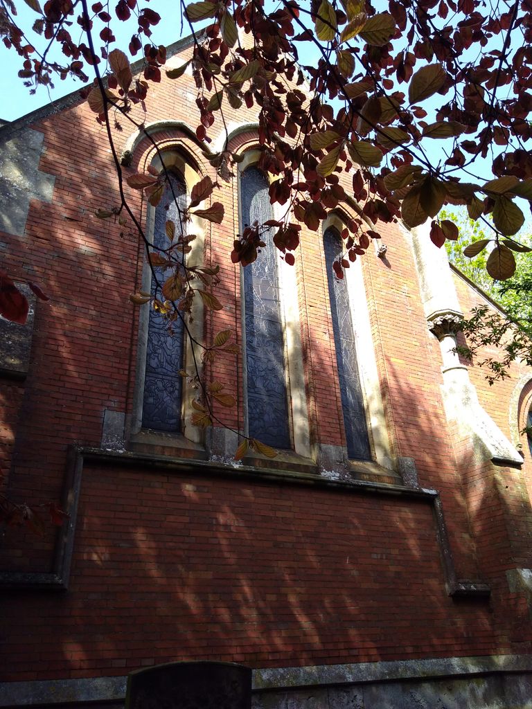
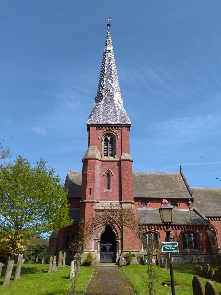
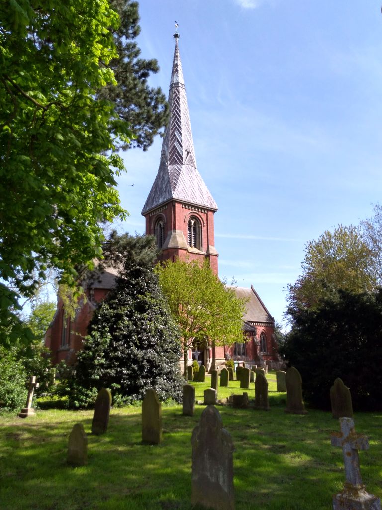
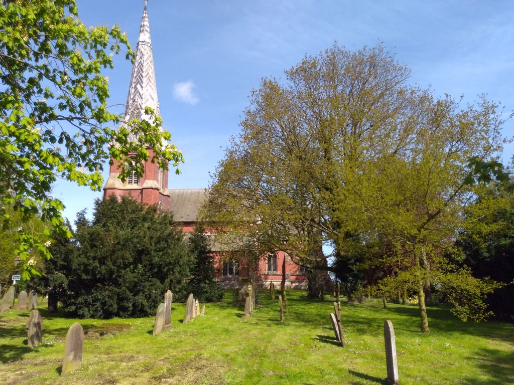
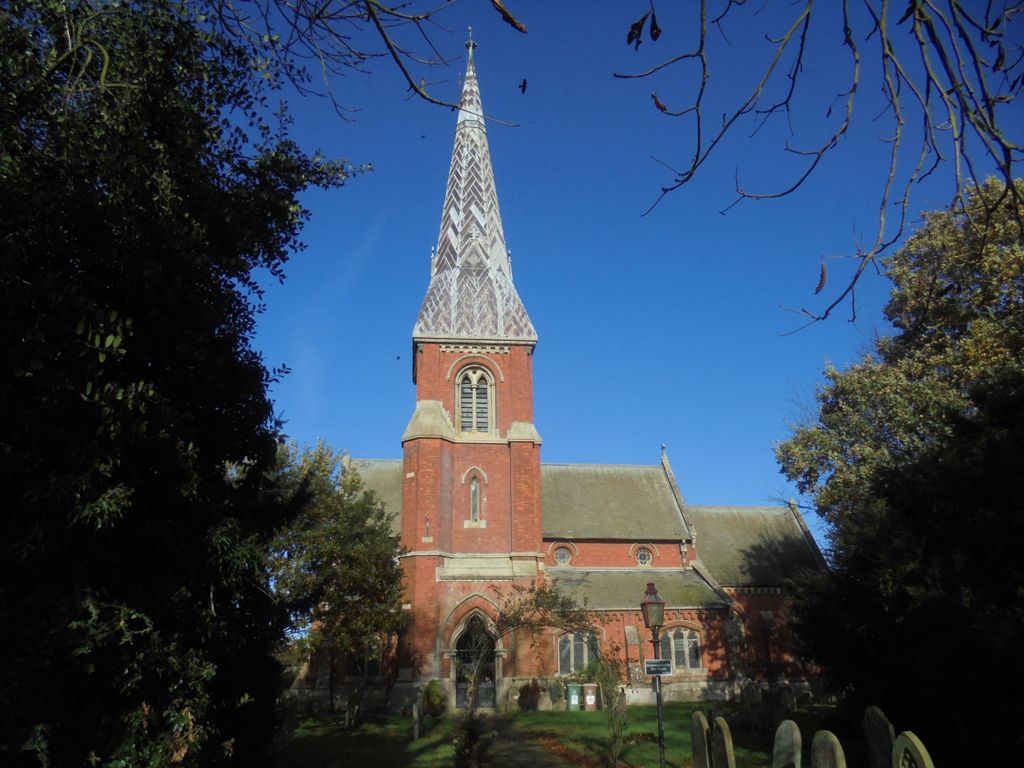
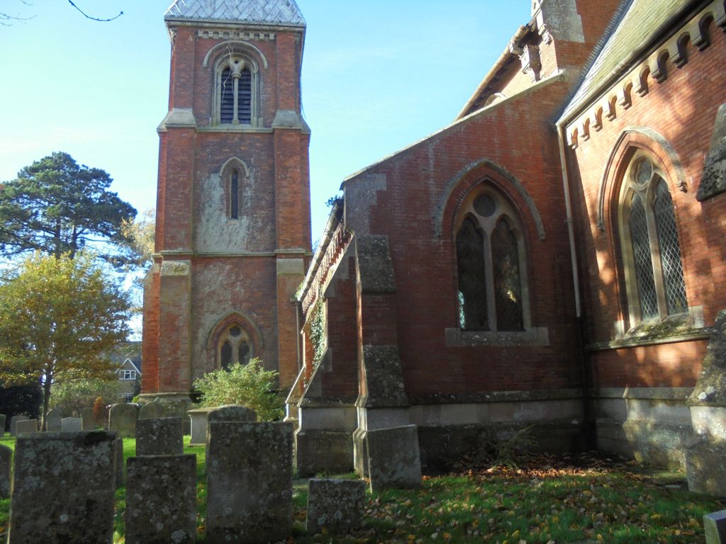
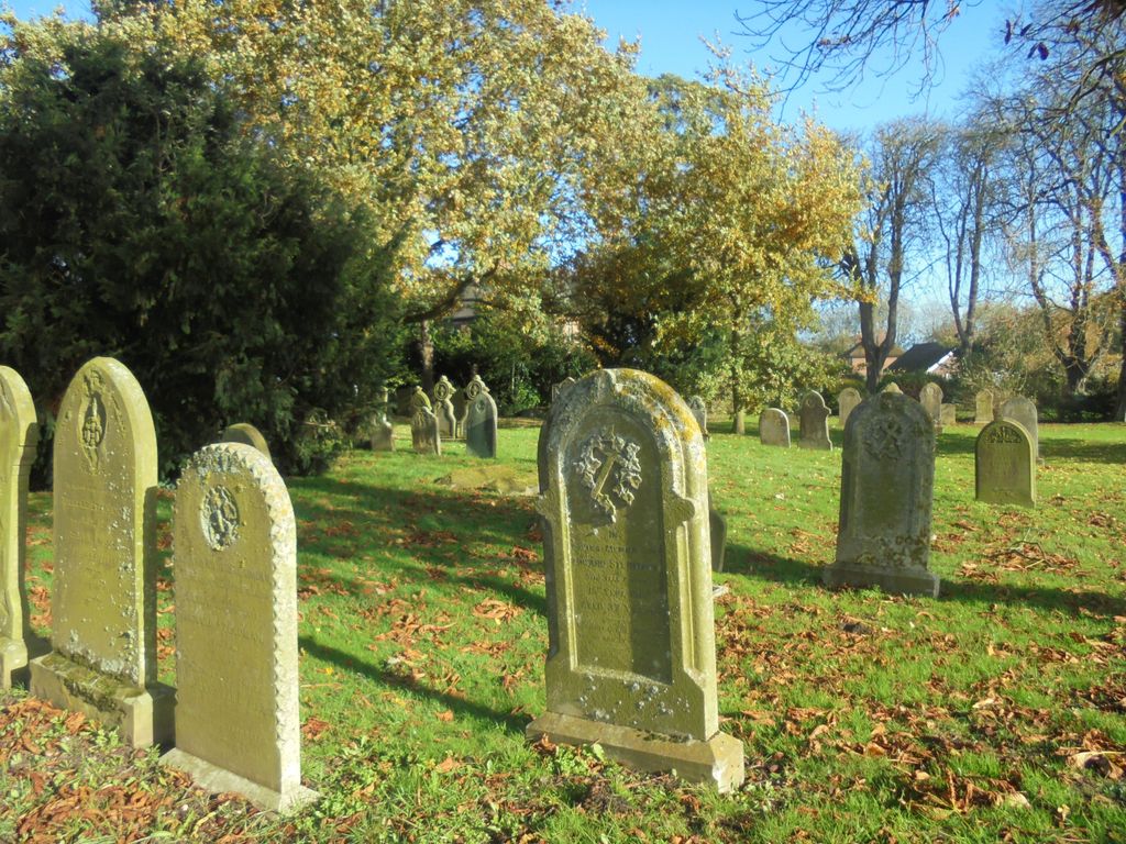
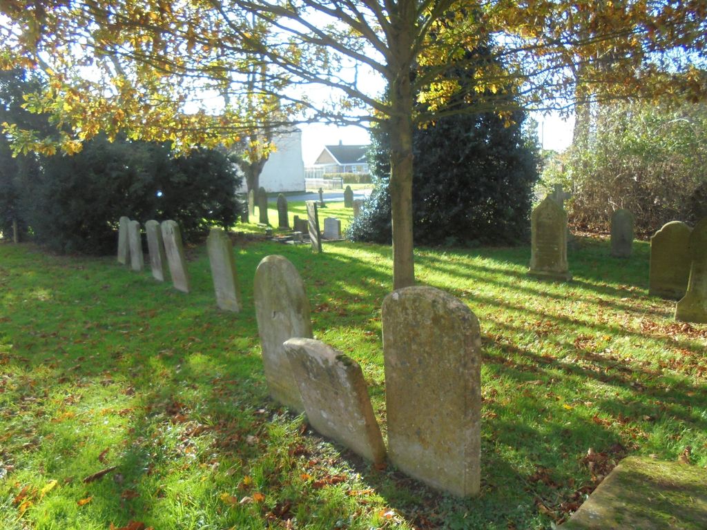
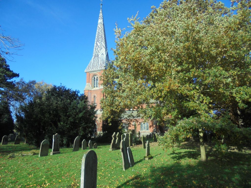
| Memorials | : | 0 |
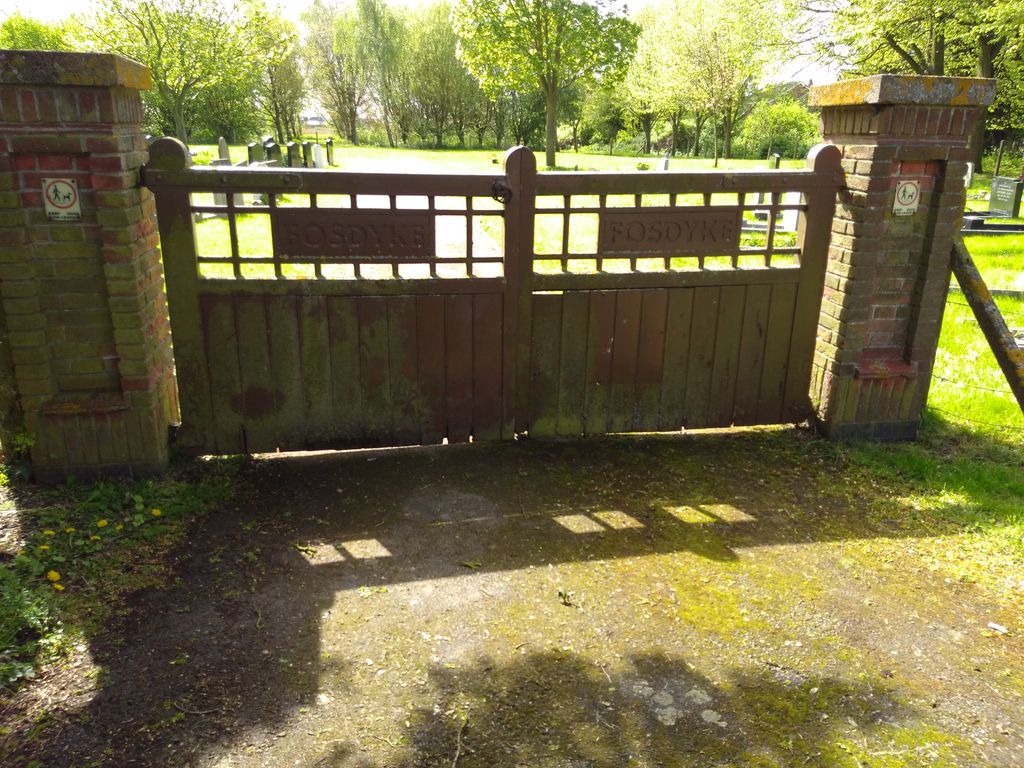
| Location | : | Fosdyke, Boston Borough, England |
| Coordinate | : | 52.8811100, -0.0469440 |
frequently asked questions (FAQ):
-
Where is All Saints Churchyard?
All Saints Churchyard is located at Bell Lane Fosdyke, Boston Borough ,Lincolnshire ,England.
-
All Saints Churchyard cemetery's updated grave count on graveviews.com?
0 memorials
-
Where are the coordinates of the All Saints Churchyard?
Latitude: 52.8811100
Longitude: -0.0469440

Nearby Cemetories:
1. Fosdyke Village Cemetery
Fosdyke, Boston Borough, England
Coordinate: 52.8808330, -0.0447220
2. St. Peter and St. Paul Churchyard
Algarkirk, Boston Borough, England
Coordinate: 52.8995000, -0.0817800
3. Sutterton Village Cemetery
Sutterton, Boston Borough, England
Coordinate: 52.8994440, -0.0900000
4. St. Mary The Virgin Churchyard
Sutterton, Boston Borough, England
Coordinate: 52.9016700, -0.0911111
5. Church of St. Peter and St. Paul
Kirton, Boston Borough, England
Coordinate: 52.9280560, -0.0597220
6. St Mary's Churchyard
Frampton, Boston Borough, England
Coordinate: 52.9335410, -0.0289950
7. St. Peter and St. Paul's Churchyard
Wigtoft, Boston Borough, England
Coordinate: 52.9083330, -0.1236110
8. Kirton in Holland Old Cemetery
Kirton, Boston Borough, England
Coordinate: 52.9352780, -0.0583330
9. Kirton in Holland New Cemetery
Kirton, Boston Borough, England
Coordinate: 52.9361110, -0.0597220
10. Gosberton Baptist Church
Gosberton, South Holland District, England
Coordinate: 52.8651820, -0.1533940
11. St. Leodegar Churchyard
Wyberton, Boston Borough, England
Coordinate: 52.9480560, -0.0236110
12. Wyberton Cemetery
Wyberton, Boston Borough, England
Coordinate: 52.9480560, -0.0225000
13. Surfleet Cemetery
Surfleet, South Holland District, England
Coordinate: 52.8391670, -0.1383330
14. South Lincolnshire Crematorium
Surfleet, South Holland District, England
Coordinate: 52.8451100, -0.1475110
15. St. Peter and St. Paul Churchyard
Gosberton, South Holland District, England
Coordinate: 52.8690870, -0.1629740
16. Gosberton Cemetery
Gosberton, South Holland District, England
Coordinate: 52.8659400, -0.1623000
17. St. Laurence Churchyard
Surfleet, South Holland District, England
Coordinate: 52.8369500, -0.1436110
18. St. Mary's Cemetery
Weston, South Holland District, England
Coordinate: 52.8078662, -0.0809039
19. Moulton Cemetery
Moulton, South Holland District, England
Coordinate: 52.8017000, -0.0632400
20. Whaplode Cemetery
Whaplode, South Holland District, England
Coordinate: 52.8016190, -0.0281347
21. St. Margaret's Churchyard
Quadring, South Holland District, England
Coordinate: 52.8903400, -0.1819700
22. All Saints Churchyard
Moulton, South Holland District, England
Coordinate: 52.7990056, -0.0629691
23. St. Mary's Churchyard
Whaplode, South Holland District, England
Coordinate: 52.7974840, -0.0385520
24. Holbeach Cemetery
Holbeach, South Holland District, England
Coordinate: 52.8062100, 0.0171500