
| Memorials | : | 15 |
| Location | : | Great Ayton, Hambleton District, England |
| Website | : | www.christchurchgreatayton.org.uk/ |
| Coordinate | : | 54.4897000, -1.1429000 |
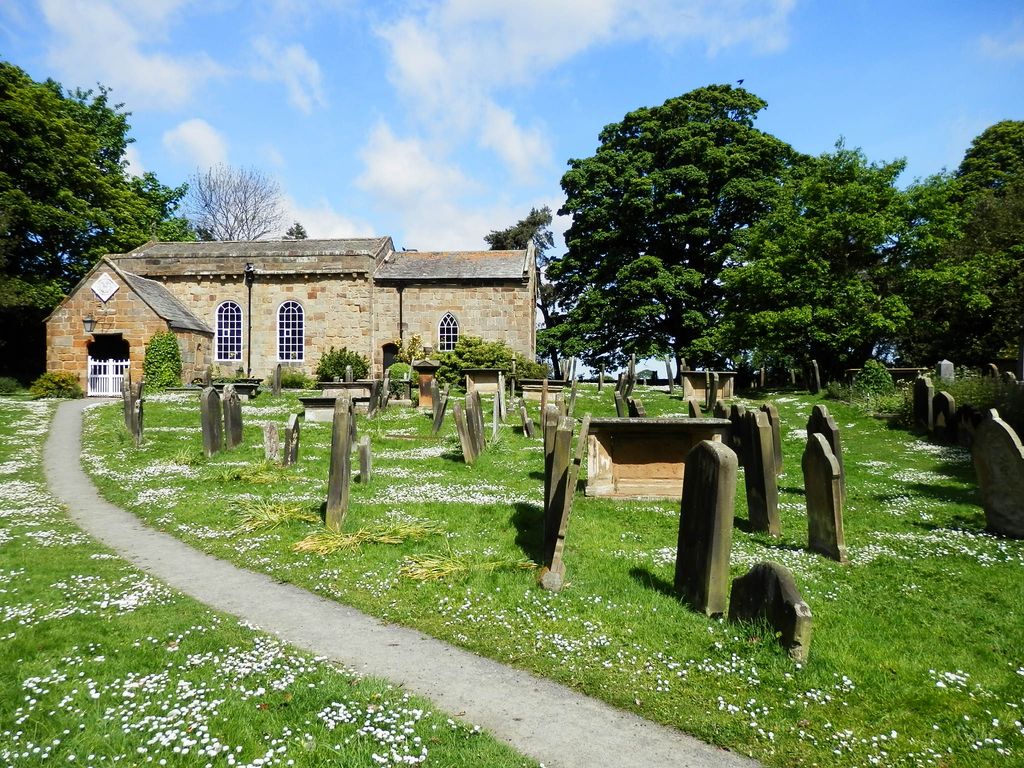
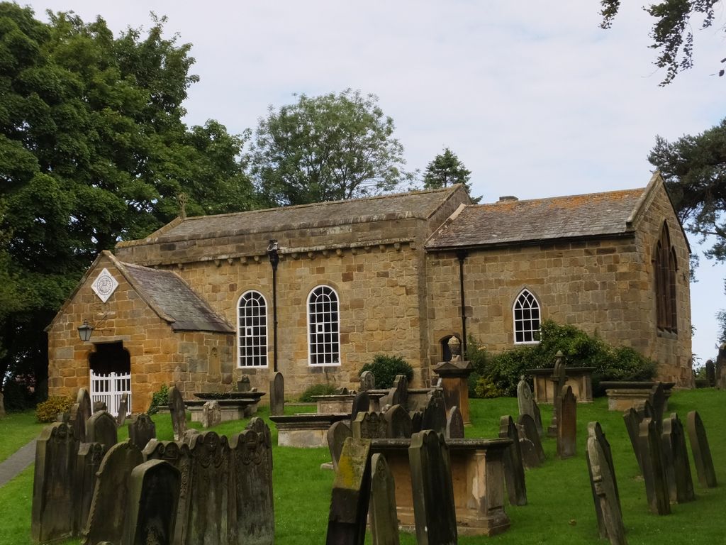
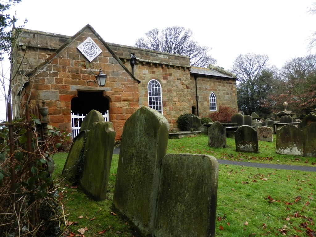
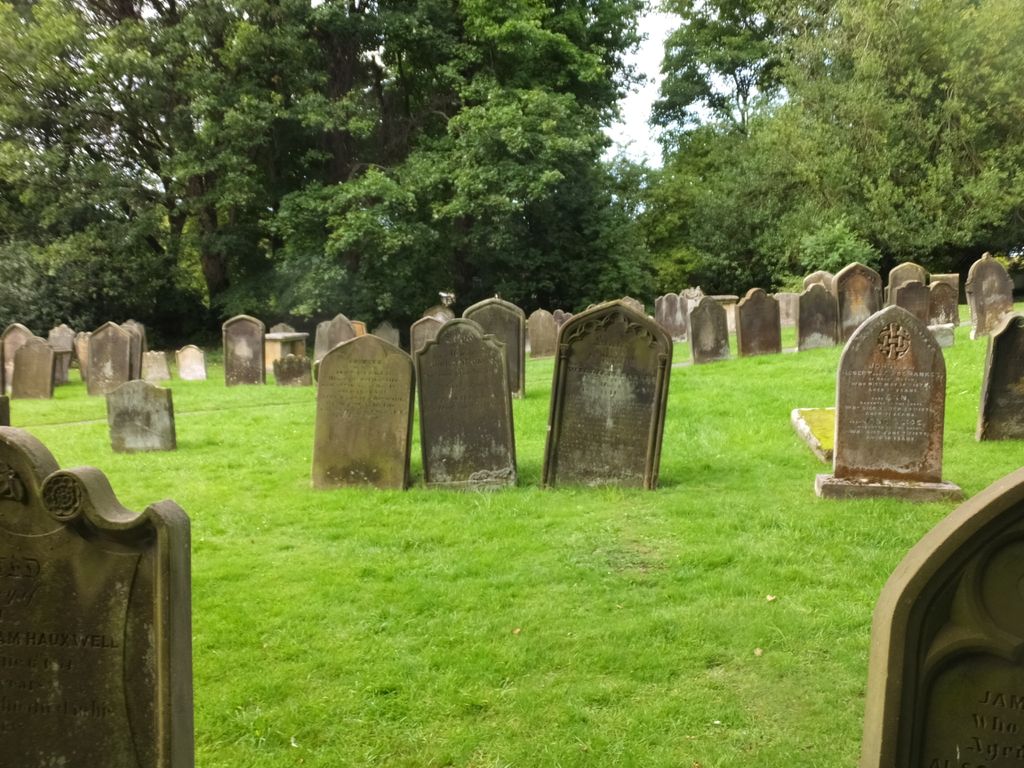
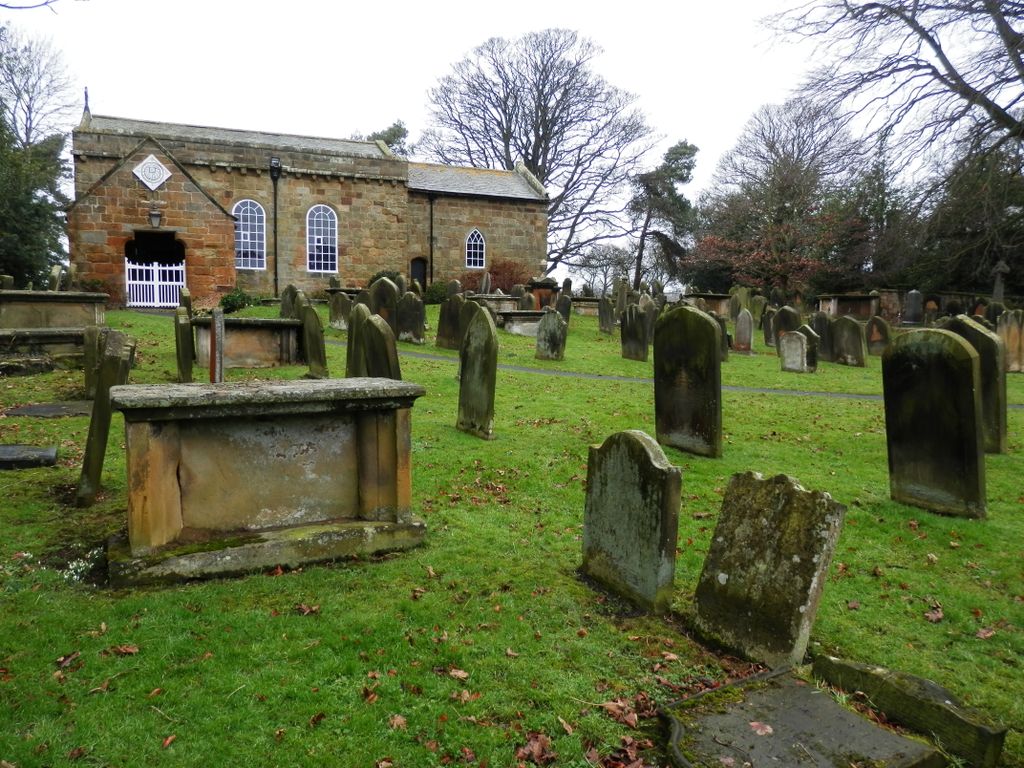
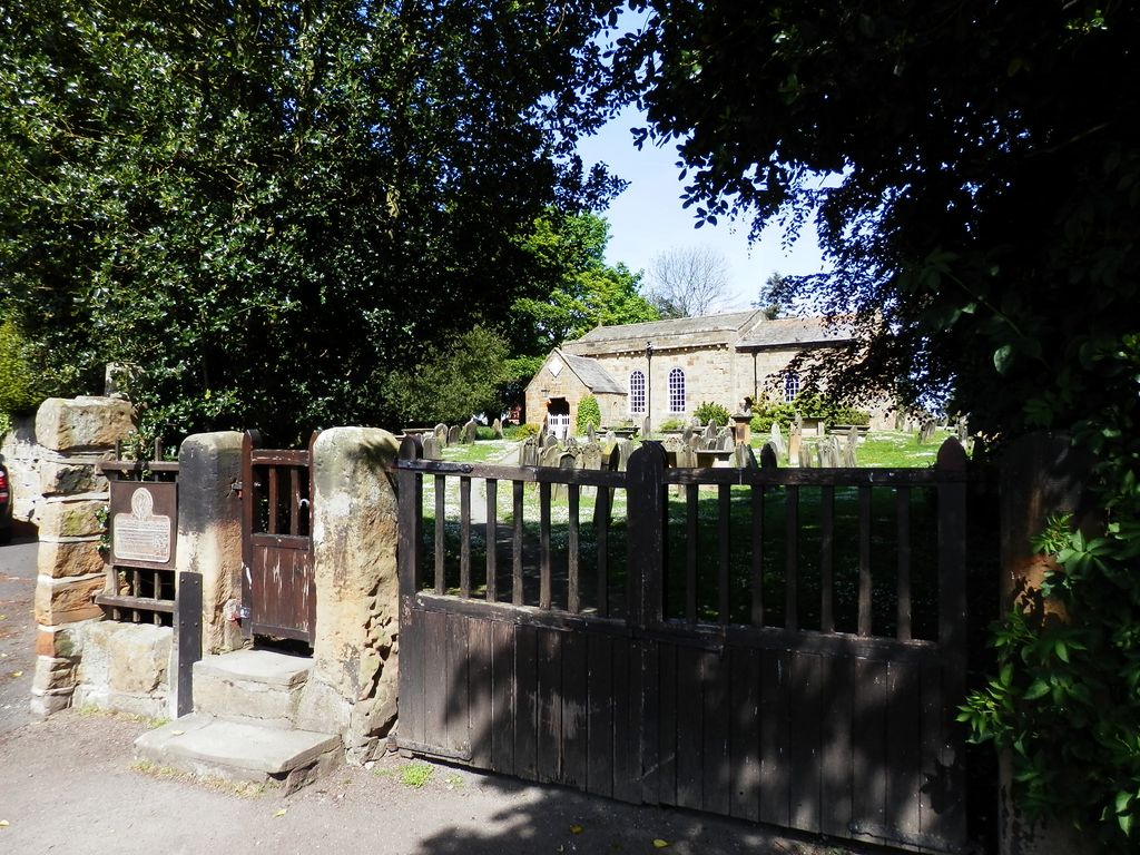
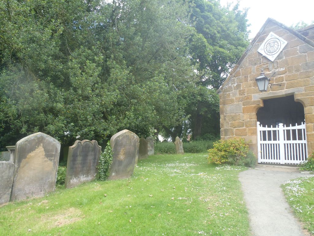
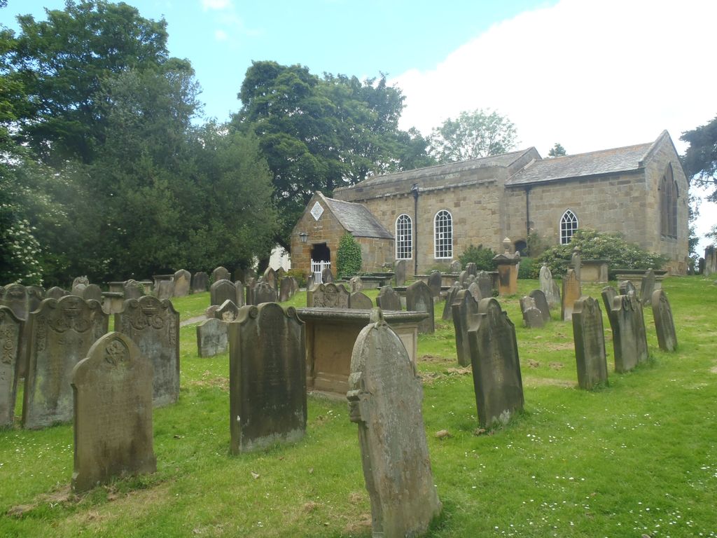
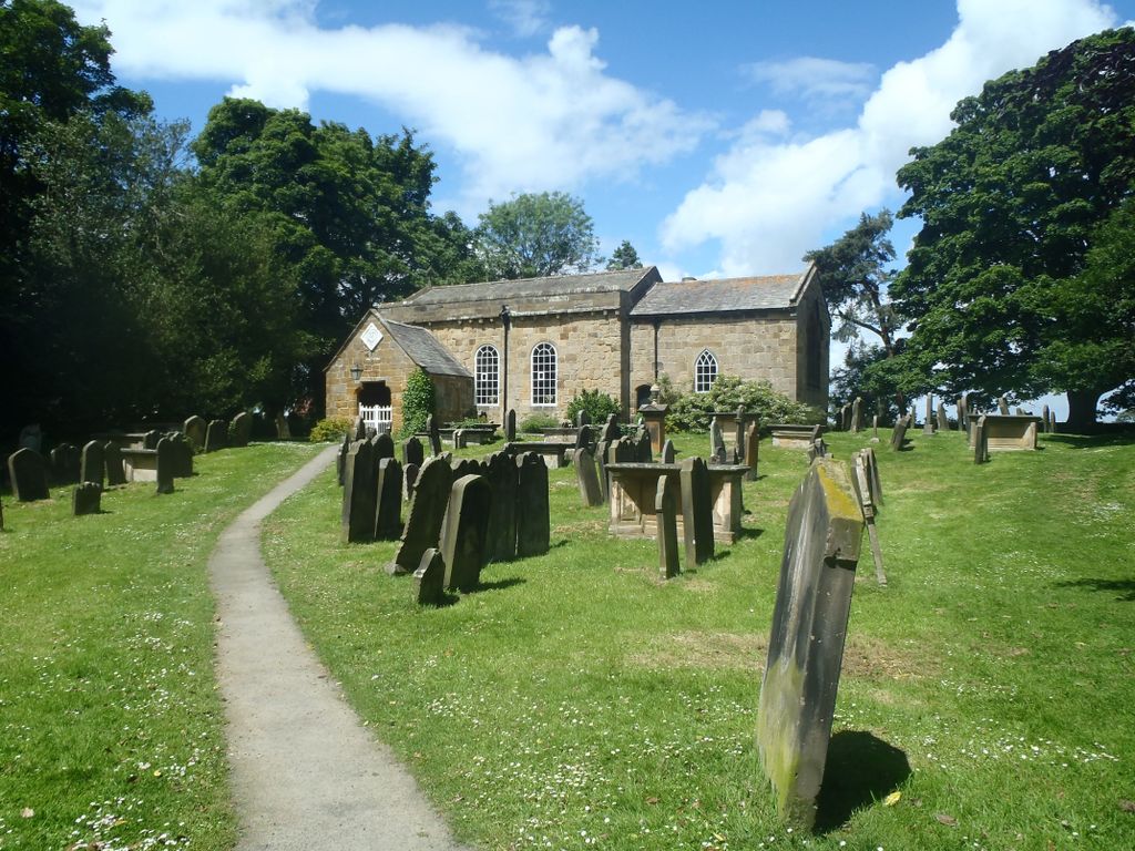
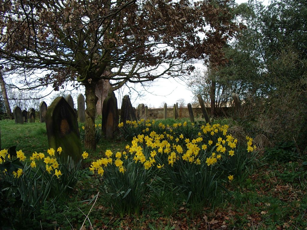
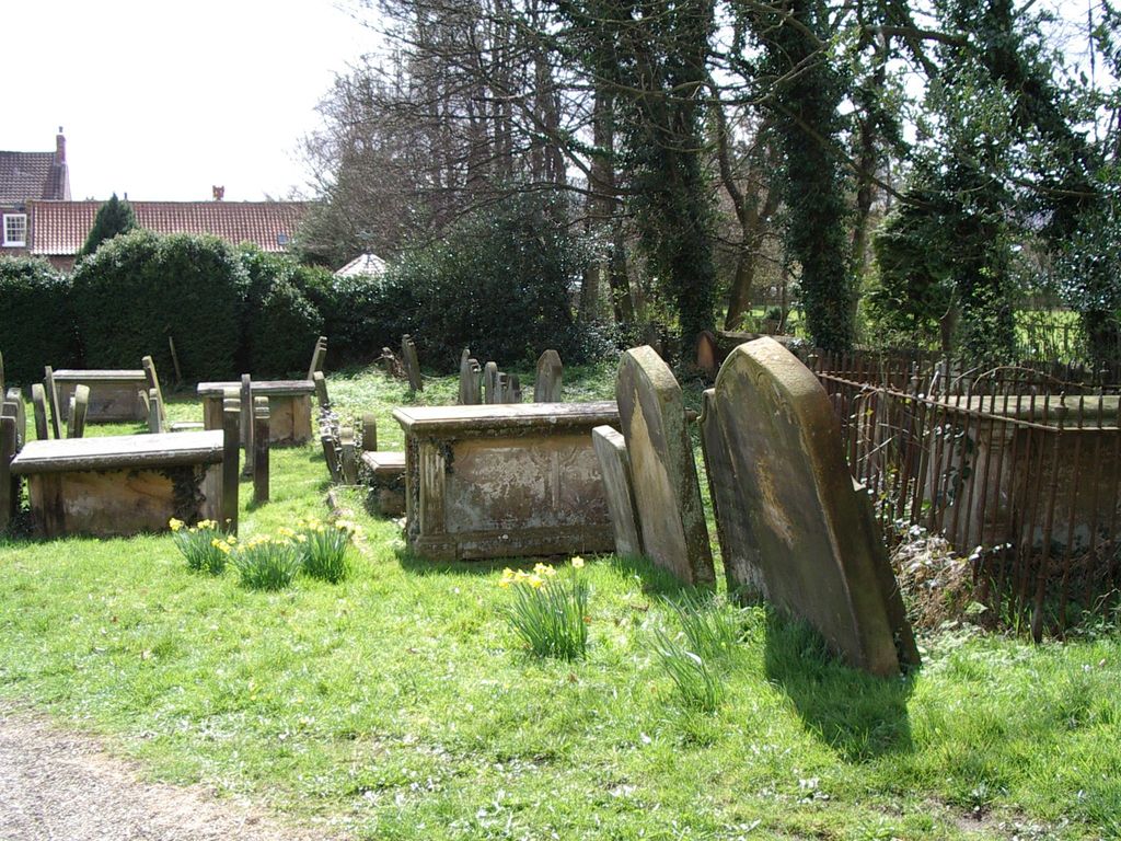
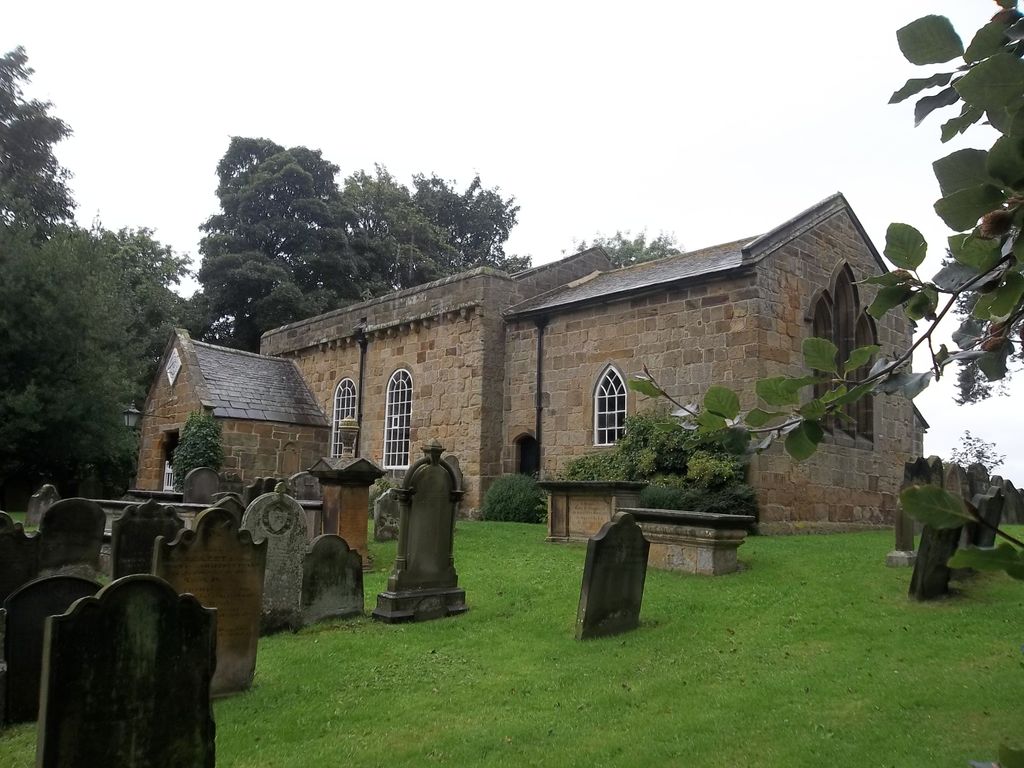
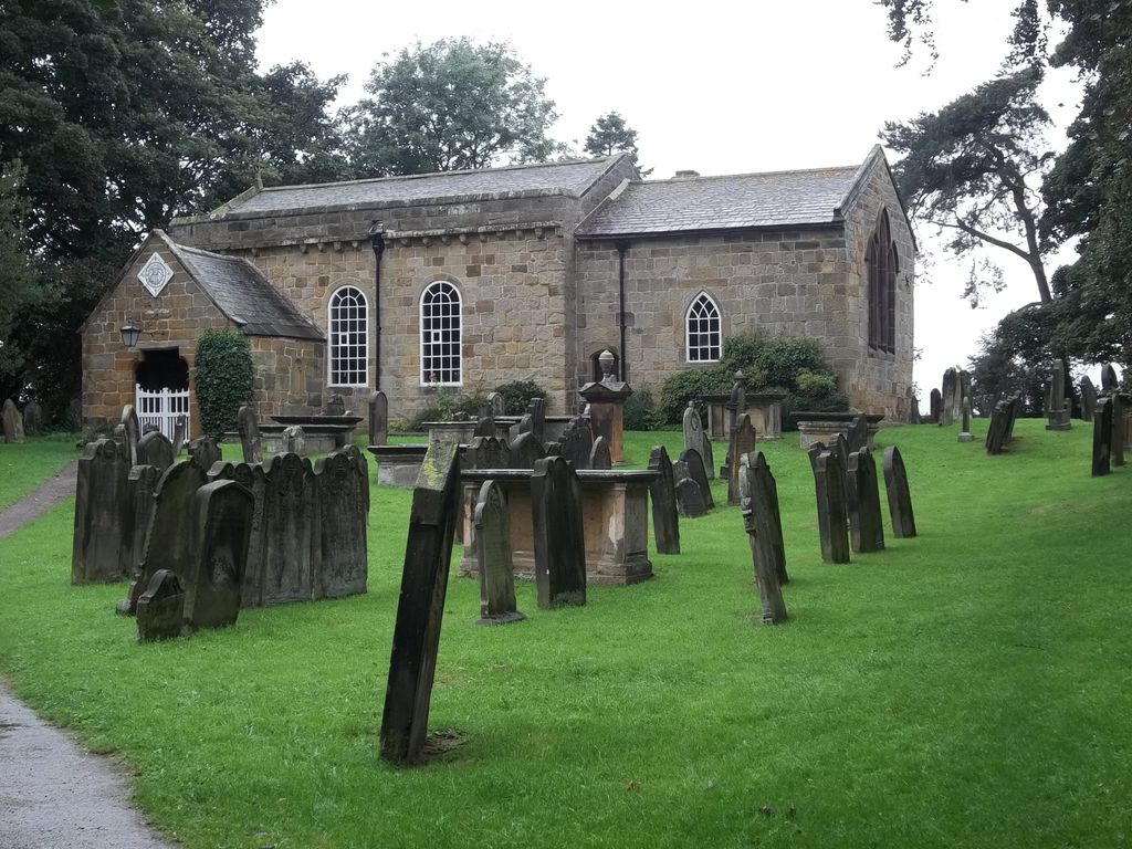
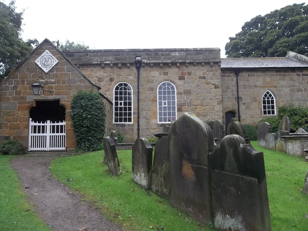
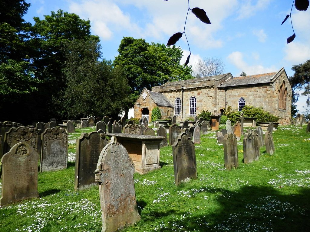
| Description | : | The ancient 12th Century Church of All Saints' was the original parish church of Great Ayton until the new building of Christ Church replaced it following a proposal in 1866 that a new church should be built. This was because the old building was becoming too small to house the growing congregation of the parish. This Church is open for visitors from April to October from 2pm - 4.30pm each day, subject to the availability of Guides. The cemetery at All Saints' has been 'closed' for many years. Inscriptions on some of the headstones give details from several centuries ago. n about 1995... Read More |
frequently asked questions (FAQ):
-
Where is All Saints Churchyard?
All Saints Churchyard is located at Great Ayton, Hambleton District ,North Yorkshire ,England.
-
All Saints Churchyard cemetery's updated grave count on graveviews.com?
12 memorials
-
Where are the coordinates of the All Saints Churchyard?
Latitude: 54.4897000
Longitude: -1.1429000
Nearby Cemetories:
1. Great Ayton Cemetery
Great Ayton, Hambleton District, England
Coordinate: 54.4931360, -1.1390010
2. Friends Burial Ground
Great Ayton, Hambleton District, England
Coordinate: 54.4880800, -1.1315580
3. St. Oswald's Churchyard
Newton under Roseberry, Redcar and Cleveland Unitary Authority, England
Coordinate: 54.5115243, -1.1223073
4. Emerson Family Mausoleum
Easby, Hambleton District, England
Coordinate: 54.4702280, -1.1098760
5. St Peter and St Paul Churchyard Cemetery Extension
Stokesley, Hambleton District, England
Coordinate: 54.4693040, -1.1853160
6. St Mary Churchyard
Nunthorpe, Middlesbrough Unitary Authority, England
Coordinate: 54.5187530, -1.1670180
7. St Peter and St Paul Churchyard
Stokesley, Hambleton District, England
Coordinate: 54.4696430, -1.1902080
8. St Cuthbert Churchyard
Kildale, Hambleton District, England
Coordinate: 54.4779100, -1.0689200
9. St. Augustine's Churchyard
Kirkby-in-Cleveland, Hambleton District, England
Coordinate: 54.4470300, -1.1715250
10. St. Andrew's Churchyard
Ingleby Greenhow, Hambleton District, England
Coordinate: 54.4487300, -1.1051300
11. St Martin Churchyard
Seamer, Hambleton District, England
Coordinate: 54.4856000, -1.2322000
12. St Mary the Virgin Roman Catholic Cathedral
Middlesbrough, Middlesbrough Unitary Authority, England
Coordinate: 54.5228700, -1.2138200
13. St. Cuthbert's Churchyard
Ormesby, Middlesbrough Unitary Authority, England
Coordinate: 54.5428600, -1.1808090
14. St. Cuthbert Churchyard
Marton-in-Cleveland, Middlesbrough Unitary Authority, England
Coordinate: 54.5356950, -1.2057090
15. Quakers Burial Ground
Guisborough, Redcar and Cleveland Unitary Authority, England
Coordinate: 54.5355100, -1.0569760
16. St Botolph Churchyard
Carlton-in-Cleveland, Hambleton District, England
Coordinate: 54.4338200, -1.2199490
17. Guisborough Priory
Guisborough, Redcar and Cleveland Unitary Authority, England
Coordinate: 54.5361700, -1.0489500
18. St. Nicholas Churchyard
Guisborough, Redcar and Cleveland Unitary Authority, England
Coordinate: 54.5366500, -1.0482800
19. Eston Cemetery
Eston, Redcar and Cleveland Unitary Authority, England
Coordinate: 54.5620460, -1.1552320
20. St Peter and St Paul Churchyard
Stainton, Middlesbrough Unitary Authority, England
Coordinate: 54.5195100, -1.2596600
21. Acklam Cemetery and Crematorium
Middlesbrough, Middlesbrough Unitary Authority, England
Coordinate: 54.5367830, -1.2423780
22. Teesside Crematorium
Middlesbrough, Middlesbrough Unitary Authority, England
Coordinate: 54.5360840, -1.2456050
23. Thorntree Cemetery
Middlesbrough, Middlesbrough Unitary Authority, England
Coordinate: 54.5607660, -1.1878970
24. Thorntree Roman Catholic Cemetery
Middlesbrough, Middlesbrough Unitary Authority, England
Coordinate: 54.5628810, -1.1884760