| Memorials | : | 0 |
| Location | : | Warwick, Kent County, USA |
| Coordinate | : | 41.7141876, -71.3965073 |
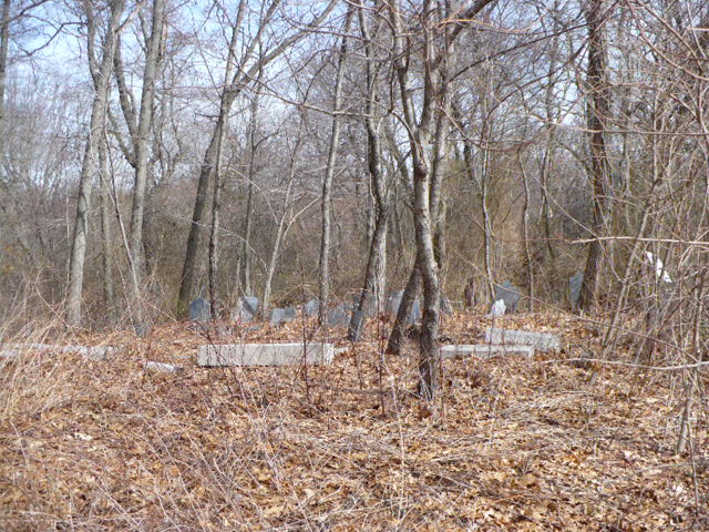
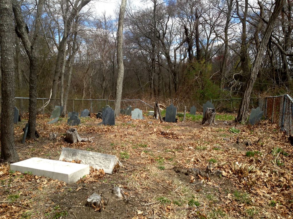
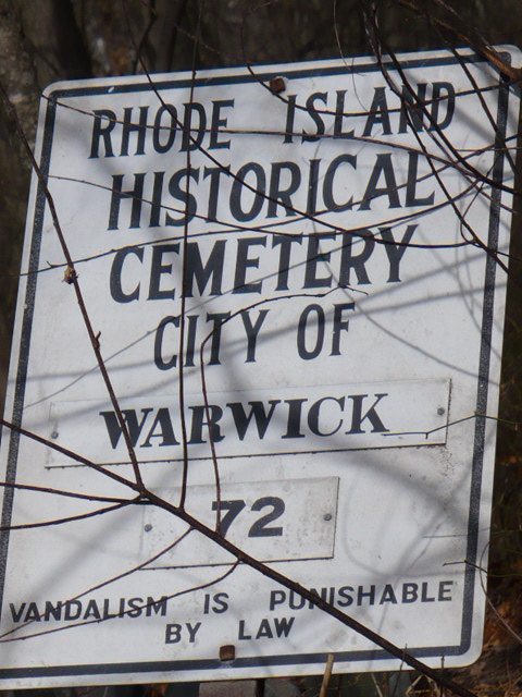
| Description | : | Lot is located 300 feet behind the Assembly Church of God on the north side of Sandy Lane just east of the intersection of Old Warwick Avenue. There is no protection for his lot and many of the stones are knocked over but all are in excellent shape. There is a sign and it is in good order. The lot is very overgrown with trees and briars. This lot was is very close to the Thomas Warner Lot WK#73, The Briggs-Stone Lot WK#71 and the Briggs Lot WK#70. Visited on March 7, 2008. |
frequently asked questions (FAQ):
-
Where is Amos Lockwood Lot?
Amos Lockwood Lot is located at Sandy Lane Warwick, Kent County ,Rhode Island ,USA.
-
Amos Lockwood Lot cemetery's updated grave count on graveviews.com?
0 memorials
-
Where are the coordinates of the Amos Lockwood Lot?
Latitude: 41.7141876
Longitude: -71.3965073
Nearby Cemetories:
1. Briggs-Stone Lot
Warwick, Kent County, USA
Coordinate: 41.7139244, -71.3949890
2. Hart Lot
Warwick, Kent County, USA
Coordinate: 41.7135710, -71.3998830
3. Briggs Lot
Warwick, Kent County, USA
Coordinate: 41.7131691, -71.3928986
4. Lockwood-Phillips Lot
Warwick, Kent County, USA
Coordinate: 41.7118912, -71.4039078
5. Benajah Lockwood Lot
Warwick, Kent County, USA
Coordinate: 41.7119293, -71.4059753
6. Colonel John Waterman Lot
Warwick, Kent County, USA
Coordinate: 41.7218018, -71.3965912
7. Joseph Horr Lot
Warwick, Kent County, USA
Coordinate: 41.7113890, -71.4108890
8. Colonel John Low Lot
Warwick, Kent County, USA
Coordinate: 41.7017850, -71.3977870
9. Lincoln Family Lot
Warwick, Kent County, USA
Coordinate: 41.7090111, -71.4119034
10. Captain John Low Burial Ground (Defunct)
Warwick, Kent County, USA
Coordinate: 41.7014990, -71.3956940
11. Christopher Spencer Lot
Warwick, Kent County, USA
Coordinate: 41.7032900, -71.3867400
12. Friends Burial Yard
Warwick, Kent County, USA
Coordinate: 41.7030030, -71.3866420
13. Greene Lot
Warwick, Kent County, USA
Coordinate: 41.7034683, -71.3837891
14. Elder Charles Holden Lot
Warwick, Kent County, USA
Coordinate: 41.6975280, -71.3957220
15. Captain Randall Holden Jr. Lot
Warwick, Kent County, USA
Coordinate: 41.6991500, -71.3858700
16. Greene Lot
Warwick, Kent County, USA
Coordinate: 41.7283710, -71.3838880
17. Christopher Greene Lot
Warwick, Kent County, USA
Coordinate: 41.7314606, -71.3957367
18. Greene Lot
Warwick, Kent County, USA
Coordinate: 41.6967270, -71.3912590
19. Lippitt Burial Ground
Warwick, Kent County, USA
Coordinate: 41.7049090, -71.4174200
20. Carder Lot
Warwick, Kent County, USA
Coordinate: 41.6952240, -71.3916750
21. Governor Samuel Gorton Lot
Warwick, Kent County, USA
Coordinate: 41.6998940, -71.3789673
22. Austin-Card Lot
Warwick, Kent County, USA
Coordinate: 41.7330246, -71.4032974
23. Abraham Lockwood Lot
Warwick, Kent County, USA
Coordinate: 41.7155280, -71.4244440
24. James Budlong Lot
Warwick, Kent County, USA
Coordinate: 41.7023610, -71.4216670


