
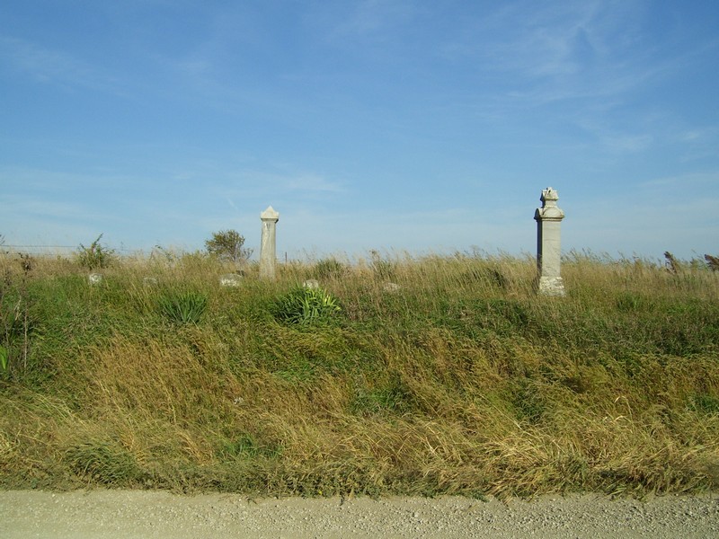
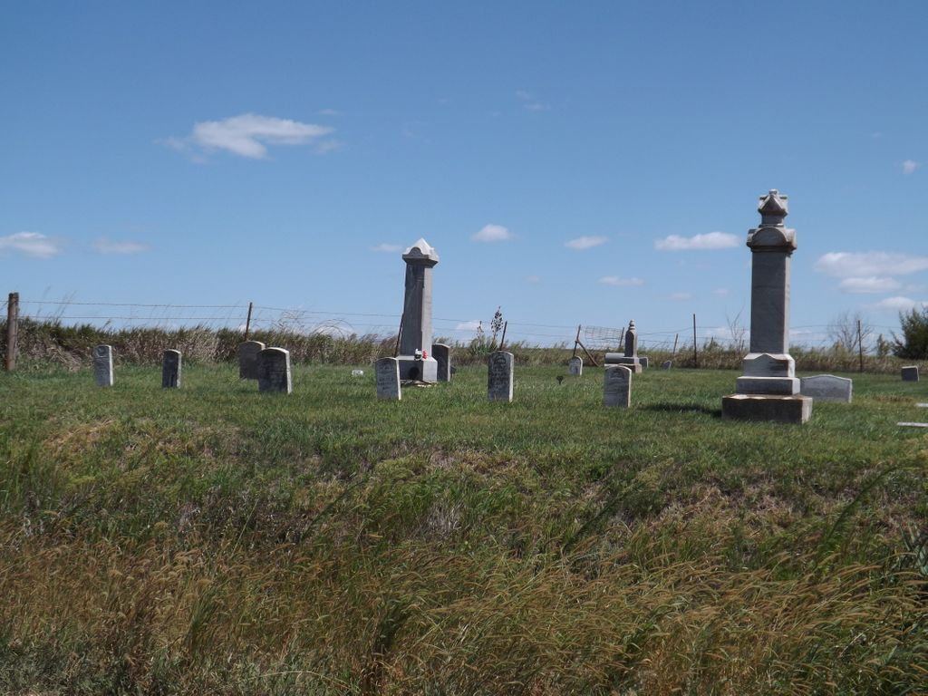
| Memorials | : | 27 |
| Location | : | Doniphan County, USA |
| Coordinate | : | 39.6601700, -95.3214200 |
frequently asked questions (FAQ):
-
Where is Anderson Cemetery?
Anderson Cemetery is located at Ash Point Rd Doniphan County ,Kansas ,USA.
-
Anderson Cemetery cemetery's updated grave count on graveviews.com?
26 memorials
-
Where are the coordinates of the Anderson Cemetery?
Latitude: 39.6601700
Longitude: -95.3214200

Nearby Cemetories:
1. Saint Marys Cemetery
Doniphan County, USA
Coordinate: 39.6897011, -95.3174973
2. Miller Cemetery
Everest, Brown County, USA
Coordinate: 39.6866989, -95.3628006
3. Huron Cemetery
Huron, Atchison County, USA
Coordinate: 39.6058006, -95.3585968
4. Chain Family Cemetery
Huron, Atchison County, USA
Coordinate: 39.6238518, -95.3964767
5. Denton Cemetery
Denton, Doniphan County, USA
Coordinate: 39.7263985, -95.2838974
6. Robertson Cemetery
Doniphan County, USA
Coordinate: 39.6678009, -95.2277985
7. Page Cemetery
Brown County, USA
Coordinate: 39.7000600, -95.4015400
8. Kimberlin Cemetery
Everest, Brown County, USA
Coordinate: 39.7111015, -95.3964005
9. Saint Louis Cemetery
Good Intent, Atchison County, USA
Coordinate: 39.6241035, -95.2268753
10. Wolf River Cemetery
Brown County, USA
Coordinate: 39.7476900, -95.3397500
11. Good Intent Cemetery
Lancaster, Atchison County, USA
Coordinate: 39.6025009, -95.2275009
12. Saint Benedict Cemetery
Bendena, Doniphan County, USA
Coordinate: 39.7195015, -95.2285995
13. Lancaster Cemetery
Lancaster, Atchison County, USA
Coordinate: 39.5666275, -95.3054123
14. Victory Cemetery
Denton, Doniphan County, USA
Coordinate: 39.7327995, -95.2358017
15. Eden Cemetery (Defunct)
Good Intent, Atchison County, USA
Coordinate: 39.5989300, -95.2163100
16. Bitner Cemetery
Severance, Doniphan County, USA
Coordinate: 39.7439003, -95.2466965
17. All Saints Cemetery
Everest, Brown County, USA
Coordinate: 39.7008018, -95.4507980
18. Forest Grove Cemetery
Effingham, Atchison County, USA
Coordinate: 39.5802689, -95.4171524
19. Zion Lutheran Church Cemetery
Everest, Brown County, USA
Coordinate: 39.7290611, -95.4336777
20. Maple Grove Cemetery
Atchison County, USA
Coordinate: 39.5505981, -95.3597031
21. Springer Cemetery
Doniphan County, USA
Coordinate: 39.7695389, -95.2683792
22. Carr Cemetery
Everest, Brown County, USA
Coordinate: 39.7254600, -95.4521600
23. Upper Wolf Lutheran Cemetery
Robinson, Brown County, USA
Coordinate: 39.7690010, -95.3893509
24. Brush Creek Cemetery
Kennekuk, Atchison County, USA
Coordinate: 39.6096992, -95.4702988