
| Memorials | : | 47 |
| Location | : | Everest, Brown County, USA |
| Coordinate | : | 39.7290611, -95.4336777 |
frequently asked questions (FAQ):
-
Where is Zion Lutheran Church Cemetery?
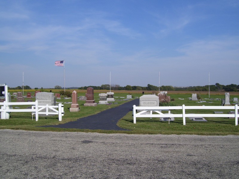
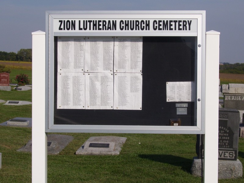
Zion Lutheran Church Cemetery is located at Everest, Brown County ,Kansas ,USA.
-
Zion Lutheran Church Cemetery cemetery's updated grave count on graveviews.com?
47 memorials
-
Where are the coordinates of the Zion Lutheran Church Cemetery?
Latitude: 39.7290611
Longitude: -95.4336777

Nearby Cemetories:
1. Carr Cemetery
Everest, Brown County, USA
Coordinate: 39.7254600, -95.4521600
2. All Saints Cemetery
Everest, Brown County, USA
Coordinate: 39.7008018, -95.4507980
3. Kimberlin Cemetery
Everest, Brown County, USA
Coordinate: 39.7111015, -95.3964005
4. Page Cemetery
Brown County, USA
Coordinate: 39.7000600, -95.4015400
5. Madison Cemetery
Robinson, Brown County, USA
Coordinate: 39.7717700, -95.4201700
6. Upper Wolf Lutheran Cemetery
Robinson, Brown County, USA
Coordinate: 39.7690010, -95.3893509
7. Miller Cemetery
Everest, Brown County, USA
Coordinate: 39.6866989, -95.3628006
8. Claytonville Cemetery
Horton, Brown County, USA
Coordinate: 39.7766991, -95.5046997
9. Wolf River Cemetery
Brown County, USA
Coordinate: 39.7476900, -95.3397500
10. Saint Leos Catholic Cemetery
Horton, Brown County, USA
Coordinate: 39.6667595, -95.4889603
11. Rose Hill Cemetery
Robinson, Brown County, USA
Coordinate: 39.8097000, -95.4139023
12. Pleasant Ridge Cemetery
Brown County, USA
Coordinate: 39.7928009, -95.3654022
13. Kennekuk Cemetery
Horton, Brown County, USA
Coordinate: 39.6533012, -95.4875031
14. Horton Cemetery
Horton, Brown County, USA
Coordinate: 39.6573982, -95.5126419
15. Saint Marys Cemetery
Doniphan County, USA
Coordinate: 39.6897011, -95.3174973
16. Chain Family Cemetery
Huron, Atchison County, USA
Coordinate: 39.6238518, -95.3964767
17. Anderson Cemetery
Doniphan County, USA
Coordinate: 39.6601700, -95.3214200
18. Denton Cemetery
Denton, Doniphan County, USA
Coordinate: 39.7263985, -95.2838974
19. Pleasant Hill Cemetery
Leona, Doniphan County, USA
Coordinate: 39.8162193, -95.3224869
20. Brush Creek Cemetery
Kennekuk, Atchison County, USA
Coordinate: 39.6096992, -95.4702988
21. Lutheran Cemetery
Mercier, Brown County, USA
Coordinate: 39.7250500, -95.6000710
22. Saint Peters Cemetery
Mercier, Brown County, USA
Coordinate: 39.7247009, -95.6016998
23. Ununda Cemetery
Robinson, Brown County, USA
Coordinate: 39.8582993, -95.4143982
24. Wheatland Cemetery
Atchison County, USA
Coordinate: 39.6453018, -95.5633011