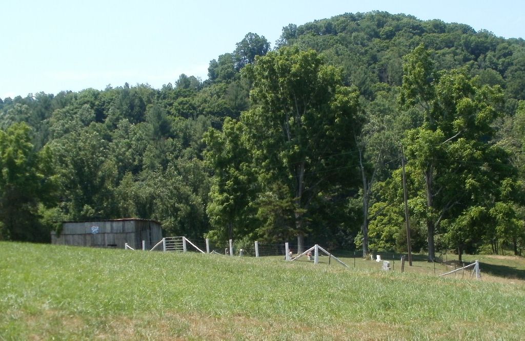
| Memorials | : | 2 |
| Location | : | Buntontown, Johnson County, USA |
| Coordinate | : | 36.2937430, -81.9735220 |
| Description | : | ( From Buntontown) Turn on Sugar Hollow Road (oposite Buntontown Store) and continue about 2 miles; cemetery is on the right of the gravel drive leading to the Diggs residence. |
frequently asked questions (FAQ):
-
Where is Andrews-Tester Cemetery?
Andrews-Tester Cemetery is located at Sugar Hollow Road Buntontown, Johnson County ,Tennessee , 37640USA.
-
Andrews-Tester Cemetery cemetery's updated grave count on graveviews.com?
2 memorials
-
Where are the coordinates of the Andrews-Tester Cemetery?
Latitude: 36.2937430
Longitude: -81.9735220
Nearby Cemetories:
1. Bunton Cemetery
Johnson County, USA
Coordinate: 36.2921982, -81.9744034
2. Crosswhite Cemetery
Johnson County, USA
Coordinate: 36.2947006, -81.9649963
3. J. L. Price Cemetery
Buntontown, Johnson County, USA
Coordinate: 36.2891300, -81.9819000
4. Evans Potter Cemetery
Buntontown, Johnson County, USA
Coordinate: 36.2808800, -81.9650200
5. John Cable Cemetery
Dry Hill, Johnson County, USA
Coordinate: 36.3130989, -81.9606018
6. Julius Dugger Cemetery
Dry Hill, Johnson County, USA
Coordinate: 36.3130989, -81.9580994
7. Michael Dugger Cemetery
Johnson County, USA
Coordinate: 36.3018990, -81.9464035
8. Goodwin Cemetery #3
Elk Mills, Carter County, USA
Coordinate: 36.2756004, -81.9925003
9. Payne Cemetery
Butler, Johnson County, USA
Coordinate: 36.2961000, -81.9439000
10. Elk Mills Cemetery
Elk Mills, Carter County, USA
Coordinate: 36.2727300, -81.9901400
11. Elk Mills Baptist Church Cemetery
Carter County, USA
Coordinate: 36.2730100, -81.9935400
12. Sugar Grove Baptist Church Cemetery
Dry Hill, Johnson County, USA
Coordinate: 36.3174200, -81.9590100
13. Lakeview Cemetery
Elk Mills, Carter County, USA
Coordinate: 36.3143997, -81.9978027
14. John Miller Cemetery
Elk Mills, Carter County, USA
Coordinate: 36.2684630, -81.9910100
15. Clawson Cemetery
Carter County, USA
Coordinate: 36.2685300, -81.9917800
16. Cable Cemetery
Elk Mills, Carter County, USA
Coordinate: 36.2638610, -81.9756890
17. Dugger Cemetery
Buntontown, Johnson County, USA
Coordinate: 36.3106003, -81.9421997
18. Hatley Cemetery
Carter County, USA
Coordinate: 36.3087850, -82.0063170
19. Cowan Cemetery
Butler, Johnson County, USA
Coordinate: 36.3074300, -81.9387100
20. William Powell Burial Site
Butler, Johnson County, USA
Coordinate: 36.3195600, -81.9514900
21. Stout Cemetery
Elk Mills, Carter County, USA
Coordinate: 36.2632380, -81.9846150
22. Campbell Cemetery
Carter County, USA
Coordinate: 36.3171997, -82.0018997
23. Harrison Stanberry Cemetery
Butler, Johnson County, USA
Coordinate: 36.2805600, -81.9321000
24. Stanbery Cemetery
Buntontown, Johnson County, USA
Coordinate: 36.2805600, -81.9320700

