
| Memorials | : | 10 |
| Location | : | Carter County, USA |
| Coordinate | : | 36.3087850, -82.0063170 |
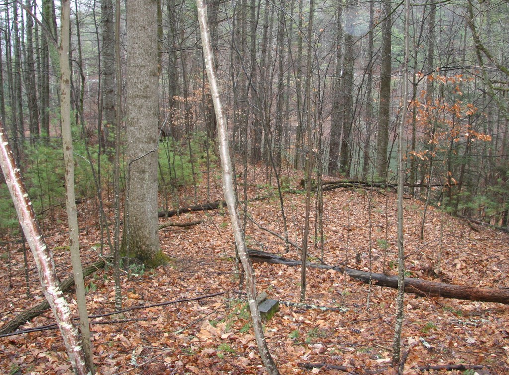
| Description | : | Original Hatley Cemetery (near Old Bishop, Carter County, Tennessee) was to be inundated by the Watauga Reservoir due to the 1930s TVA project. ======== 2017 Note: R. A. Crowder This cemetery is listed on the TVA cemetery list but it is approximately 200 feet above the highest possible lake level. It can easily be accessed by boat with a short walk up a hill. I walked in from Highway 321 and encountered many fallen trees that made the 500 yard walk difficult. I saw what appears to be an old logging road on the North West side of the cemetery so it... Read More |
frequently asked questions (FAQ):
-
Where is Hatley Cemetery?
Hatley Cemetery is located at Carter County ,Tennessee ,USA.
-
Hatley Cemetery cemetery's updated grave count on graveviews.com?
10 memorials
-
Where are the coordinates of the Hatley Cemetery?
Latitude: 36.3087850
Longitude: -82.0063170
Nearby Cemetories:
1. Norris Cemetery
Elk Mills, Carter County, USA
Coordinate: 36.3071500, -82.0158400
2. Lakeview Cemetery
Elk Mills, Carter County, USA
Coordinate: 36.3143997, -81.9978027
3. Campbell Cemetery
Carter County, USA
Coordinate: 36.3171997, -82.0018997
4. Davenport Cemetery
Carter County, USA
Coordinate: 36.2954900, -82.0186500
5. Hatley Cemetery
Carter County, USA
Coordinate: 36.2949200, -82.0216800
6. J. L. Price Cemetery
Buntontown, Johnson County, USA
Coordinate: 36.2891300, -81.9819000
7. Wagner Cemetery
Dry Hill, Johnson County, USA
Coordinate: 36.3292007, -81.9822006
8. Andrews-Tester Cemetery
Buntontown, Johnson County, USA
Coordinate: 36.2937430, -81.9735220
9. Bunton Cemetery
Johnson County, USA
Coordinate: 36.2921982, -81.9744034
10. Greenwell Cemetery
Johnson County, USA
Coordinate: 36.3306007, -81.9785995
11. Carriger Cemetery
Johnson County, USA
Coordinate: 36.3373500, -81.9829100
12. Griffith Cemetery
Carter County, USA
Coordinate: 36.3183000, -82.0474900
13. Goodwin Cemetery #3
Elk Mills, Carter County, USA
Coordinate: 36.2756004, -81.9925003
14. Crosswhite Cemetery
Johnson County, USA
Coordinate: 36.2947006, -81.9649963
15. John Cable Cemetery
Dry Hill, Johnson County, USA
Coordinate: 36.3130989, -81.9606018
16. Elk Mills Baptist Church Cemetery
Carter County, USA
Coordinate: 36.2730100, -81.9935400
17. Hamby Cemetery
Carter County, USA
Coordinate: 36.3152900, -82.0531900
18. Elk Mills Cemetery
Elk Mills, Carter County, USA
Coordinate: 36.2727300, -81.9901400
19. Sugar Grove Baptist Church Cemetery
Dry Hill, Johnson County, USA
Coordinate: 36.3174200, -81.9590100
20. Julius Dugger Cemetery
Dry Hill, Johnson County, USA
Coordinate: 36.3130989, -81.9580994
21. Bailey Cemetery
Carter County, USA
Coordinate: 36.3138700, -82.0554600
22. Sink Valley Cemetery
Butler, Johnson County, USA
Coordinate: 36.3503100, -82.0011700
23. Clawson Cemetery
Carter County, USA
Coordinate: 36.2685300, -81.9917800
24. John Miller Cemetery
Elk Mills, Carter County, USA
Coordinate: 36.2684630, -81.9910100