
| Memorials | : | 4 |
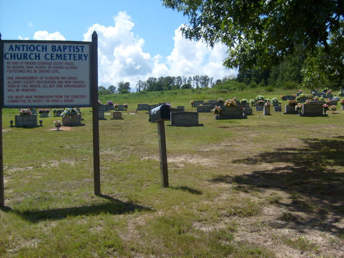
| Location | : | Hackleburg, Marion County, USA |
| Coordinate | : | 34.2956009, -87.7542038 |
frequently asked questions (FAQ):
-
Where is Antioch Baptist Church Cemetery?
Antioch Baptist Church Cemetery is located at County Road 123 Hackleburg, Marion County ,Alabama ,USA.
-
Antioch Baptist Church Cemetery cemetery's updated grave count on graveviews.com?
4 memorials
-
Where are the coordinates of the Antioch Baptist Church Cemetery?
Latitude: 34.2956009
Longitude: -87.7542038
Nearby Cemetories:
1. Fortner Cemetery
Marion County, USA
Coordinate: 34.2994003, -87.7692032
2. Shady Grove Cemetery #1
Phil Campbell, Franklin County, USA
Coordinate: 34.3175011, -87.7305984
3. Old Zion Factory Cemetery
Allens Factory, Marion County, USA
Coordinate: 34.2816200, -87.7219800
4. John Bull Cemetery
Marion County, USA
Coordinate: 34.2789001, -87.7210999
5. Hines Memorial Baptist Church Cemetery
Bear Creek, Marion County, USA
Coordinate: 34.2713465, -87.7213735
6. Mountain Home Cemetery
Bear Creek, Marion County, USA
Coordinate: 34.2593994, -87.7305984
7. Wendy Hollow Cemetery
Liberty Hill, Franklin County, USA
Coordinate: 34.3410680, -87.7680530
8. Swinney Family Cemetery
Liberty Hill, Franklin County, USA
Coordinate: 34.3421402, -87.7679214
9. Bear Creek Cemetery
Bear Creek, Marion County, USA
Coordinate: 34.2832985, -87.6980972
10. Bear Creek #1 Baptist Church Cemetery
Bear Creek, Marion County, USA
Coordinate: 34.2900009, -87.6956024
11. Liberty Hill Cemetery
Liberty Hill, Franklin County, USA
Coordinate: 34.3438988, -87.7668991
12. Fairview Cemetery
Hackleburg, Marion County, USA
Coordinate: 34.2517014, -87.7900009
13. Shady Grove Cemetery #3
Phil Campbell, Franklin County, USA
Coordinate: 34.3507000, -87.7761000
14. Center Point Cemetery
Franklin County, USA
Coordinate: 34.3196983, -87.6889038
15. Cedar Tree Cemetery
Hackleburg, Marion County, USA
Coordinate: 34.2775002, -87.8242035
16. Mars Hill Cemetery
Phil Campbell, Franklin County, USA
Coordinate: 34.3391991, -87.6968994
17. Phil Campbell Cemetery
Phil Campbell, Franklin County, USA
Coordinate: 34.3488998, -87.7058029
18. Arnold Cemetery
Bear Creek, Marion County, USA
Coordinate: 34.2910995, -87.6735992
19. Brock Cemetery
Nix Mill, Franklin County, USA
Coordinate: 34.3521996, -87.7977982
20. Lower Cemetery
Hackleburg, Marion County, USA
Coordinate: 34.2635994, -87.8274994
21. Mountain View Cemetery
Phil Campbell, Franklin County, USA
Coordinate: 34.3394000, -87.6847000
22. Edgar Cemetery
Franklin County, USA
Coordinate: 34.3507996, -87.8110962
23. Old Union Cemetery
Bear Creek, Marion County, USA
Coordinate: 34.2639008, -87.6707993
24. Burnt House Cemetery
Marion County, USA
Coordinate: 34.2510986, -87.8328018