| Memorials | : | 0 |
| Location | : | Allens Factory, Marion County, USA |
| Coordinate | : | 34.2816200, -87.7219800 |
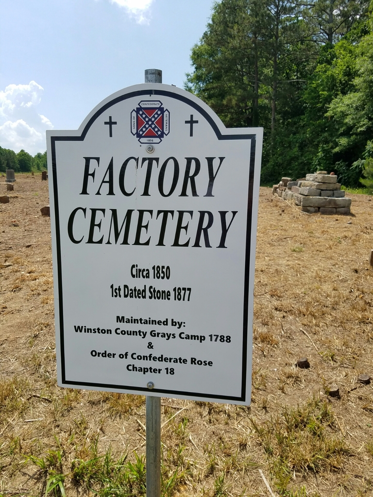
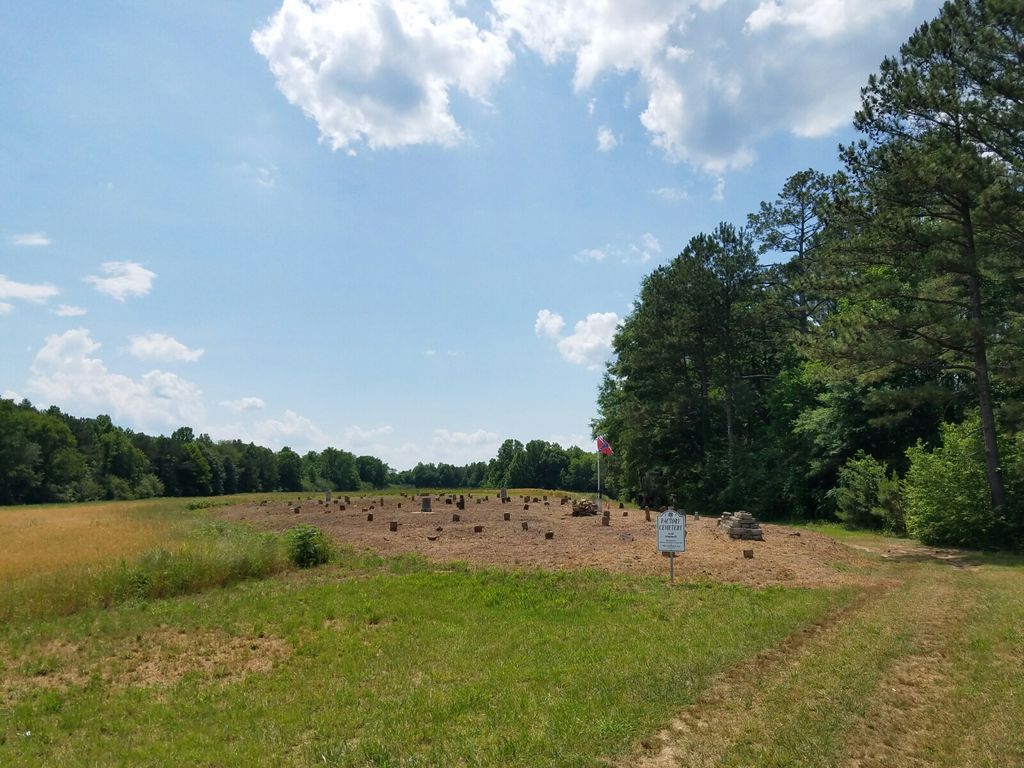
| Description | : | There are nine listings included at this cemetery site that were taken from a paper by Steve Saarinen - THE ALLEN BROTHERS AND THE FACTORIES ON BIG BEAR CREEK - 20 Nov 1981. During his research, he recorded names at the cemetery. Excerpt from paper - A cemetery is still in evidence about one fourth (1/4) mile north of the Lang Allen homesite. Old Zion Church?? It is on the west side of the road opposite to where the Phil Campbell road branches off. This is still known to older residents as the Factory... Read More |
frequently asked questions (FAQ):
-
Where is Old Zion Factory Cemetery?
Old Zion Factory Cemetery is located at Highway 172 Allens Factory, Marion County ,Alabama , 35543USA.
-
Old Zion Factory Cemetery cemetery's updated grave count on graveviews.com?
0 memorials
-
Where are the coordinates of the Old Zion Factory Cemetery?
Latitude: 34.2816200
Longitude: -87.7219800
Nearby Cemetories:
1. John Bull Cemetery
Marion County, USA
Coordinate: 34.2789001, -87.7210999
2. Hines Memorial Baptist Church Cemetery
Bear Creek, Marion County, USA
Coordinate: 34.2713465, -87.7213735
3. Bear Creek Cemetery
Bear Creek, Marion County, USA
Coordinate: 34.2832985, -87.6980972
4. Mountain Home Cemetery
Bear Creek, Marion County, USA
Coordinate: 34.2593994, -87.7305984
5. Bear Creek #1 Baptist Church Cemetery
Bear Creek, Marion County, USA
Coordinate: 34.2900009, -87.6956024
6. Antioch Baptist Church Cemetery
Hackleburg, Marion County, USA
Coordinate: 34.2956009, -87.7542038
7. Shady Grove Cemetery #1
Phil Campbell, Franklin County, USA
Coordinate: 34.3175011, -87.7305984
8. Arnold Cemetery
Bear Creek, Marion County, USA
Coordinate: 34.2910995, -87.6735992
9. Fortner Cemetery
Marion County, USA
Coordinate: 34.2994003, -87.7692032
10. Old Union Cemetery
Bear Creek, Marion County, USA
Coordinate: 34.2639008, -87.6707993
11. Center Point Cemetery
Franklin County, USA
Coordinate: 34.3196983, -87.6889038
12. Mars Hill Cemetery
Phil Campbell, Franklin County, USA
Coordinate: 34.3391991, -87.6968994
13. Fairview Cemetery
Hackleburg, Marion County, USA
Coordinate: 34.2517014, -87.7900009
14. Ireland Cemetery
Marion County, USA
Coordinate: 34.2186012, -87.7063980
15. Mountain View Cemetery
Phil Campbell, Franklin County, USA
Coordinate: 34.3394000, -87.6847000
16. Union Grove Congregational Church Cemetery
Haleyville, Marion County, USA
Coordinate: 34.2486000, -87.6513977
17. Bethel Cemetery
Franklin County, USA
Coordinate: 34.3167000, -87.6519012
18. Phil Campbell Cemetery
Phil Campbell, Franklin County, USA
Coordinate: 34.3488998, -87.7058029
19. Wendy Hollow Cemetery
Liberty Hill, Franklin County, USA
Coordinate: 34.3410680, -87.7680530
20. Swinney Family Cemetery
Liberty Hill, Franklin County, USA
Coordinate: 34.3421402, -87.7679214
21. Liberty Hill Cemetery
Liberty Hill, Franklin County, USA
Coordinate: 34.3438988, -87.7668991
22. Shiloh Methodist Church Cemetery
Haleyville, Winston County, USA
Coordinate: 34.2924995, -87.6333008
23. County Line Cemetery
Haleyville, Winston County, USA
Coordinate: 34.2537850, -87.6337280
24. Shady Grove Cemetery #3
Phil Campbell, Franklin County, USA
Coordinate: 34.3507000, -87.7761000


