
| Memorials | : | 0 |
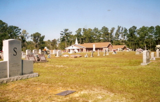
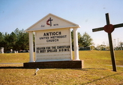
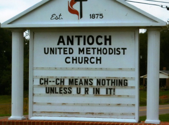
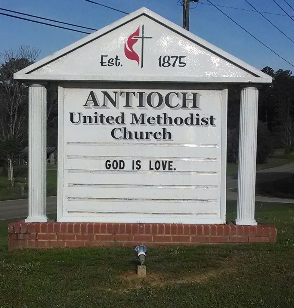
| Location | : | Antioch, Jones County, USA |
| Coordinate | : | 31.6532993, -89.0511017 |
| Description | : | Originally founded in 1875 as Antioch Congregational Methodist Church with seven charter members. The original site was in another nearby location. The present location was deeded in August 1891. On September 12, 1924, the church was accepted into the Methodist Episcopal Church South. A new church building was dedicated April 1933, and the present church was rebuilt in 1974 with the first service being held on November 14, 1974. |
frequently asked questions (FAQ):
-
Where is Antioch United Methodist Church Cemetery?
Antioch United Methodist Church Cemetery is located at Antioch, Jones County ,Mississippi ,USA.
-
Antioch United Methodist Church Cemetery cemetery's updated grave count on graveviews.com?
0 memorials
-
Where are the coordinates of the Antioch United Methodist Church Cemetery?
Latitude: 31.6532993
Longitude: -89.0511017
Nearby Cemetories:
1. Emmanuel Baptist Church Cemetery
Laurel, Jones County, USA
Coordinate: 31.6529300, -89.0482300
2. Goodwill Baptist Church Cemetery
Laurel, Jones County, USA
Coordinate: 31.6721900, -89.0689810
3. Clark Cemetery
Laurel, Jones County, USA
Coordinate: 31.6756001, -89.0168991
4. Memorial Park Cemetery
Jones County, USA
Coordinate: 31.6966991, -89.0505981
5. Tuckers Crossing Baptist Church Cemetery
Tuckers Crossing, Jones County, USA
Coordinate: 31.6274620, -89.0925830
6. Memorial Gardens
Laurel, Jones County, USA
Coordinate: 31.6977800, -89.0505600
7. Bethlehem Baptist Church Cemetery
Laurel, Jones County, USA
Coordinate: 31.6970615, -89.0373230
8. Myrick Cemetery
Laurel, Jones County, USA
Coordinate: 31.6597004, -88.9982986
9. Lawn Haven Church Cemetery
Laurel, Jones County, USA
Coordinate: 31.7012500, -89.0535000
10. Angel Lake Cemetery
Laurel, Jones County, USA
Coordinate: 31.6781290, -88.9996380
11. Mount Vernon Cemetery
Glade, Jones County, USA
Coordinate: 31.6646996, -89.1097031
12. Gore-Patterson Cemetery
Cleo, Jones County, USA
Coordinate: 31.7037630, -89.0349630
13. Hickory Hill Cemetery
Ovett, Jones County, USA
Coordinate: 31.5981240, -89.0576660
14. Faith Bible Church Cemetery
Laurel, Jones County, USA
Coordinate: 31.6749230, -89.1117610
15. East View Baptist Church Cemetery
Jones County, USA
Coordinate: 31.6961100, -89.0958300
16. Lake Congregational Methodist Church Cemetery
Laurel, Jones County, USA
Coordinate: 31.6975100, -89.0082200
17. Tucker Cemetery
Jones County, USA
Coordinate: 31.6002998, -89.0942001
18. Rushton Cemetery
Laurel, Jones County, USA
Coordinate: 31.7197200, -89.0429500
19. Grace Baptist Church Cemetery
Laurel, Jones County, USA
Coordinate: 31.7017481, -88.9915011
20. Windham Cemetery
Laurel, Jones County, USA
Coordinate: 31.6839008, -89.1268997
21. Nora Davis Memorial Cemetery
Laurel, Jones County, USA
Coordinate: 31.7206001, -89.0894012
22. The Donald Family Cemetery
Laurel, Jones County, USA
Coordinate: 31.6140565, -88.9761124
23. East Pleasant Grove Church Cemetery
Laurel, Jones County, USA
Coordinate: 31.7221970, -89.0874170
24. Dennis Blackledge Cemetery
Jones County, USA
Coordinate: 31.6882900, -88.9678800