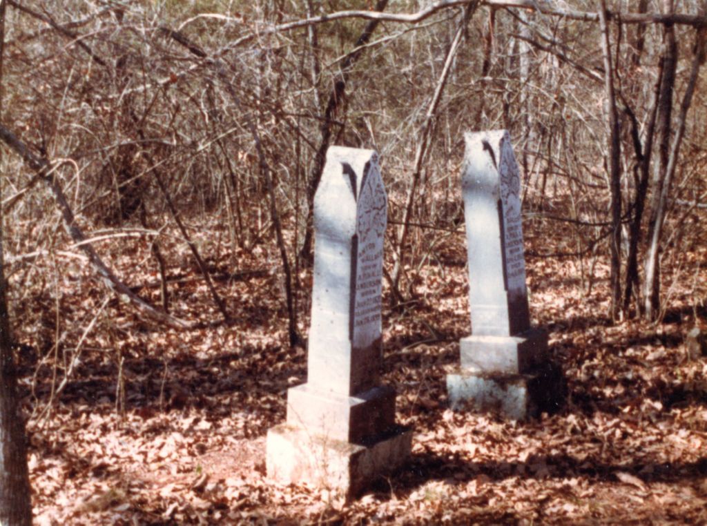
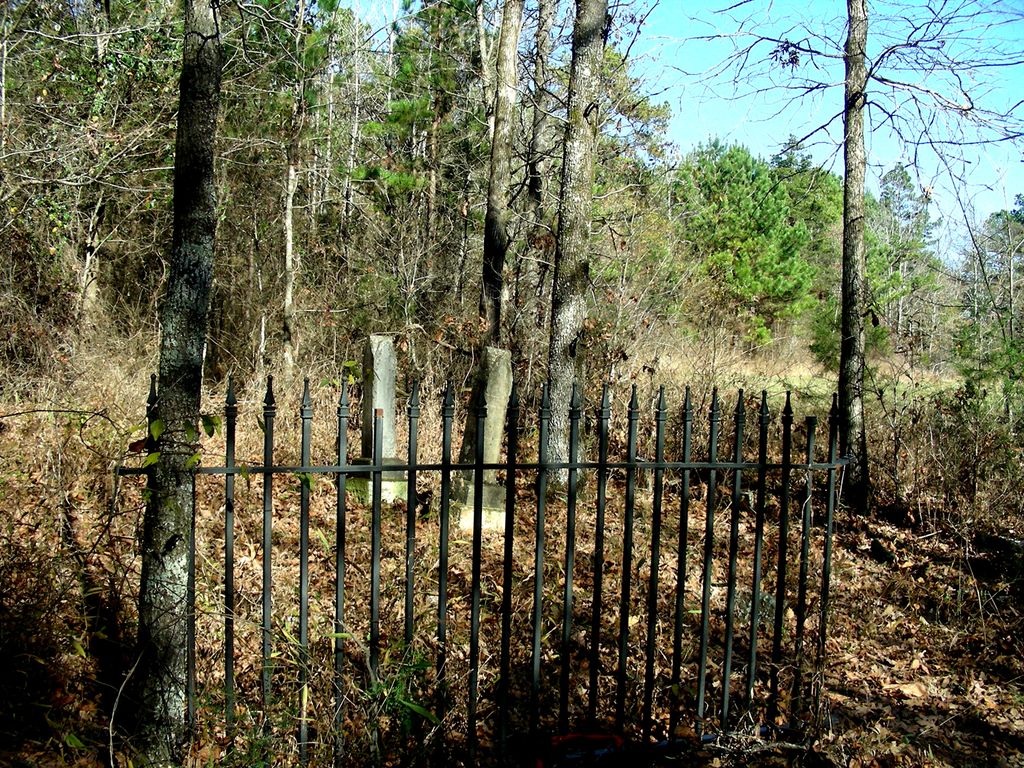
| Memorials | : | 0 |
| Location | : | White Oak, Franklin County, USA |
| Coordinate | : | 35.6178900, -93.8694300 |
| Description | : | From Ozark, Arkansas, take Highway 23 North to Turner’s Bend; continue on Highway 23 for ½ mile past Turner’s Bend. Turn left onto Forest Service Road #1501 (Jethro Road) and go 4 ½ miles. Turn left (south) on Forest Service Road 1562A which goes through private property as well as Forest Service land. After about ½ mile you will come to a locked gate with “No trespassing” on it. The cemetery is located about 3/4 mile after this gate. The cemetery is on the right side of the road about 300 feet from the roadway.... Read More |
frequently asked questions (FAQ):
-
Where is Anton Peter Anderson Cemetery?
Anton Peter Anderson Cemetery is located at White Oak, Franklin County ,Arkansas ,USA.
-
Anton Peter Anderson Cemetery cemetery's updated grave count on graveviews.com?
0 memorials
-
Where are the coordinates of the Anton Peter Anderson Cemetery?
Latitude: 35.6178900
Longitude: -93.8694300
Nearby Cemetories:
1. McLaughlin Cemetery
Franklin County, USA
Coordinate: 35.6021996, -93.8741989
2. Oak Ridge Cemetery
Ozark, Franklin County, USA
Coordinate: 35.6116982, -93.8927994
3. Milton Cemetery
Franklin County, USA
Coordinate: 35.6409900, -93.8676100
4. Childers Cemetery
Franklin County, USA
Coordinate: 35.6347008, -93.8339005
5. Campbell Cemetery
Jethro, Franklin County, USA
Coordinate: 35.6244011, -93.9100037
6. Harris Cemetery
Franklin County, USA
Coordinate: 35.5946999, -93.8311005
7. James Cemetery
Watalula, Franklin County, USA
Coordinate: 35.5983090, -93.8268967
8. Plymale - Barnes Cemetery
Franklin County, USA
Coordinate: 35.6381980, -93.8190220
9. Plymale Cemetery
Franklin County, USA
Coordinate: 35.6391983, -93.8178024
10. West View Cemetery
Mountain Top, Franklin County, USA
Coordinate: 35.6007996, -93.8082962
11. Turner Bend Cemetery
Cass, Franklin County, USA
Coordinate: 35.6613998, -93.8283005
12. Duncan Cemetery
Ozark, Franklin County, USA
Coordinate: 35.5588989, -93.8503036
13. Elias Turner Cemetery
Cass, Franklin County, USA
Coordinate: 35.6733017, -93.8356018
14. Morgan Cemetery
Franklin County, USA
Coordinate: 35.6617012, -93.8097000
15. Threadgill Cemetery
Franklin County, USA
Coordinate: 35.5527992, -93.8985977
16. Alexander McLaughlin Cemetery
White Oak, Franklin County, USA
Coordinate: 35.5493590, -93.8847180
17. Handchew Cemetery
Franklin County, USA
Coordinate: 35.6021996, -93.7855988
18. Lessley Cemetery
Cravens, Franklin County, USA
Coordinate: 35.5575790, -93.9138030
19. Belt Cemetery
Ozark, Franklin County, USA
Coordinate: 35.5669370, -93.8097460
20. McIroy Cemetery
Franklin County, USA
Coordinate: 35.6805992, -93.8274994
21. McAnally Cemetery
Ozark, Franklin County, USA
Coordinate: 35.5578003, -93.8210983
22. Shores Cemetery
Cass, Franklin County, USA
Coordinate: 35.6399994, -93.9569016
23. Bourland Cemetery
White Oak, Franklin County, USA
Coordinate: 35.5463982, -93.9233017
24. Williams Cemetery
Etna, Franklin County, USA
Coordinate: 35.5367500, -93.8965900


