| Memorials | : | 0 |
| Location | : | Camp Grove, Marshall County, USA |
| Coordinate | : | 41.0744667, -89.6330719 |
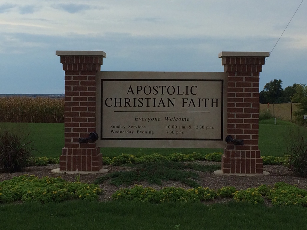
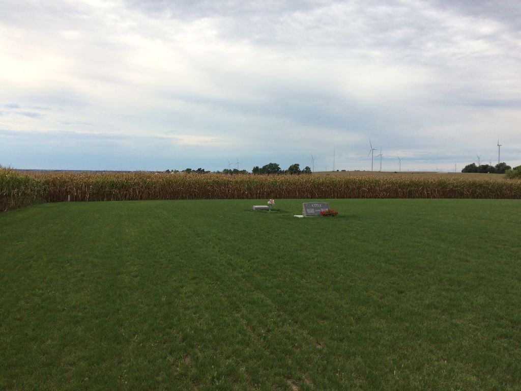
| Description | : | The Marshall County Zoning Board of Appeals on Thursday night recommended approval of a congregation's plan to build a new church and establish an adjacent cemetery on a site near the county-line community of Camp Grove. The board voted unanimously to support the request by Apostolic Christian Faith Church for a zoning change and a special-use permit for a 5-acre site at 218 Illinois Route 40, which is near the intersection where that highway divides with Illinois Route 17 near the Marshall-Stark County line. Peoria Journal Star, The (IL) - Saturday, August 17, 2013 |
frequently asked questions (FAQ):
-
Where is Apostolic Christian Faith Cemetery?
Apostolic Christian Faith Cemetery is located at Camp Grove, Marshall County ,Illinois ,USA.
-
Apostolic Christian Faith Cemetery cemetery's updated grave count on graveviews.com?
0 memorials
-
Where are the coordinates of the Apostolic Christian Faith Cemetery?
Latitude: 41.0744667
Longitude: -89.6330719
Nearby Cemetories:
1. Saint Patrick Cemetery
Marshall County, USA
Coordinate: 41.0616989, -89.6205978
2. Grant Cemetery
Stark County, USA
Coordinate: 41.0772480, -89.6573000
3. Camp Grove Prairie Preserve
Camp Grove, Marshall County, USA
Coordinate: 41.0468480, -89.6304450
4. Eagleston Cemetery
Castleton, Stark County, USA
Coordinate: 41.0978012, -89.6866989
5. Saratoga United Methodist Cemetery
Camp Grove, Marshall County, USA
Coordinate: 41.0878590, -89.5733360
6. LaPrairie Methodist Cemetery
Sparland, Marshall County, USA
Coordinate: 41.0247550, -89.5911920
7. Pleasant Valley Cemetery
Stark County, USA
Coordinate: 41.0750008, -89.7164001
8. LaPrairie United Presbyterian Cemetery
Sparland, Marshall County, USA
Coordinate: 41.0238630, -89.5634230
9. Lawn Ridge Cemetery
Marshall County, USA
Coordinate: 40.9880981, -89.6314011
10. Champion Cemetery
Stark County, USA
Coordinate: 41.1481018, -89.6956024
11. Saint Dominics Cemetery
Wyoming, Stark County, USA
Coordinate: 41.0586014, -89.7544022
12. Mansfield Cemetery
Marshall County, USA
Coordinate: 41.0894012, -89.5108032
13. Saint John Cemetery
Bradford, Stark County, USA
Coordinate: 41.1631012, -89.6774979
14. Snareville Cemetery
Stark County, USA
Coordinate: 41.1128006, -89.7510986
15. Fox Cemetery
Speer, Stark County, USA
Coordinate: 40.9892440, -89.6971040
16. Mead Cemetery
Camp Grove, Marshall County, USA
Coordinate: 41.0520750, -89.5054860
17. Mead Cemetery
Marshall County, USA
Coordinate: 41.0475680, -89.5047140
18. Whitefield Cemetery
Henry, Marshall County, USA
Coordinate: 41.1100121, -89.5033875
19. Bradford Apostolic Church Cemetery
Bradford, Stark County, USA
Coordinate: 41.1788300, -89.6476800
20. Mound Cemetery
Bureau, Bureau County, USA
Coordinate: 41.1741590, -89.5823280
21. Smith Cemetery
Osceola Township, Stark County, USA
Coordinate: 41.1486015, -89.7356033
22. Bradford Cemetery
Bradford, Stark County, USA
Coordinate: 41.1838875, -89.6586075
23. Wyoming Cemetery
Wyoming, Stark County, USA
Coordinate: 41.0599403, -89.7828903
24. Woertz Cemetery (Defunct)
Princeville, Peoria County, USA
Coordinate: 40.9611047, -89.6871515


