
| Memorials | : | 0 |
| Location | : | Arlon, Arrondissement d'Arlon, Belgium |
| Coordinate | : | 49.6919100, 5.8174300 |
| Description | : | The town of Arlon is located off the E25 motorway which runs between Liege and Luxembourg. From the motorway E25 turn off at junction 31 onto the N82 in the direction of Arlon and follow this road to the junction with the N4. Turn right onto the N4, towards Arlon centre. At the roundabout, take first turning right into rue de Bastogne, then take left turn into rue des deux Luxembourg. At junction under bridge, turn left into rue de Diekirch, then take the second turning left into Chemin de Bonnert. The cemetery entrance is directly ahead. |
frequently asked questions (FAQ):
-
Where is Arlon Communal Cemetery?
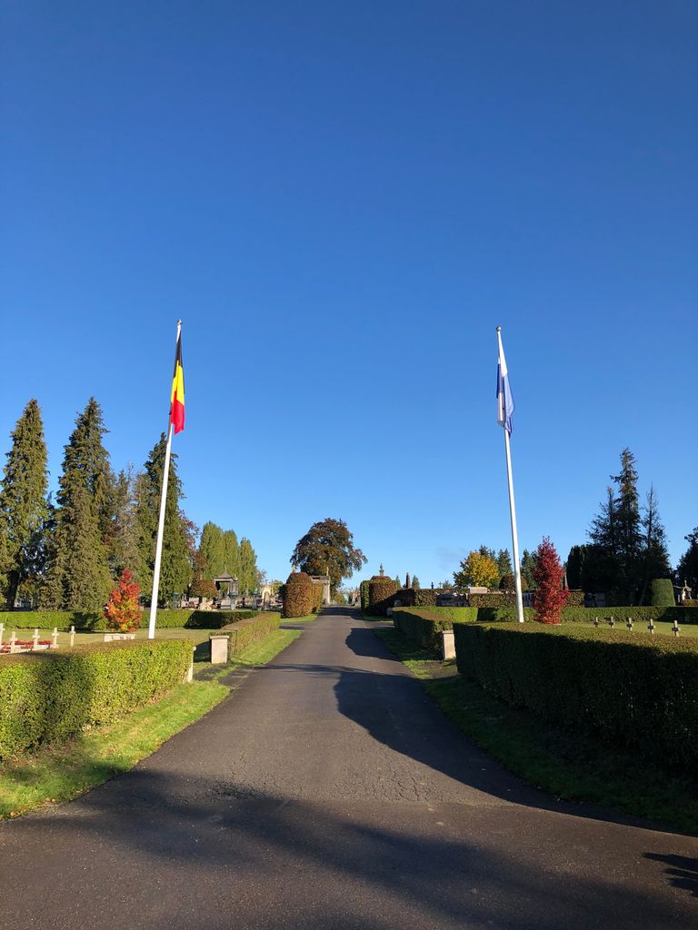
Arlon Communal Cemetery is located at Arlon, Arrondissement d'Arlon ,Luxembourg ,Belgium.
-
Arlon Communal Cemetery cemetery's updated grave count on graveviews.com?
0 memorials
-
Where are the coordinates of the Arlon Communal Cemetery?
Latitude: 49.6919100
Longitude: 5.8174300
Nearby Cemetories:
1. Stockem Cemetery
Arlon, Arrondissement d'Arlon, Belgium
Coordinate: 49.6816200, 5.7705500
2. Guirsch Churchyard
Arlon, Arrondissement d'Arlon, Belgium
Coordinate: 49.7181100, 5.8523500
3. Abbaye de Clairefontaine
Arlon, Arrondissement d'Arlon, Belgium
Coordinate: 49.6658300, 5.8659720
4. cimetière de Toernich
Arlon, Arrondissement d'Arlon, Belgium
Coordinate: 49.6510155, 5.7827381
5. Sterpenich Cemetery
Arlon, Arrondissement d'Arlon, Belgium
Coordinate: 49.6497751, 5.8890265
6. Fouches Cemetery
Arlon, Arrondissement d'Arlon, Belgium
Coordinate: 49.6929014, 5.7090405
7. Cimetière Communal d'Ell
Ell, Canton de Redange, Luxembourg
Coordinate: 49.7626659, 5.8526296
8. Cimetière de Redange
Redange-sur-Attert, Canton de Redange, Luxembourg
Coordinate: 49.7633470, 5.8882370
9. Cimetiere de Koerich
Koerich, Canton de Capellen, Luxembourg
Coordinate: 49.6683130, 5.9502520
10. Vance Cemetery
Étalle, Arrondissement de Virton, Belgium
Coordinate: 49.6693402, 5.6747970
11. Simmer-Septfontaines New Cemetery
Septfontaines, Canton de Capellen, Luxembourg
Coordinate: 49.6956590, 5.9647390
12. Simmer-Septfontaines Old Cemetery
Septfontaines, Canton de Capellen, Luxembourg
Coordinate: 49.6996320, 5.9645300
13. Messancy Churchyard
Messancy, Arrondissement d'Arlon, Belgium
Coordinate: 49.5909600, 5.8130800
14. Greisch Cemetery
Greisch, Canton de Capellen, Luxembourg
Coordinate: 49.7086980, 5.9888040
15. Battincourt Cemetery
Aubange, Arrondissement d'Arlon, Belgium
Coordinate: 49.5824600, 5.7645500
16. Holtz Catholic Church
Holtz, Canton de Redange, Luxembourg
Coordinate: 49.8060629, 5.7887440
17. Garnich
Garnich, Canton de Capellen, Luxembourg
Coordinate: 49.6128790, 5.9486460
18. Cimetiere de Nospelt
Nospelt, Canton de Capellen, Luxembourg
Coordinate: 49.6739662, 6.0074374
19. Folschette Churchyard
Rambrouch, Canton de Redange, Luxembourg
Coordinate: 49.8299700, 5.8467200
20. Schouweiler
Schouweiler, Canton de Capellen, Luxembourg
Coordinate: 49.5828520, 5.9558340
21. Mamer
Mamer, Canton de Capellen, Luxembourg
Coordinate: 49.6251120, 6.0138990
22. Petange Cemetery
Petange, Canton d'Esch-sur-Alzette, Luxembourg
Coordinate: 49.5525800, 5.8771200
23. Petange La Madelaine Communal Cemetery
Lamadelaine, Canton d'Esch-sur-Alzette, Luxembourg
Coordinate: 49.5467600, 5.8545300
24. Kehlen
Kehlen, Canton de Capellen, Luxembourg
Coordinate: 49.6713150, 6.0443040