
| Memorials | : | 0 |
| Location | : | Rambrouch, Canton de Redange, Luxembourg |
| Coordinate | : | 49.8299700, 5.8467200 |
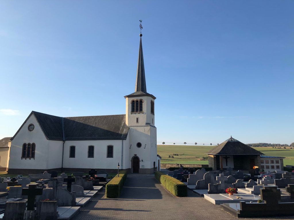
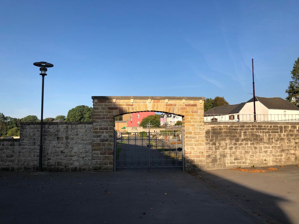
| Description | : | Rambrouch, a village administered by the commune of Folschette about 3 kilometres to the south-east, is situated 45 kilometres north-west of Luxembourg, the capital of the Grand Duchy of Luxembourg. It lies 10 kilometres east of the Belgian border and the main Bastogne-Arlon (Belgium) road. The church stands in Rue Principale, the main road through the village. The churchyard surrounds the church, which stands in the centre of the village. The Commonwealth graves are close to the north-west corner of the church. GPS Co-ordinates: Longitude 05°50'51", Latitude 49°49'48" Folschette Churchyard contains the graves of three airmen of the Second World... Read More |
frequently asked questions (FAQ):
-
Where is Folschette Churchyard?
Folschette Churchyard is located at Rambrouch, Canton de Redange ,Diekirch ,Luxembourg.
-
Folschette Churchyard cemetery's updated grave count on graveviews.com?
0 memorials
-
Where are the coordinates of the Folschette Churchyard?
Latitude: 49.8299700
Longitude: 5.8467200
Nearby Cemetories:
1. Holtz Catholic Church
Holtz, Canton de Redange, Luxembourg
Coordinate: 49.8060629, 5.7887440
2. Cimetière Communal d'Ell
Ell, Canton de Redange, Luxembourg
Coordinate: 49.7626659, 5.8526296
3. Martelange Communal Cemetery
Martelange, Arrondissement d'Arlon, Belgium
Coordinate: 49.8336718, 5.7371335
4. Cimetière de Redange
Redange-sur-Attert, Canton de Redange, Luxembourg
Coordinate: 49.7633470, 5.8882370
5. Grosbous
Grosbous, Canton de Redange, Luxembourg
Coordinate: 49.8245559, 5.9681146
6. Guirsch Churchyard
Arlon, Arrondissement d'Arlon, Belgium
Coordinate: 49.7181100, 5.8523500
7. Cimetière de Boevange-sur-Attert
Boevange-sur-Attert, Canton de Mersch, Luxembourg
Coordinate: 49.7750820, 6.0128340
8. Villers-la-Bonne-Eau Cemetery
Bastogne, Arrondissement de Bastogne, Belgium
Coordinate: 49.9335900, 5.7485400
9. Dahl Cemetery
Dahl, Canton de Wiltz, Luxembourg
Coordinate: 49.9353190, 5.9726590
10. Arlon Communal Cemetery
Arlon, Arrondissement d'Arlon, Belgium
Coordinate: 49.6919100, 5.8174300
11. Lutrebois Cemetery
Bastogne, Arrondissement de Bastogne, Belgium
Coordinate: 49.9593500, 5.7294800
12. Simmer-Septfontaines Old Cemetery
Septfontaines, Canton de Capellen, Luxembourg
Coordinate: 49.6996320, 5.9645300
13. Greisch Cemetery
Greisch, Canton de Capellen, Luxembourg
Coordinate: 49.7086980, 5.9888040
14. Simmer-Septfontaines New Cemetery
Septfontaines, Canton de Capellen, Luxembourg
Coordinate: 49.6956590, 5.9647390
15. Stockem Cemetery
Arlon, Arrondissement d'Arlon, Belgium
Coordinate: 49.6816200, 5.7705500
16. Anlier Churchyard
Habay, Arrondissement de Virton, Belgium
Coordinate: 49.7708160, 5.6200220
17. Bourscheid
Bourscheid, Canton de Diekirch, Luxembourg
Coordinate: 49.9101140, 6.0651400
18. Fouches Cemetery
Arlon, Arrondissement d'Arlon, Belgium
Coordinate: 49.6929014, 5.7090405
19. Abbaye de Clairefontaine
Arlon, Arrondissement d'Arlon, Belgium
Coordinate: 49.6658300, 5.8659720
20. Cimetiere de Koerich
Koerich, Canton de Capellen, Luxembourg
Coordinate: 49.6683130, 5.9502520
21. Cimetiere de Pettingen
Pettingen, Canton de Mersch, Luxembourg
Coordinate: 49.7702427, 6.1083073
22. Sterpenich Cemetery
Arlon, Arrondissement d'Arlon, Belgium
Coordinate: 49.6497751, 5.8890265
23. cimetière de Toernich
Arlon, Arrondissement d'Arlon, Belgium
Coordinate: 49.6510155, 5.7827381
24. Cimetière Ingeldorf
Erpeldange-sur-Sure, Canton de Diekirch, Luxembourg
Coordinate: 49.8534600, 6.1301500