| Memorials | : | 1 |
| Location | : | Saint Joseph, Buchanan County, USA |
| Phone | : | 816-232-3366 |
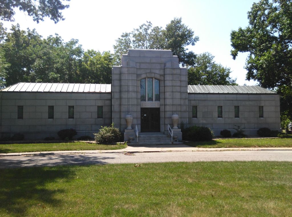
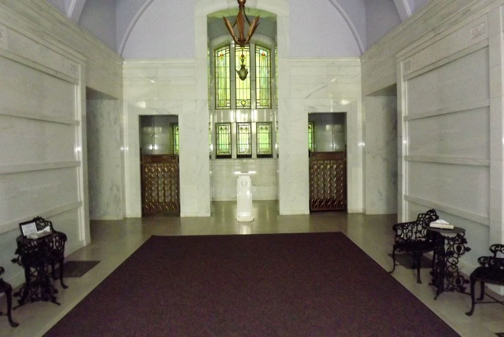
| Description | : | Ashland Mausoleum was started by Mr. Roy O. Lindsay in the late 1930s. The architect was McDonald Lovell of Chicago, Illinois and the Lehr Construction Company built it. In the spring of 1941 the building was complete. The design allowed for 387 crypts and currently there are 361 interred within the walls of this beautiful well kept monument. Mr. Lindsay owned and operated the mausoleum until his passing in 1955 at which time Mrs. Mary F. Lindsay took over the operation until her death in 1983. Eventually the mausoleum was sold to the Meierhoffer Funeral Home and Crematory, 5005... Read More |
frequently asked questions (FAQ):
-
Where is Ashland Mausoleum?
Ashland Mausoleum is located at 2226 Ashland Avenue Saint Joseph, Buchanan County ,Missouri , 64506USA.
-
Ashland Mausoleum cemetery's updated grave count on graveviews.com?
1 memorials
Nearby Cemetories:
1. Courtney Cemetery
Buchanan County, USA
Coordinate: 39.7971992, -94.6303024
2. Bethel Cemetery
De Kalb, Buchanan County, USA
Coordinate: 39.6650009, -94.6074982
3. Brumley Cemetery
De Kalb, Buchanan County, USA
Coordinate: 39.6622009, -94.8161011
4. Callahan Cemetery
De Kalb, Buchanan County, USA
Coordinate: 39.5325700, -94.8264400
5. Davis Cemetery (East)
De Kalb, Buchanan County, USA
6. Davis Cemetery West
De Kalb, Buchanan County, USA
7. James Ellison Family Cemetery
De Kalb, Buchanan County, USA
Coordinate: 39.6434402, -94.7420120
8. Peter A. Jones Cemetery
De Kalb, Buchanan County, USA
Coordinate: 39.7041618, -94.7755183
9. Roberts Cemetery
De Kalb, Buchanan County, USA
Coordinate: 39.6116982, -94.7397003
10. Stele Cemetery
De Kalb, Buchanan County, USA
11. Wallingford Grave
De Kalb, Buchanan County, USA
Coordinate: 39.5983009, -94.7605972
12. West Lawn Cemetery
De Kalb, Buchanan County, USA
Coordinate: 39.5377200, -94.6378300
13. Saint Marys Cemetery
Hurlingen, Buchanan County, USA
Coordinate: 39.7971992, -94.6303024
14. New Harmony Cemetery
Buchanan County, USA
Coordinate: 39.6650009, -94.6074982
15. Parker Cemetery
Buchanan County, USA
Coordinate: 39.6622009, -94.8161011
16. Richardson Cemetery
Buchanan County, USA
Coordinate: 39.5325700, -94.8264400
17. Bermond Cemetery
San Antonio, Buchanan County, USA
18. San Antonio Cemetery
San Antonio, Buchanan County, USA
19. Agency Cemetery
Agency, Buchanan County, USA
Coordinate: 39.6434402, -94.7420120
20. Bagby Family Cemetery
Agency, Buchanan County, USA
Coordinate: 39.7041618, -94.7755183
21. Brinton Cemetery
Agency, Buchanan County, USA
Coordinate: 39.6116982, -94.7397003
22. Greenard Cemetery
Agency, Buchanan County, USA
23. Yates Cemetery
Agency, Buchanan County, USA
Coordinate: 39.5983009, -94.7605972
24. McKee Grave
Buchanan County, USA
Coordinate: 39.5377200, -94.6378300


