
| Memorials | : | 4 |
| Location | : | Atoka, Boyle County, USA |
| Coordinate | : | 37.6490600, -84.8782200 |
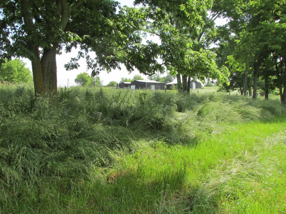
| Description | : | An African-American cemetery was located in the Atoka community in the early 1900s. Some of the oldest residents in Boyle County remember a church and cemetery near the corner of present-day US-150 and the Salt River Road, but nothing apparently remains of either the church or the cemetery. The church that is located nearby, Salt River Baptist, is a different congregation from the Atoka one. This cemetery is located at the end of present-day Old Schoolhouse Road, in the Needmore community. There was a church on the west side of the crest of the hill, and a school... Read More |
frequently asked questions (FAQ):
-
Where is Atoka Cemetery?
Atoka Cemetery is located at Old Schoolhouse Rd Atoka, Boyle County ,Kentucky ,USA.
-
Atoka Cemetery cemetery's updated grave count on graveviews.com?
4 memorials
-
Where are the coordinates of the Atoka Cemetery?
Latitude: 37.6490600
Longitude: -84.8782200
Nearby Cemetories:
1. McGinnis Cemetery
Needmore, Boyle County, USA
Coordinate: 37.6325180, -84.8808000
2. Rains Cemetery
Needmore, Boyle County, USA
Coordinate: 37.6271480, -84.8781390
3. Harlan-James Cemetery
Danville, Boyle County, USA
Coordinate: 37.6708540, -84.8706530
4. Webster Cemetery
Needmore, Boyle County, USA
Coordinate: 37.6196700, -84.8935030
5. Caldwell-Irvine Cemetery
Danville, Boyle County, USA
Coordinate: 37.6240350, -84.8509720
6. Harlan Family Graveyard
Danville, Boyle County, USA
Coordinate: 37.6839330, -84.8721500
7. Old Parksville Cemetery
Parksville, Boyle County, USA
Coordinate: 37.6112060, -84.8633340
8. Moore Cemetery
Parksville, Boyle County, USA
Coordinate: 37.6110530, -84.8636770
9. Parker Cemetery #2
Perryville, Boyle County, USA
Coordinate: 37.6333306, -84.9265172
10. May Cemetery #03
Boyle County, USA
Coordinate: 37.6833458, -84.9082642
11. Old Salt River Baptist Church Cemetery
Boyle County, USA
Coordinate: 37.6917000, -84.8720500
12. Ludwick Family Cemetery
Boyle County, USA
Coordinate: 37.6921410, -84.8832540
13. Parksville Cemetery
Parksville, Boyle County, USA
Coordinate: 37.5980500, -84.8907400
14. Kennedy Cemetery
Parksville, Boyle County, USA
Coordinate: 37.5978700, -84.8604700
15. May Cemetery #01
Wilsonville, Boyle County, USA
Coordinate: 37.5963180, -84.8662250
16. Andrews Graveyard
Wilsonville, Boyle County, USA
Coordinate: 37.5951291, -84.8787390
17. May Graveyard
Nevada, Mercer County, USA
Coordinate: 37.6975740, -84.9092100
18. Carrier Cemetery
Parksville, Boyle County, USA
Coordinate: 37.5953100, -84.8898000
19. Wilsonville Chapel AME Church Cemetery
Wilsonville, Boyle County, USA
Coordinate: 37.5940400, -84.8780700
20. Gray Cemetery
Alum Springs, Boyle County, USA
Coordinate: 37.6041000, -84.8364000
21. Clems Chapel
Alum Springs, Boyle County, USA
Coordinate: 37.5938900, -84.8667900
22. May Cemetery #02
Boyle County, USA
Coordinate: 37.5957417, -84.9064400
23. Caldwell Cemetery #02
Boyle County, USA
Coordinate: 37.6029440, -84.8328210
24. Bethel Cumberland Presbyterian Church Cemetery
Mercer County, USA
Coordinate: 37.7053200, -84.8984330