
| Memorials | : | 0 |
| Location | : | Wilsonville, Boyle County, USA |
| Coordinate | : | 37.5951291, -84.8787390 |
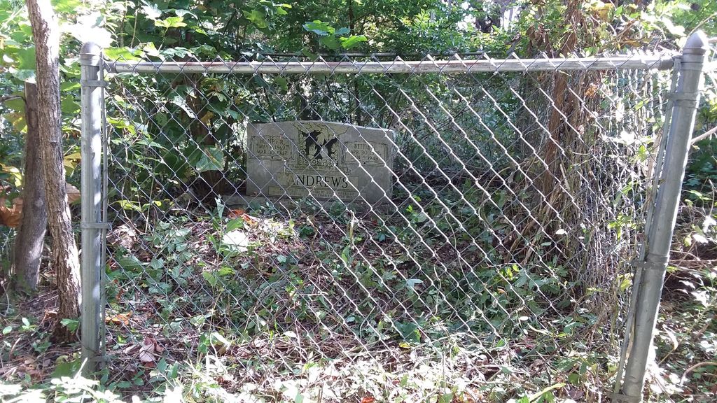
| Description | : | Small African-American cemetery located just north of the former Louisville & Nashville Railroad Bed, between the railroad and Kentucky Route 300. Wilsonville was a Black community created after the Civil War, and there were many Andrews (and related) families in the area. This cemetery is within easy walking distance from the Wilsonville African American Cemetery. |
frequently asked questions (FAQ):
-
Where is Andrews Graveyard?
Andrews Graveyard is located at Wilsonville, Boyle County ,Kentucky ,USA.
-
Andrews Graveyard cemetery's updated grave count on graveviews.com?
0 memorials
-
Where are the coordinates of the Andrews Graveyard?
Latitude: 37.5951291
Longitude: -84.8787390
Nearby Cemetories:
1. Wilsonville Chapel AME Church Cemetery
Wilsonville, Boyle County, USA
Coordinate: 37.5940400, -84.8780700
2. Carrier Cemetery
Parksville, Boyle County, USA
Coordinate: 37.5953100, -84.8898000
3. Clems Chapel
Alum Springs, Boyle County, USA
Coordinate: 37.5938900, -84.8667900
4. Parksville Cemetery
Parksville, Boyle County, USA
Coordinate: 37.5980500, -84.8907400
5. May Cemetery #01
Wilsonville, Boyle County, USA
Coordinate: 37.5963180, -84.8662250
6. Kennedy Cemetery
Parksville, Boyle County, USA
Coordinate: 37.5978700, -84.8604700
7. Clemmons Cemetery
Alum Springs, Boyle County, USA
Coordinate: 37.5830180, -84.8662090
8. McDonald Center Church Cemetery
Junction City, Boyle County, USA
Coordinate: 37.5835900, -84.8623400
9. Moore Cemetery
Parksville, Boyle County, USA
Coordinate: 37.6110530, -84.8636770
10. Old Parksville Cemetery
Parksville, Boyle County, USA
Coordinate: 37.6112060, -84.8633340
11. May Cemetery #02
Boyle County, USA
Coordinate: 37.5957417, -84.9064400
12. Faith Chapel Cemetery
Parksville, Boyle County, USA
Coordinate: 37.5913960, -84.9100400
13. Strevell Cemetery
Mitchellsburg, Boyle County, USA
Coordinate: 37.5859420, -84.9087810
14. Webster Cemetery
Needmore, Boyle County, USA
Coordinate: 37.6196700, -84.8935030
15. Zion Hill AME Church Cemetery
Alum Springs, Boyle County, USA
Coordinate: 37.5897680, -84.8429600
16. Chestnut Grove Church Cemetery
Parksville, Boyle County, USA
Coordinate: 37.5747871, -84.9058609
17. Old Mount Freeman Cemetery
Alum Springs, Boyle County, USA
Coordinate: 37.5697200, -84.8570600
18. Jones Cemetery
Alum Springs, Boyle County, USA
Coordinate: 37.5882550, -84.8399880
19. Rains Cemetery
Needmore, Boyle County, USA
Coordinate: 37.6271480, -84.8781390
20. Wilson Cemetery #4
Boyle County, USA
Coordinate: 37.5628014, -84.8807983
21. Gray Cemetery
Alum Springs, Boyle County, USA
Coordinate: 37.6041000, -84.8364000
22. Caldwell-Irvine Cemetery
Danville, Boyle County, USA
Coordinate: 37.6240350, -84.8509720
23. Caldwell Cemetery #02
Boyle County, USA
Coordinate: 37.6029440, -84.8328210
24. McGinnis Cemetery
Needmore, Boyle County, USA
Coordinate: 37.6325180, -84.8808000