
| Memorials | : | 182 |
| Location | : | Kidsgrove, Newcastle-Under-Lyme Borough, England |
| Coordinate | : | 53.0889200, -2.2350700 |
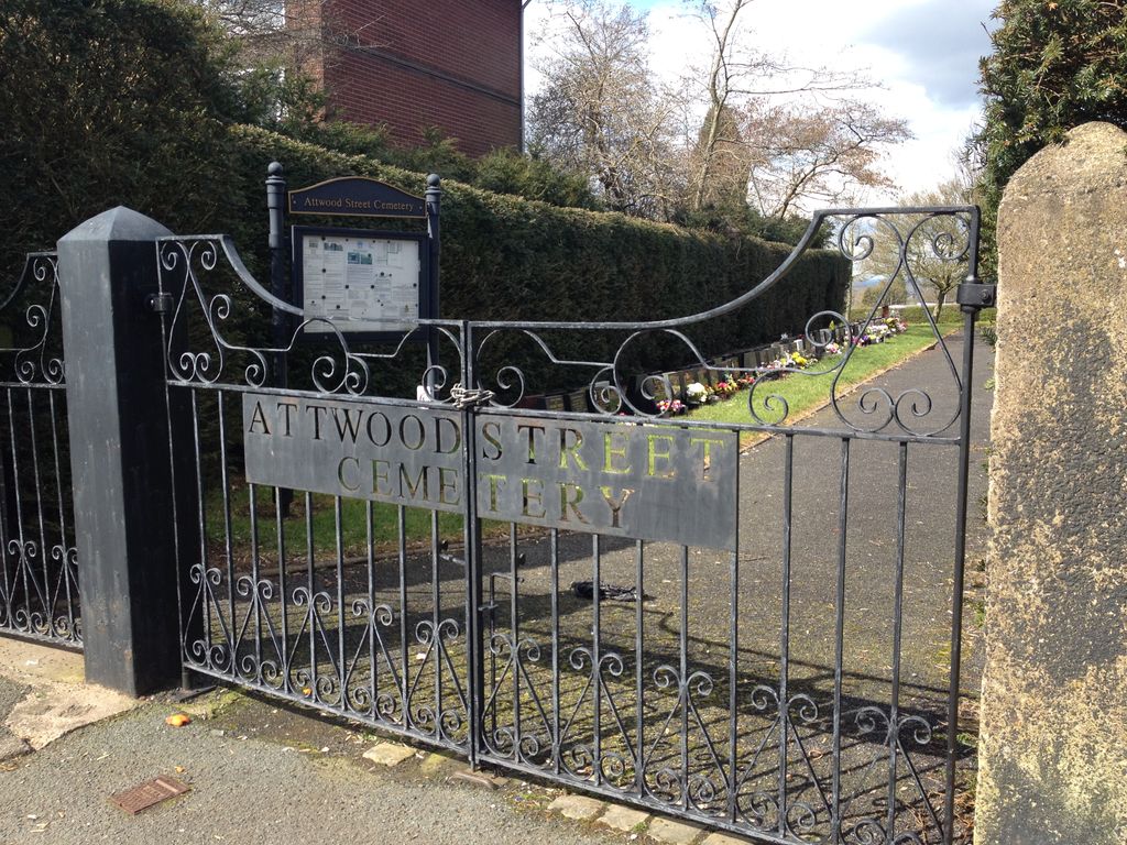
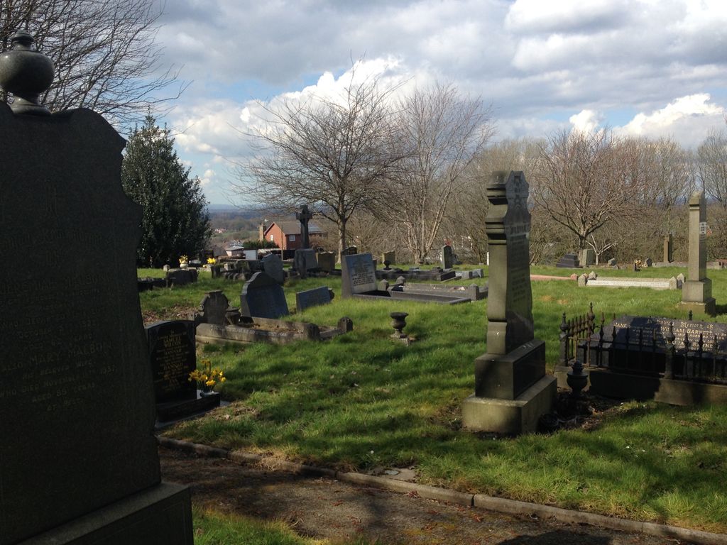
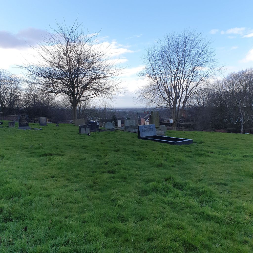
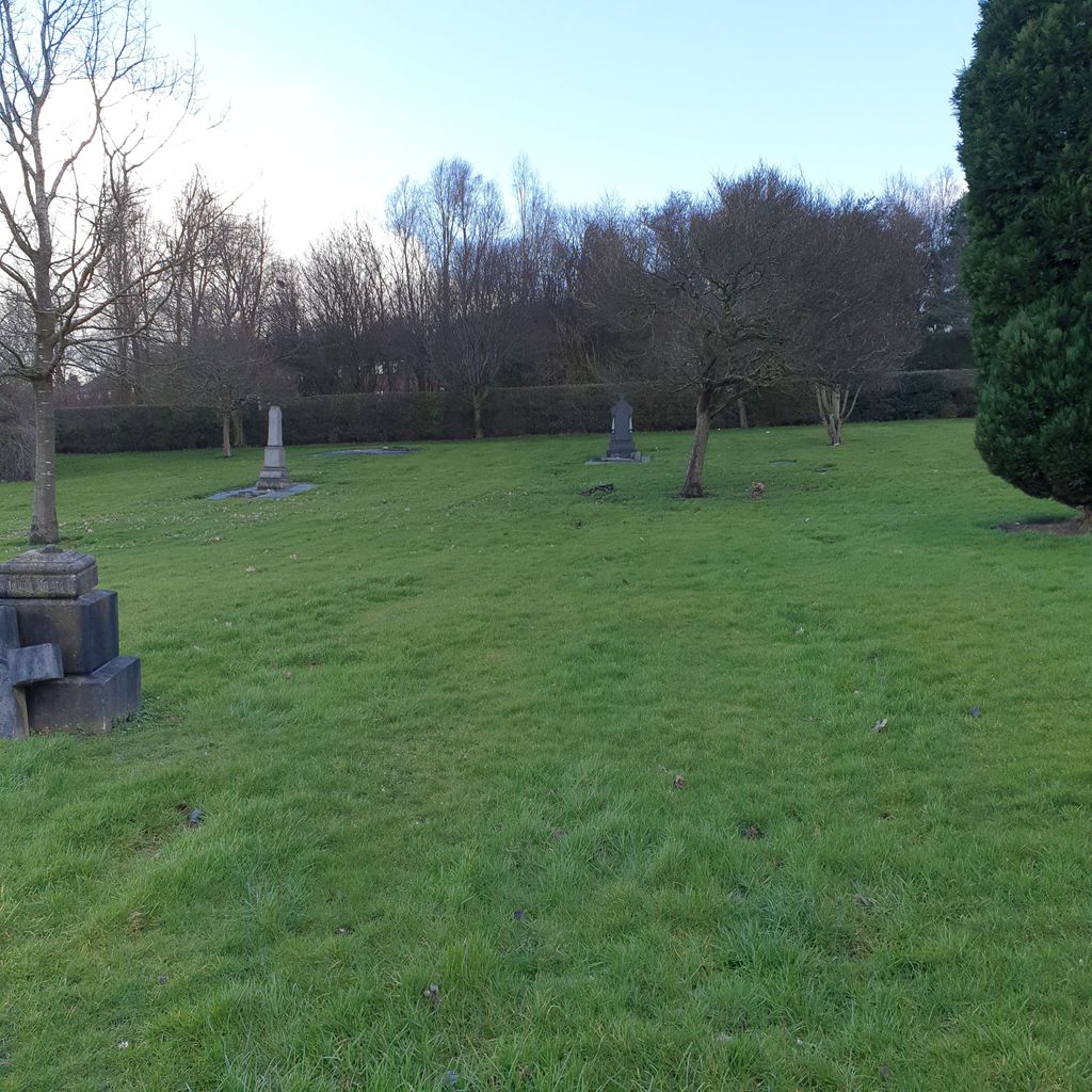
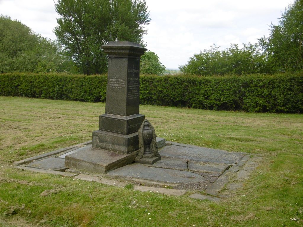
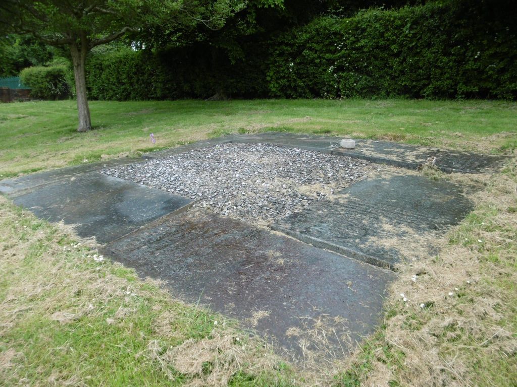
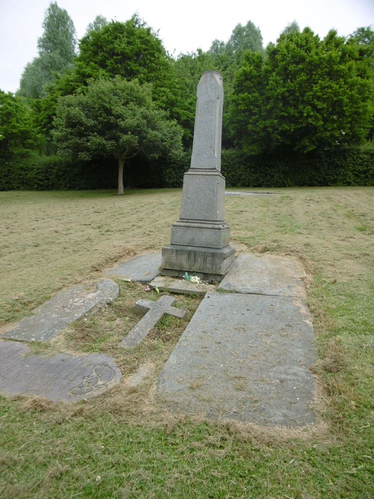
| Description | : | Also known as Attwood Street Cemetery; now a civil cemetery, I have found reference to it initially being a Methodist burial ground. It was opened on 24th June, 1851. The entrance is via a gateway (driveway width) between buildings, & the main cemetery is located behind buildings on Attwood Rise. There is no vehicle access (except by arrangement, eg: hearses & Council servicing vehicles). Records for this cemetery are viewable by appointment & are kept at Keele Cemetery in their Family Research Room. Keele Cemetery, Keele Road Keele Newcastle-under-Lyme Staffordshire United Kingdom ST5 5AB Record are also available to view via microfiche at the Stoke on Trent City... Read More |
frequently asked questions (FAQ):
-
Where is Attwood Cemetery?
Attwood Cemetery is located at Attwood Rise Kidsgrove, Newcastle-Under-Lyme Borough ,Staffordshire , ST7 4BLEngland.
-
Attwood Cemetery cemetery's updated grave count on graveviews.com?
165 memorials
-
Where are the coordinates of the Attwood Cemetery?
Latitude: 53.0889200
Longitude: -2.2350700

Nearby Cemetories:
1. St. James the Apostle Churchyard
Newchapel, Newcastle-Under-Lyme Borough, England
Coordinate: 53.0874630, -2.2069790
2. St. John the Evangelist Churchyard
Goldenhill, Stoke-on-Trent Unitary Authority, England
Coordinate: 53.0749010, -2.2189830
3. St Martin Churchyard
Talke, Newcastle-Under-Lyme Borough, England
Coordinate: 53.0755440, -2.2618170
4. All Saints Churchyard
Church Lawton, Cheshire East Unitary Authority, England
Coordinate: 53.0987050, -2.2679300
5. St Thomas Churchyard
Mow Cop, Newcastle-Under-Lyme Borough, England
Coordinate: 53.1127280, -2.2101350
6. Tunstall Cemetery
Tunstall, Stoke-on-Trent Unitary Authority, England
Coordinate: 53.0618690, -2.2180260
7. Christ Church Churchyard
Tunstall, Stoke-on-Trent Unitary Authority, England
Coordinate: 53.0625400, -2.2112840
8. All Saints Churchyard
Odd Rode, Cheshire East Unitary Authority, England
Coordinate: 53.1142100, -2.2644690
9. St Mary Magdalene Churchyard
Alsager, Cheshire East Unitary Authority, England
Coordinate: 53.0960640, -2.3071370
10. Audley Methodist Church Cemetery
Bignall End, Newcastle-Under-Lyme Borough, England
Coordinate: 53.0574320, -2.2944720
11. Holy Trinity Churchyard
Chesterton, Stratford-on-Avon District, England
Coordinate: 53.0418320, -2.2523770
12. Christ Church Churchyard
Alsager, Cheshire East Unitary Authority, England
Coordinate: 53.0977630, -2.3166660
13. St John the Baptist Churchyard
Burslem, Stoke-on-Trent Unitary Authority, England
Coordinate: 53.0425850, -2.1962510
14. St James the Great Churchyard
Audley, Newcastle-Under-Lyme Borough, England
Coordinate: 53.0548480, -2.3014800
15. Parish church of st saviour smallthorne
Smallthorne, Stoke-on-Trent Unitary Authority, England
Coordinate: 53.0497445, -2.1758707
16. St Bartholomew Churchyard
Norton in the Moors, Stoke-on-Trent Unitary Authority, England
Coordinate: 53.0604630, -2.1595270
17. Smallthorne Cemetery
Smallthorne, Stoke-on-Trent Unitary Authority, England
Coordinate: 53.0480310, -2.1765950
18. Chesterton Cemetery
Newcastle-under-Lyme, Newcastle-Under-Lyme Borough, England
Coordinate: 53.0352240, -2.2500500
19. St Anne Churchyard
Brown Edge, Staffordshire Moorlands District, England
Coordinate: 53.0832490, -2.1429880
20. Burslem Cemetery
Burslem, Stoke-on-Trent Unitary Authority, England
Coordinate: 53.0463020, -2.1747030
21. Audley Cemetery
Audley, Newcastle-Under-Lyme Borough, England
Coordinate: 53.0550140, -2.3103040
22. St. Lawrence Churchyard
Biddulph, Staffordshire Moorlands District, England
Coordinate: 53.1281320, -2.1659070
23. St John the Baptist Churchyard
Smallwood, Cheshire East Unitary Authority, England
Coordinate: 53.1381700, -2.2913100
24. St Margaret Churchyard
Wolstanton, Newcastle-Under-Lyme Borough, England
Coordinate: 53.0296810, -2.2154990