
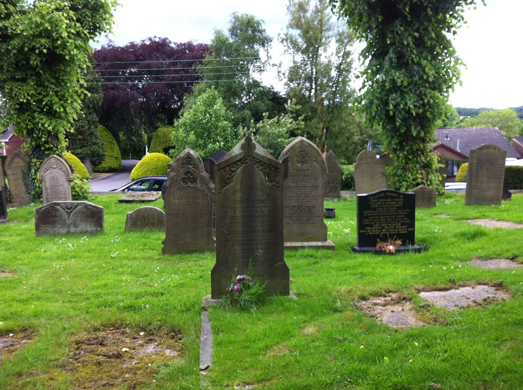
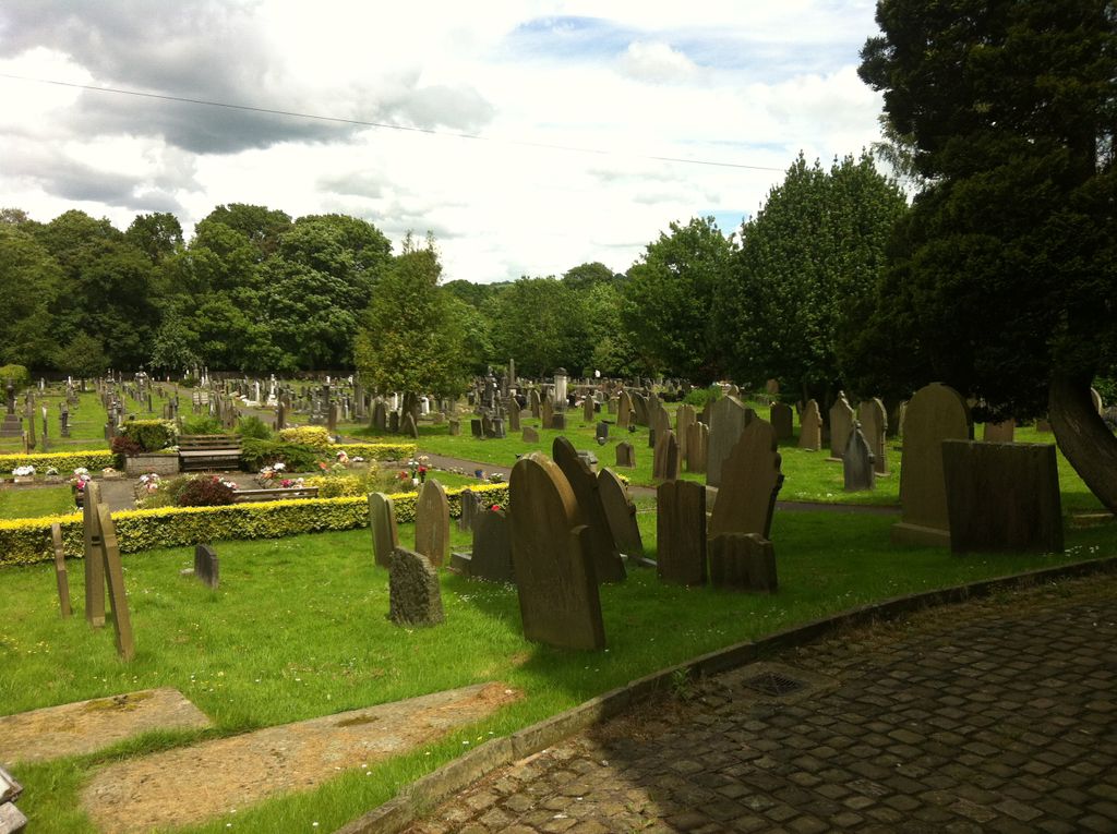
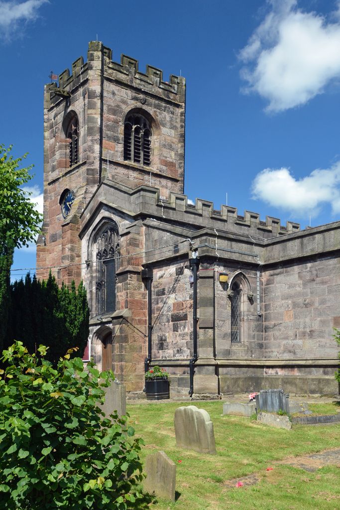
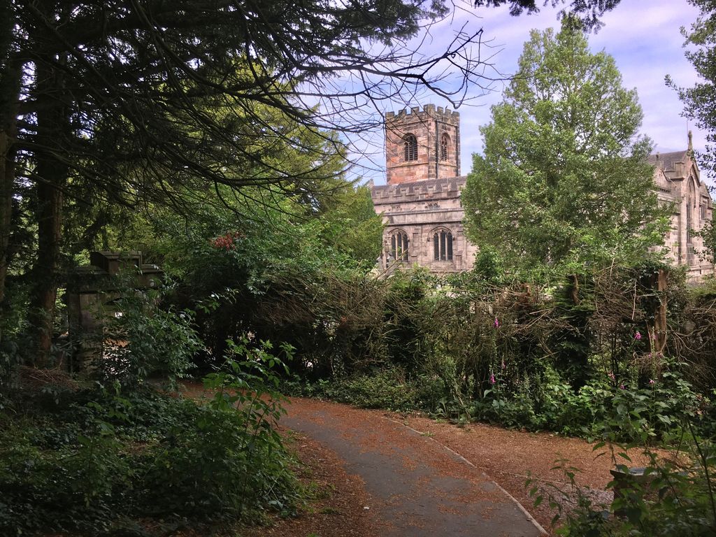
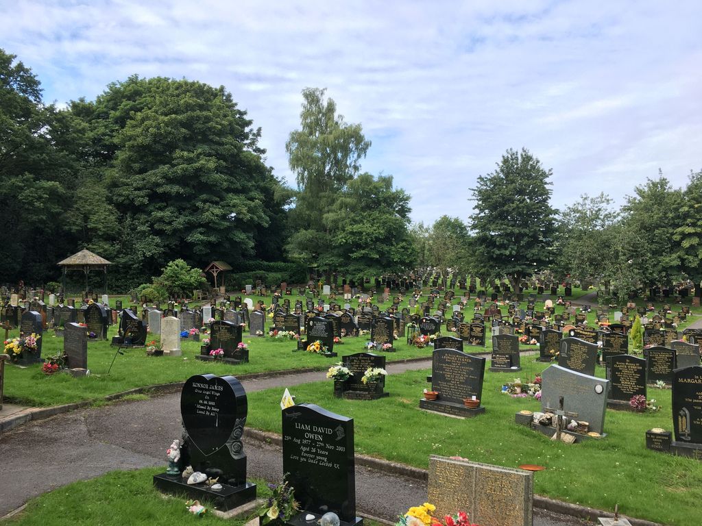
| Memorials | : | 0 |
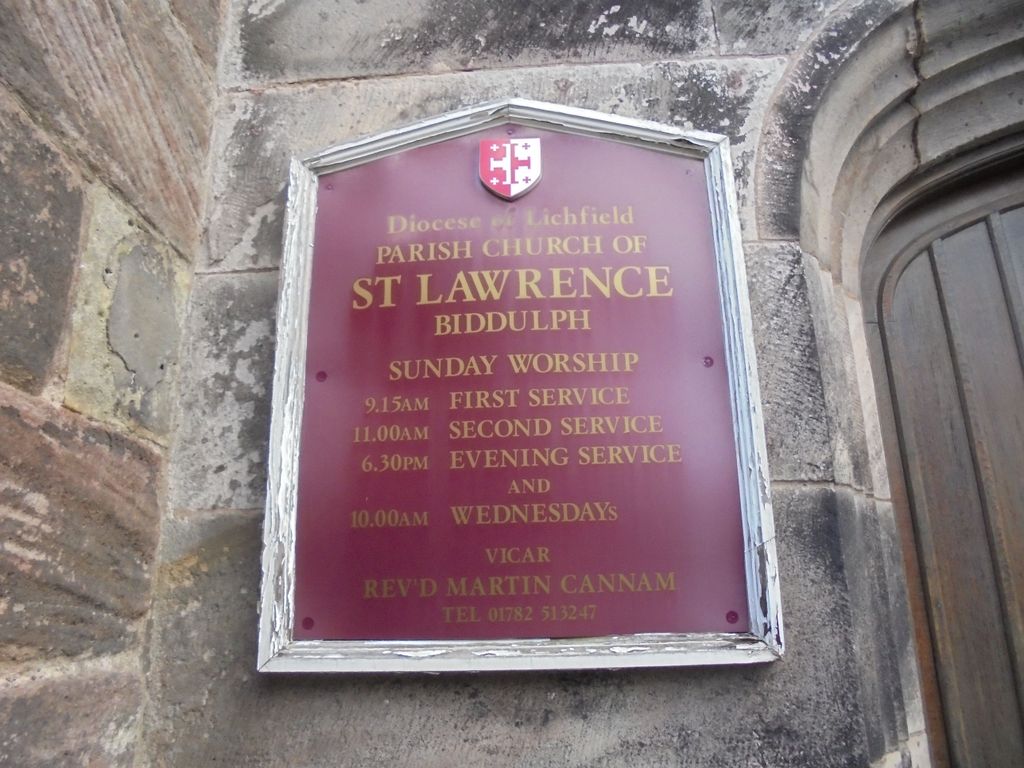
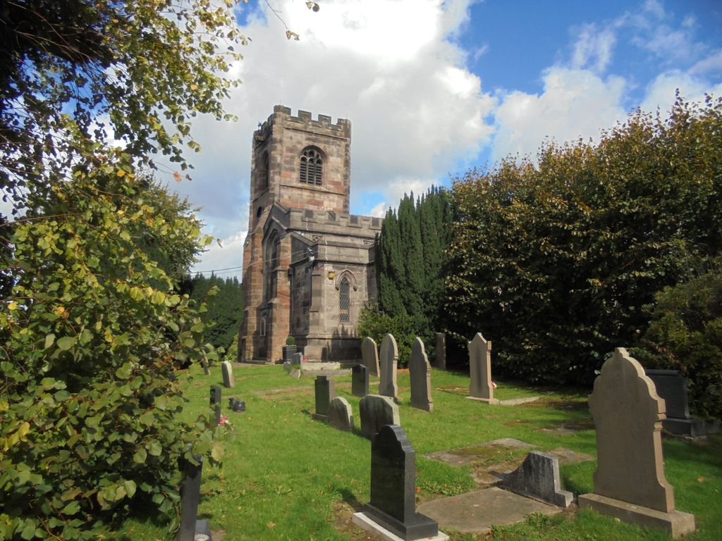
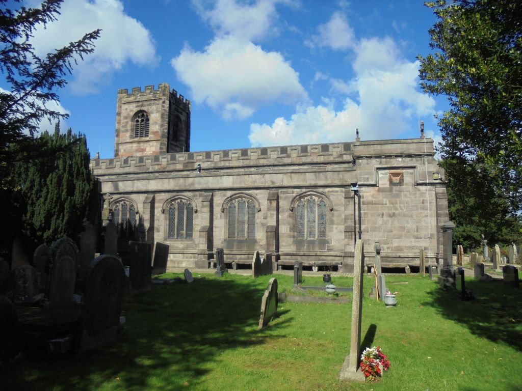
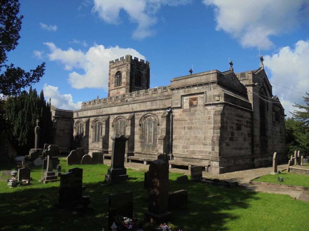
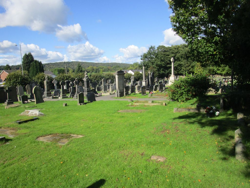
| Location | : | Biddulph, Staffordshire Moorlands District, England |
| Coordinate | : | 53.1281320, -2.1659070 |
frequently asked questions (FAQ):
-
Where is St. Lawrence Churchyard?
St. Lawrence Churchyard is located at Biddulph, Staffordshire Moorlands District ,Staffordshire ,England.
-
St. Lawrence Churchyard cemetery's updated grave count on graveviews.com?
0 memorials
-
Where are the coordinates of the St. Lawrence Churchyard?
Latitude: 53.1281320
Longitude: -2.1659070
Nearby Cemetories:
1. Christ Church Churchyard
Biddulph Moor, Staffordshire Moorlands District, England
Coordinate: 53.1220780, -2.1402320
2. St Thomas Churchyard
Mow Cop, Newcastle-Under-Lyme Borough, England
Coordinate: 53.1127280, -2.2101350
3. Congleton Cemetery
Congleton, Cheshire East Unitary Authority, England
Coordinate: 53.1590430, -2.2112310
4. St Peter's Churchyard
Congleton, Cheshire East Unitary Authority, England
Coordinate: 53.1617900, -2.2115000
5. St Mary Churchyard
Astbury, Cheshire East Unitary Authority, England
Coordinate: 53.1506310, -2.2314410
6. St John the Evangelist Churchyard
Buglawton, Cheshire East Unitary Authority, England
Coordinate: 53.1701320, -2.1959370
7. St Anne Churchyard
Brown Edge, Staffordshire Moorlands District, England
Coordinate: 53.0832490, -2.1429880
8. St. James the Apostle Churchyard
Newchapel, Newcastle-Under-Lyme Borough, England
Coordinate: 53.0874630, -2.2069790
9. St Lawrence Churchyard
Rushton Spencer, Staffordshire Moorlands District, England
Coordinate: 53.1556630, -2.0996440
10. St. Michael's Churchyard Extension
Horton, Staffordshire Moorlands District, England
Coordinate: 53.1139430, -2.0878020
11. St. Michael and All Angels Churchyard
Horton, Staffordshire Moorlands District, England
Coordinate: 53.1135330, -2.0879040
12. Attwood Cemetery
Kidsgrove, Newcastle-Under-Lyme Borough, England
Coordinate: 53.0889200, -2.2350700
13. St. Luke's Churchyard
Endon, Staffordshire Moorlands District, England
Coordinate: 53.0812200, -2.1086100
14. All Saints Churchyard
Odd Rode, Cheshire East Unitary Authority, England
Coordinate: 53.1142100, -2.2644690
15. St. John the Evangelist Churchyard
Goldenhill, Stoke-on-Trent Unitary Authority, England
Coordinate: 53.0749010, -2.2189830
16. St. Mary the Virgin Churchyard
Bosley, Cheshire East Unitary Authority, England
Coordinate: 53.1871110, -2.1241630
17. St Bartholomew Churchyard
Norton in the Moors, Stoke-on-Trent Unitary Authority, England
Coordinate: 53.0604630, -2.1595270
18. All Saints Churchyard
Church Lawton, Cheshire East Unitary Authority, England
Coordinate: 53.0987050, -2.2679300
19. Christ Church Churchyard
Tunstall, Stoke-on-Trent Unitary Authority, England
Coordinate: 53.0625400, -2.2112840
20. Tunstall Cemetery
Tunstall, Stoke-on-Trent Unitary Authority, England
Coordinate: 53.0618690, -2.2180260
21. St Chad Churchyard
Longsdon, Staffordshire Moorlands District, England
Coordinate: 53.0887220, -2.0625850
22. St John the Baptist Churchyard
Smallwood, Cheshire East Unitary Authority, England
Coordinate: 53.1381700, -2.2913100
23. St Martin Churchyard
Talke, Newcastle-Under-Lyme Borough, England
Coordinate: 53.0755440, -2.2618170
24. Parish church of st saviour smallthorne
Smallthorne, Stoke-on-Trent Unitary Authority, England
Coordinate: 53.0497445, -2.1758707