
| Memorials | : | 0 |
| Location | : | Baarle-Nassau, Baarle-Nassau Municipality, Netherlands |
| Coordinate | : | 51.4437700, 4.9289200 |
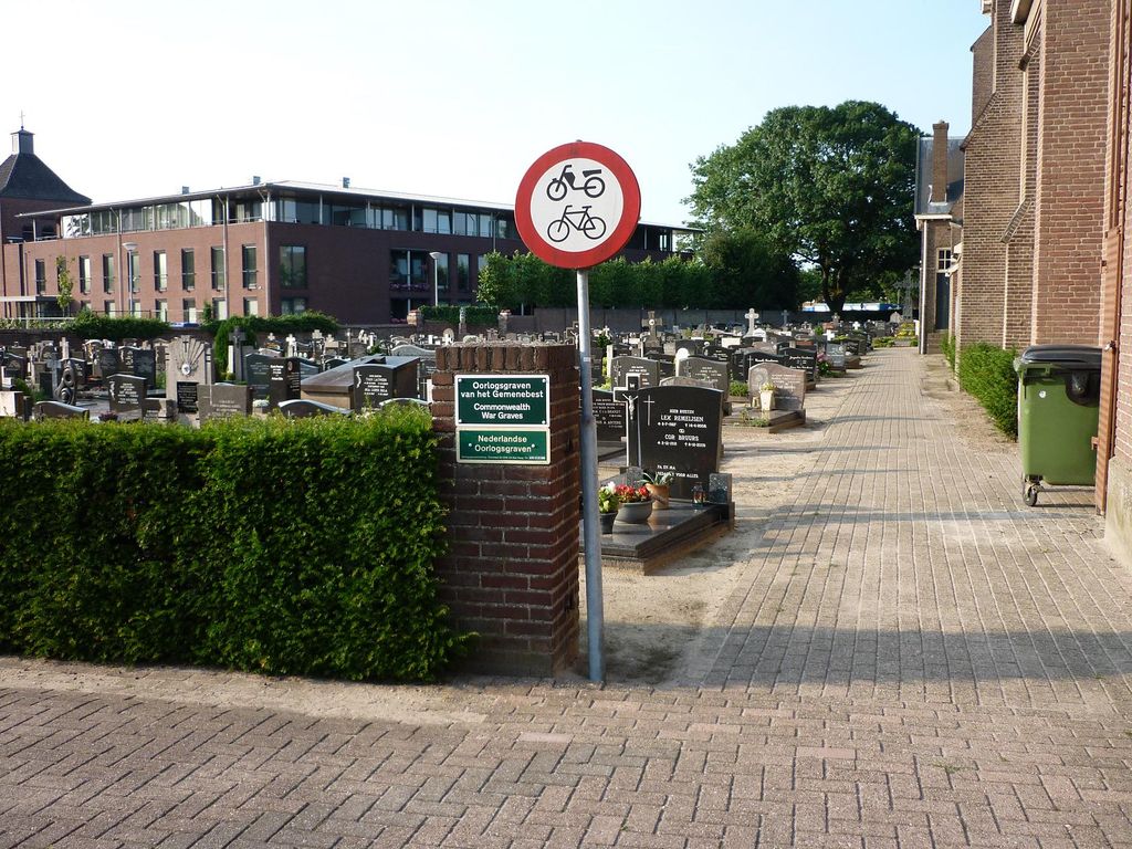
| Description | : | Ulicoten is a small village about 2 kilometres north-west of Baarle-Nassauand 8 kilometres south-east of Breda. The church stands in the centre of the village, on the road to Baarle-Nassau. |
frequently asked questions (FAQ):
-
Where is Baarle-Nassau Roman Catholic Churchyard?
Baarle-Nassau Roman Catholic Churchyard is located at Baarle-Nassau, Baarle-Nassau Municipality ,Noord-Brabant ,Netherlands.
-
Baarle-Nassau Roman Catholic Churchyard cemetery's updated grave count on graveviews.com?
0 memorials
-
Where are the coordinates of the Baarle-Nassau Roman Catholic Churchyard?
Latitude: 51.4437700
Longitude: 4.9289200
Nearby Cemetories:
1. Baarle-Hertog Communal Cemetery
Baarle-Hertog, Arrondissement Turnhout, Belgium
Coordinate: 51.4405432, 4.9324498
2. Zondereigen Cemetery
Baarle-Hertog, Arrondissement Turnhout, Belgium
Coordinate: 51.4084563, 4.8964239
3. Alphen Roman Catholic Cemetery
Alphen-Chaam Municipality, Netherlands
Coordinate: 51.4835500, 4.9527100
4. Ulicoten Roman Catholic Churchyard
Ulicoten, Baarle-Nassau Municipality, Netherlands
Coordinate: 51.4580100, 4.8585400
5. Weelde Sint-Michiels Churchyard
Ravels, Arrondissement Turnhout, Belgium
Coordinate: 51.4082600, 4.9942200
6. Poppel Churchyard
Poppel, Arrondissement Turnhout, Belgium
Coordinate: 51.4459600, 5.0385700
7. Meerle Churchyard
Hoogstraten, Arrondissement Turnhout, Belgium
Coordinate: 51.4741700, 4.8037100
8. Merksplas Communal Cemetery
Merksplas, Arrondissement Turnhout, Belgium
Coordinate: 51.3612800, 4.8635400
9. Gilze-en-rijen Gilze Roman Catholic Cemetery
Gilze, Gilze en Rijen Municipality, Netherlands
Coordinate: 51.5401500, 4.9430200
10. Begraafplaats Nazareth
Turnhout, Arrondissement Turnhout, Belgium
Coordinate: 51.3378626, 4.9118161
11. Minderhout Cemetery
Hoogstraten, Arrondissement Turnhout, Belgium
Coordinate: 51.4150700, 4.7611700
12. Hoogstraten Cemetery
Hoogstraten, Arrondissement Turnhout, Belgium
Coordinate: 51.4002500, 4.7678700
13. Sint-Katharinakerk
Hoogstraten, Arrondissement Turnhout, Belgium
Coordinate: 51.4008900, 4.7620700
14. Goirle Sint-Jan Roman Catholic Cemetery
Goirle, Goirle Municipality, Netherlands
Coordinate: 51.5191200, 5.0652200
15. Goirle Maria Boodschap Roman Catholic Cemetery
Goirle, Goirle Municipality, Netherlands
Coordinate: 51.5259300, 5.0632200
16. Begijnenkerk
Turnhout, Arrondissement Turnhout, Belgium
Coordinate: 51.3266430, 4.9429890
17. Turnhout Communal Cemetery
Turnhout, Arrondissement Turnhout, Belgium
Coordinate: 51.3177600, 4.9573400
18. Beerse Communal Cemetery
Beerse, Arrondissement Turnhout, Belgium
Coordinate: 51.3231700, 4.8470310
19. Gilzerbaan General Cemetery
Tilburg, Tilburg Municipality, Netherlands
Coordinate: 51.5544500, 5.0463600
20. Tilburg Korvel Roman Catholic Cemetery
Tilburg, Tilburg Municipality, Netherlands
Coordinate: 51.5472900, 5.0663900
21. Joodes Begraafplaats
Tilburg Municipality, Netherlands
Coordinate: 51.5590130, 5.0418920
22. Hilvarenbeek Protestant Cemetery
Hilvarenbeek, Hilvarenbeek Municipality, Netherlands
Coordinate: 51.4703400, 5.1414300
23. Oud-Turnhout Communal Cemetery
Oud-Turnhout, Arrondissement Turnhout, Belgium
Coordinate: 51.3149079, 4.9975250
24. Ulvenhout Roman Catholic Cemetery
Ulvenhout, Breda Municipality, Netherlands
Coordinate: 51.5525900, 4.7961100