
| Memorials | : | 0 |
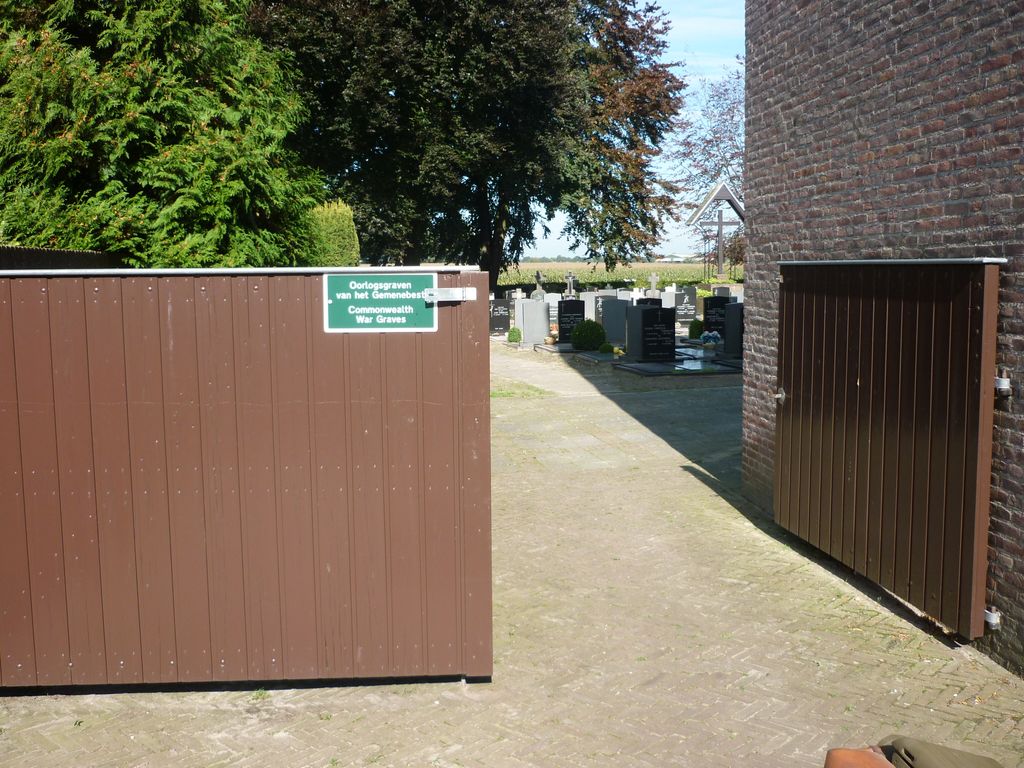
| Location | : | Ulicoten, Baarle-Nassau Municipality, Netherlands |
| Coordinate | : | 51.4580100, 4.8585400 |
frequently asked questions (FAQ):
-
Where is Ulicoten Roman Catholic Churchyard?
Ulicoten Roman Catholic Churchyard is located at Ulicoten, Baarle-Nassau Municipality ,Noord-Brabant ,Netherlands.
-
Ulicoten Roman Catholic Churchyard cemetery's updated grave count on graveviews.com?
0 memorials
-
Where are the coordinates of the Ulicoten Roman Catholic Churchyard?
Latitude: 51.4580100
Longitude: 4.8585400
Nearby Cemetories:
1. Meerle Churchyard
Hoogstraten, Arrondissement Turnhout, Belgium
Coordinate: 51.4741700, 4.8037100
2. Baarle-Nassau Roman Catholic Churchyard
Baarle-Nassau, Baarle-Nassau Municipality, Netherlands
Coordinate: 51.4437700, 4.9289200
3. Baarle-Hertog Communal Cemetery
Baarle-Hertog, Arrondissement Turnhout, Belgium
Coordinate: 51.4405432, 4.9324498
4. Zondereigen Cemetery
Baarle-Hertog, Arrondissement Turnhout, Belgium
Coordinate: 51.4084563, 4.8964239
5. Alphen Roman Catholic Cemetery
Alphen-Chaam Municipality, Netherlands
Coordinate: 51.4835500, 4.9527100
6. Minderhout Cemetery
Hoogstraten, Arrondissement Turnhout, Belgium
Coordinate: 51.4150700, 4.7611700
7. Hoogstraten Cemetery
Hoogstraten, Arrondissement Turnhout, Belgium
Coordinate: 51.4002500, 4.7678700
8. Sint-Katharinakerk
Hoogstraten, Arrondissement Turnhout, Belgium
Coordinate: 51.4008900, 4.7620700
9. Merksplas Communal Cemetery
Merksplas, Arrondissement Turnhout, Belgium
Coordinate: 51.3612800, 4.8635400
10. Gilze-en-rijen Gilze Roman Catholic Cemetery
Gilze, Gilze en Rijen Municipality, Netherlands
Coordinate: 51.5401500, 4.9430200
11. Weelde Sint-Michiels Churchyard
Ravels, Arrondissement Turnhout, Belgium
Coordinate: 51.4082600, 4.9942200
12. Ulvenhout Roman Catholic Cemetery
Ulvenhout, Breda Municipality, Netherlands
Coordinate: 51.5525900, 4.7961100
13. Breda De Bieberg Begraafplaats
Breda, Breda Municipality, Netherlands
Coordinate: 51.5576400, 4.7885300
14. Bavel Katholieke Begraafplaats
Bavel, Breda Municipality, Netherlands
Coordinate: 51.5659700, 4.8294800
15. Poppel Churchyard
Poppel, Arrondissement Turnhout, Belgium
Coordinate: 51.4459600, 5.0385700
16. Roman Catholic Cemetery Sint Bavo Parish
Zundert Municipality, Netherlands
Coordinate: 51.5142580, 4.7002220
17. Breda Begraafplaats Overakker
Breda, Breda Municipality, Netherlands
Coordinate: 51.5671900, 4.8036700
18. Breda Begraafplaats Vogelenzang
Breda, Breda Municipality, Netherlands
Coordinate: 51.5687100, 4.7912500
19. Zundert Protestant Churchyard
Zundert, Zundert Municipality, Netherlands
Coordinate: 51.4716600, 4.6644300
20. Begraafplaats RK Kerk Heilige Moeder Gods
Effen, Breda Municipality, Netherlands
Coordinate: 51.5541678, 4.7332827
21. Begraafplaats Nazareth
Turnhout, Arrondissement Turnhout, Belgium
Coordinate: 51.3378626, 4.9118161
22. Rijkevorsel Centrum Cemetery
Rijkevorsel, Arrondissement Turnhout, Belgium
Coordinate: 51.3490300, 4.7532800
23. Roman Catholic Cemetery Klein Zundert
Klein-Zundert, Zundert Municipality, Netherlands
Coordinate: 51.4813640, 4.6555256
24. Begraafplaats St Marcoen
Dorst, Oosterhout Municipality, Netherlands
Coordinate: 51.5906301, 4.8581754