
| Memorials | : | 6 |
| Location | : | Cedarville, Greene County, USA |
| Coordinate | : | 39.7355240, -83.7877370 |
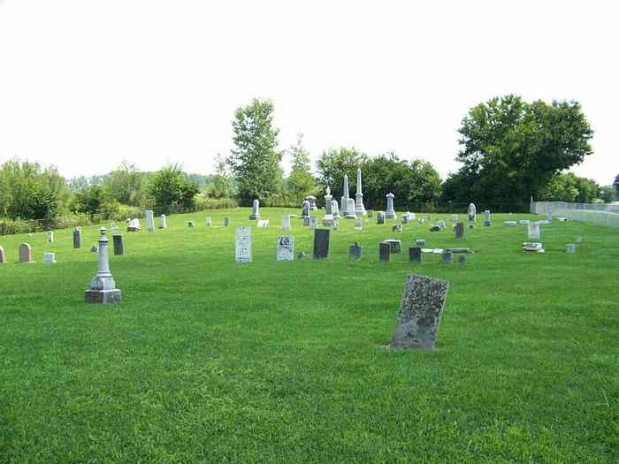
| Description | : | The cemetery is located on the north side of Turnbull Road about 0.7 miles east of its intersection with South Main Street (Ohio State Route 72). The cemetery is located in Cedarville Township, Greene County, Ohio, and is # 4261 (Baptist Cemetery) in “Ohio Cemeteries 1803-2003”, compiled by the Ohio Genealogical Society. The U.S. Geological Survey (USGS) Geographic Names Information System (GNIS) feature ID for the cemetery is 1963017 (Baptist Cemetery). |
frequently asked questions (FAQ):
-
Where is Baptist Cemetery?
Baptist Cemetery is located at Turnbull Road Cedarville, Greene County ,Ohio , 45314USA.
-
Baptist Cemetery cemetery's updated grave count on graveviews.com?
5 memorials
-
Where are the coordinates of the Baptist Cemetery?
Latitude: 39.7355240
Longitude: -83.7877370
Nearby Cemetories:
1. North Cemetery
Cedarville, Greene County, USA
Coordinate: 39.7546997, -83.8116989
2. Lawrence Cemetery
Ross Township, Greene County, USA
Coordinate: 39.7251770, -83.7405660
3. Massies Creek Cemetery
Cedarville, Greene County, USA
Coordinate: 39.7381287, -83.8398666
4. Caesarscreek Cemetery
New Jasper Township, Greene County, USA
Coordinate: 39.6805992, -83.7827988
5. Andrews Cemetery
Grape Grove, Greene County, USA
Coordinate: 39.7316720, -83.7099830
6. Bloxom Cemetery
Clark County, USA
Coordinate: 39.7841988, -83.7277985
7. Paullin Cemetery
Jamestown, Greene County, USA
Coordinate: 39.6985080, -83.7126310
8. Deardoff Cemetery
New Jasper, Greene County, USA
Coordinate: 39.6691720, -83.8115010
9. Greenwood Cemetery
Jamestown, Greene County, USA
Coordinate: 39.7056700, -83.7052060
10. Clifton Union Cemetery
Miami Township, Greene County, USA
Coordinate: 39.8012000, -83.8301000
11. Bethel Methodist Cemetery
Ross Township, Greene County, USA
Coordinate: 39.7262730, -83.6928210
12. Dean Cemetery
Jamestown, Greene County, USA
Coordinate: 39.6689493, -83.8315935
13. Love Light Gospel Chapel Cemetery
Selma, Clark County, USA
Coordinate: 39.7908110, -83.7166970
14. Cook Family Cemetery
Selma, Clark County, USA
Coordinate: 39.7911360, -83.7163580
15. Green Plain Cemetery #2
Selma, Clark County, USA
Coordinate: 39.7850860, -83.7055440
16. Farmers Cemetery
Jamestown, Greene County, USA
Coordinate: 39.6784030, -83.7143030
17. Stevenson Cemetery
Wilberforce, Greene County, USA
Coordinate: 39.7311096, -83.8925171
18. Grinnell Cemetery
Yellow Springs, Greene County, USA
Coordinate: 39.7818920, -83.8759030
19. House Family Cemetery
Xenia, Greene County, USA
Coordinate: 39.7217789, -83.8937454
20. Shaner Graveyard
Jamestown, Greene County, USA
Coordinate: 39.6496640, -83.7719940
21. McClellan Cemetery
Yellow Springs, Greene County, USA
Coordinate: 39.8161598, -83.8387951
22. Brock Cemetery (Defunct)
Gladstone, Greene County, USA
Coordinate: 39.7464970, -83.6702420
23. Sheley Cemetery
Jamestown, Greene County, USA
Coordinate: 39.6489560, -83.7490730
24. Sheeley Cemetery
Silvercreek Township, Greene County, USA
Coordinate: 39.6486015, -83.7491989