
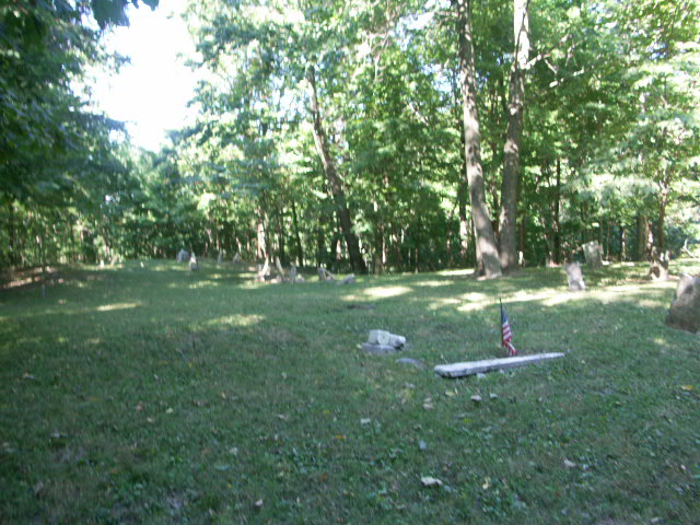
| Memorials | : | 4 |
| Location | : | Clay Township, Carroll County, USA |
| Coordinate | : | 40.4631996, -86.6245422 |
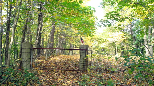
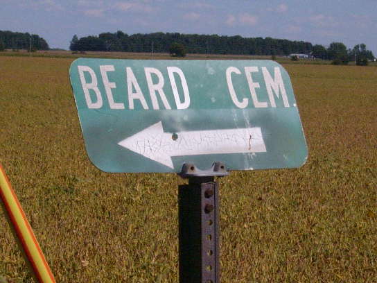
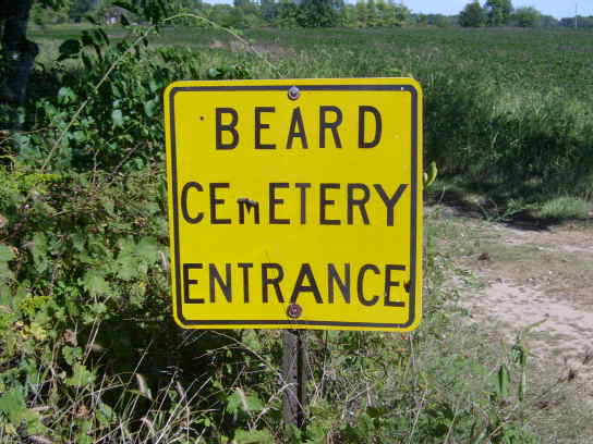
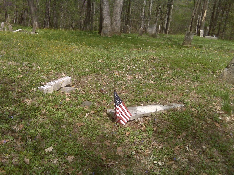
| Description | : | The cemetery is located in Clay Township (NE quadrant of the SW quadrant of the SW quadrant of Section 3 Township 23N Range 2W) about 900 feet north of W County Road 600 S about 0.3 miles west of its intersection with S County Road 500 W. Indiana Cemetery Locations, Volume 2, published by the Indiana Genealogical Society (01 April 2006), gives the primary cemetery name as Beard Cemetery. The cemetery is listed in the Cemetery and Burial Grounds Registry of the Indiana Department of Natural Resources (DNR) and in the State Historical Architectural and Archaeological Research Database... Read More |
frequently asked questions (FAQ):
-
Where is Beard Cemetery?
Beard Cemetery is located at W County Road 600 S Clay Township, Carroll County ,Indiana , 46065USA.
-
Beard Cemetery cemetery's updated grave count on graveviews.com?
4 memorials
-
Where are the coordinates of the Beard Cemetery?
Latitude: 40.4631996
Longitude: -86.6245422
Nearby Cemetories:
1. Carroll County Cemetery
Clay Township, Carroll County, USA
Coordinate: 40.4545010, -86.6384960
2. Hufford Cemetery #2
Clay Township, Carroll County, USA
Coordinate: 40.4608615, -86.6002739
3. Saint Johns Cemetery
Owasco, Carroll County, USA
Coordinate: 40.4538689, -86.6462173
4. Wagoner Cemetery
Owasco, Carroll County, USA
Coordinate: 40.4605713, -86.5979538
5. Hughes Cemetery
Clay Township, Carroll County, USA
Coordinate: 40.4604940, -86.5979180
6. Gray Family Cemetery
Delphi, Carroll County, USA
Coordinate: 40.4338720, -86.6258560
7. Morrison Cemetery
Clay Township, Carroll County, USA
Coordinate: 40.4644530, -86.5854270
8. Hufford Cemetery
Owasco, Carroll County, USA
Coordinate: 40.4338989, -86.6063995
9. Blickenstaff Cemetery
Edna Mills, Clinton County, USA
Coordinate: 40.4265000, -86.6472000
10. Enoch Cemetery
Prince William, Carroll County, USA
Coordinate: 40.4675460, -86.5708430
11. North Fork Cemetery
Pyrmont, Carroll County, USA
Coordinate: 40.4538383, -86.6773148
12. Cripe Cemetery
Rossville, Clinton County, USA
Coordinate: 40.4242325, -86.6464157
13. Riley Gunkle Cemetery
Rossville, Clinton County, USA
Coordinate: 40.4258000, -86.5975000
14. Ferguson Cemetery
Madison Township, Carroll County, USA
Coordinate: 40.5036040, -86.6440430
15. Pyrmont Cemetery
Pyrmont, Carroll County, USA
Coordinate: 40.4664917, -86.6829987
16. Kuhns Cemetery
Rossville, Clinton County, USA
Coordinate: 40.4173889, -86.6270905
17. Rossville Cemetery
Rossville, Clinton County, USA
Coordinate: 40.4230003, -86.5875015
18. Kite Cemetery
Madison Township, Carroll County, USA
Coordinate: 40.5116760, -86.6663720
19. Sugar Creek Cemetery
Madison Township, Carroll County, USA
Coordinate: 40.5097000, -86.6783000
20. Hoshaw Cemetery
Madison Township, Carroll County, USA
Coordinate: 40.5099040, -86.6783940
21. Mennonite Cemetery
Edna Mills, Clinton County, USA
Coordinate: 40.4049683, -86.6661301
22. Zion Citizens Cemetery
Bringhurst, Carroll County, USA
Coordinate: 40.5256004, -86.5932999
23. Old Order Cemetery
Rossville, Clinton County, USA
Coordinate: 40.3955956, -86.6198273
24. Bethel Church Cemetery
Pettit, Tippecanoe County, USA
Coordinate: 40.4220300, -86.7078700