
| Memorials | : | 0 |
| Location | : | Clay Township, Carroll County, USA |
| Coordinate | : | 40.4644530, -86.5854270 |
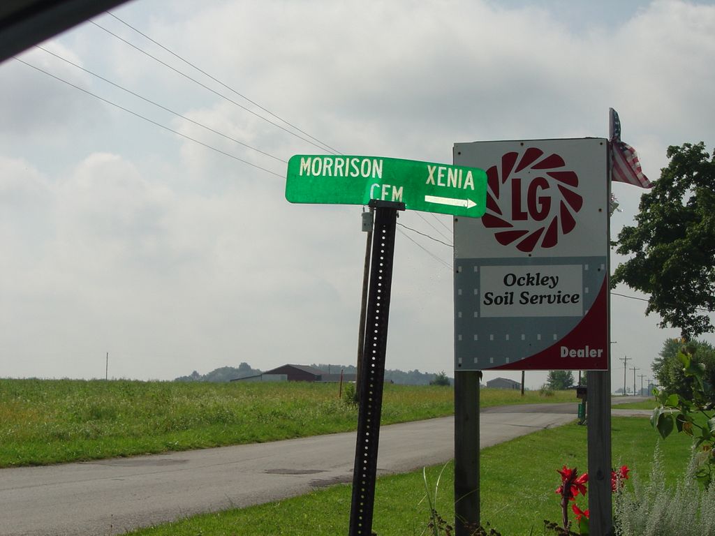
| Description | : | The cemetery is located in Clay Township (SW quadrant of the NE quadrant of the SE quadrant of Section 1 Township 23N Range 2W) about 900 feet west of S Prince William Road about 0.2 miles north of its intersection with W County Road 575 S. Indiana Cemetery Locations, Volume 2, published by the Indiana Genealogical Society (01 April 2006), gives the primary cemetery name as Morrison Cemetery with alternate names of Tingley Cemetery, Xenia Cemetery, and Zenia Cemetery. The cemetery is listed in the Cemetery and Burial Grounds Registry of the Indiana Department of Natural Resources (DNR)... Read More |
frequently asked questions (FAQ):
-
Where is Morrison Cemetery?
Morrison Cemetery is located at 5798 S Prince William Road Clay Township, Carroll County ,Indiana , 46065USA.
-
Morrison Cemetery cemetery's updated grave count on graveviews.com?
0 memorials
-
Where are the coordinates of the Morrison Cemetery?
Latitude: 40.4644530
Longitude: -86.5854270
Nearby Cemetories:
1. Wagoner Cemetery
Owasco, Carroll County, USA
Coordinate: 40.4605713, -86.5979538
2. Hughes Cemetery
Clay Township, Carroll County, USA
Coordinate: 40.4604940, -86.5979180
3. Enoch Cemetery
Prince William, Carroll County, USA
Coordinate: 40.4675460, -86.5708430
4. Hufford Cemetery #2
Clay Township, Carroll County, USA
Coordinate: 40.4608615, -86.6002739
5. Beard Cemetery
Clay Township, Carroll County, USA
Coordinate: 40.4631996, -86.6245422
6. Hufford Cemetery
Owasco, Carroll County, USA
Coordinate: 40.4338989, -86.6063995
7. Riley Gunkle Cemetery
Rossville, Clinton County, USA
Coordinate: 40.4258000, -86.5975000
8. Rossville Cemetery
Rossville, Clinton County, USA
Coordinate: 40.4230003, -86.5875015
9. Carroll County Cemetery
Clay Township, Carroll County, USA
Coordinate: 40.4545010, -86.6384960
10. Gray Family Cemetery
Delphi, Carroll County, USA
Coordinate: 40.4338720, -86.6258560
11. Saint Johns Cemetery
Owasco, Carroll County, USA
Coordinate: 40.4538689, -86.6462173
12. Cutler Ridge Congregation Church Cemetery
Flora, Carroll County, USA
Coordinate: 40.4960210, -86.5288860
13. Kuhns Cemetery
Rossville, Clinton County, USA
Coordinate: 40.4173889, -86.6270905
14. Ferguson Cemetery
Madison Township, Carroll County, USA
Coordinate: 40.5036040, -86.6440430
15. Blickenstaff Cemetery
Edna Mills, Clinton County, USA
Coordinate: 40.4265000, -86.6472000
16. Cripe Cemetery
Rossville, Clinton County, USA
Coordinate: 40.4242325, -86.6464157
17. Zion Citizens Cemetery
Bringhurst, Carroll County, USA
Coordinate: 40.5256004, -86.5932999
18. North Fork Cemetery
Pyrmont, Carroll County, USA
Coordinate: 40.4538383, -86.6773148
19. Old Order Cemetery
Rossville, Clinton County, USA
Coordinate: 40.3955956, -86.6198273
20. Pyrmont Cemetery
Pyrmont, Carroll County, USA
Coordinate: 40.4664917, -86.6829987
21. Latshaw Cemetery
Clinton County, USA
Coordinate: 40.3880119, -86.5781403
22. Hiner Cemetery
Rossville, Clinton County, USA
Coordinate: 40.3880800, -86.5715230
23. Kite Cemetery
Madison Township, Carroll County, USA
Coordinate: 40.5116760, -86.6663720
24. Mount Hope Cemetery
Rossville, Clinton County, USA
Coordinate: 40.3869019, -86.5522003