
| Memorials | : | 1 |
| Location | : | Blount, Kanawha County, USA |
| Coordinate | : | 38.3102250, -81.4264090 |
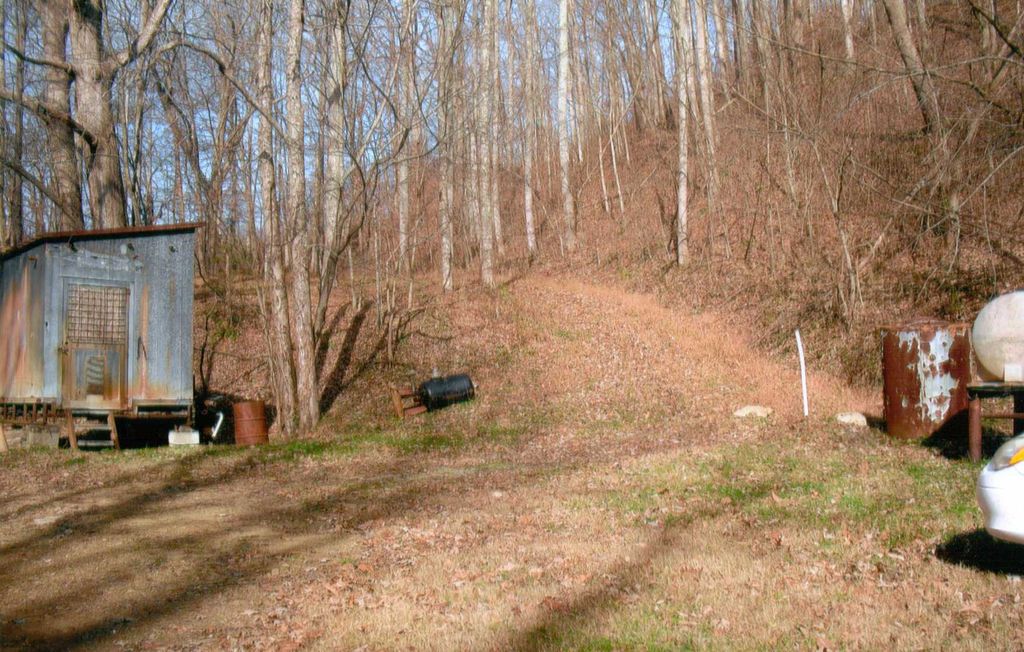
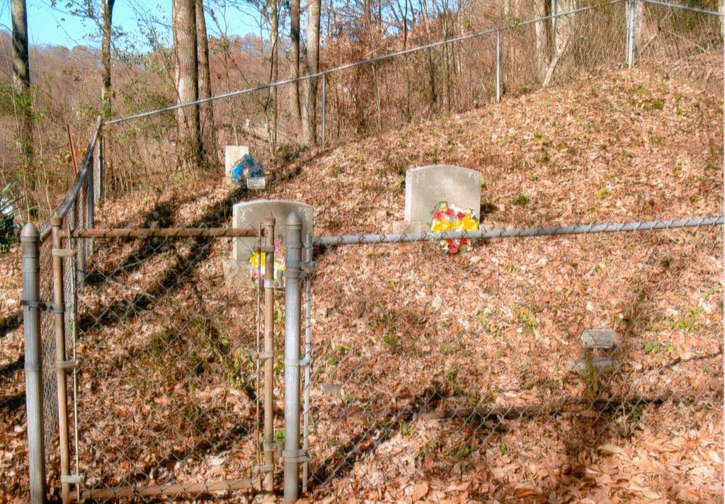
| Description | : | From Charleston drive I-64 E/I-77 S Beckley, exit 96/US-60 Midland Trail/Belle, stay in left lane, make a left at the Campbell's Creek Drive stop light, drive 10.3 miles up Campbell's Creek, make a left on Angel Meadow Drive, drive .1, turn left and drive approximately .2 miles and park in the wide space on the right side of the road. Walk up the pathway going up the hill, it's about a .2 mile walk, the Clay Cemetery is in a chain fence at the top of the hill. |
frequently asked questions (FAQ):
-
Where is Belcher-White-Clay Cemetery?
Belcher-White-Clay Cemetery is located at Blount, Kanawha County ,West Virginia ,USA.
-
Belcher-White-Clay Cemetery cemetery's updated grave count on graveviews.com?
1 memorials
-
Where are the coordinates of the Belcher-White-Clay Cemetery?
Latitude: 38.3102250
Longitude: -81.4264090
Nearby Cemetories:
1. Garten Cemetery
Blount, Kanawha County, USA
Coordinate: 38.3138000, -81.4294400
2. Landers-Elswick Cemetery
Cinco, Kanawha County, USA
Coordinate: 38.3311880, -81.4595910
3. Spruce Cemetery
Cinco, Kanawha County, USA
Coordinate: 38.3365120, -81.4684240
4. Stewart Family Cemetery
Coal Fork, Kanawha County, USA
Coordinate: 38.3069813, -81.4976488
5. Cline Cemetery
Charleston, Kanawha County, USA
Coordinate: 38.3452988, -81.5105972
6. Mount Lewis Cemetery
Cedar Grove, Kanawha County, USA
Coordinate: 38.2344017, -81.4124985
7. Ward Cemetery
Cedar Grove, Kanawha County, USA
Coordinate: 38.2338982, -81.4175034
8. Michael Pittman Cemetery
Charleston, Kanawha County, USA
Coordinate: 38.3472900, -81.5129110
9. Hooppole Hollow Cemetery
Charleston, Kanawha County, USA
Coordinate: 38.3596870, -81.5091290
10. Younger Hollow Cemetery
Coal Fork, Kanawha County, USA
Coordinate: 38.3191986, -81.5333023
11. Blount Cemetery
Coal Fork, Kanawha County, USA
Coordinate: 38.3078100, -81.5354040
12. McBride Family Cemetery
Blue Creek, Kanawha County, USA
Coordinate: 38.3400000, -81.3200000
13. Woodland Cemetery
Cedar Grove, Kanawha County, USA
Coordinate: 38.2182999, -81.4253006
14. Simmons Creek Community Cemetery
Belle, Kanawha County, USA
Coordinate: 38.2556200, -81.5214700
15. Virginia's Chapel Cemetery
Cedar Grove, Kanawha County, USA
Coordinate: 38.2176700, -81.4259900
16. Lucas Cemetery
Charleston, Kanawha County, USA
Coordinate: 38.3723300, -81.5197800
17. Old Taylor Farm Family Cemetery
Clendenin, Kanawha County, USA
Coordinate: 38.4013889, -81.3869444
18. Blakeley Cemetery
Blakeley, Kanawha County, USA
Coordinate: 38.2922770, -81.3050610
19. Coalburg Cemetery
Coalburg, Kanawha County, USA
Coordinate: 38.2122640, -81.4539250
20. Carnes-Taylor Family Cemetery
Clendenin, Kanawha County, USA
Coordinate: 38.4023540, -81.3682650
21. Nunley Cemetery
Charleston, Kanawha County, USA
Coordinate: 38.3301000, -81.5573000
22. Witcher Cemetery
Belle, Kanawha County, USA
Coordinate: 38.2282982, -81.5093994
23. Brown Cemetery
Charleston, Kanawha County, USA
Coordinate: 38.3636017, -81.5421982
24. Butler Cemetery
Charleston, Kanawha County, USA
Coordinate: 38.3557080, -81.5558370