
| Memorials | : | 0 |
| Location | : | Brixey, Ozark County, USA |
| Coordinate | : | 36.8008282, -92.3656150 |
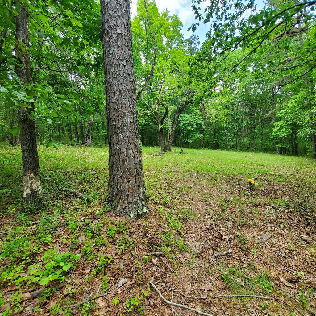
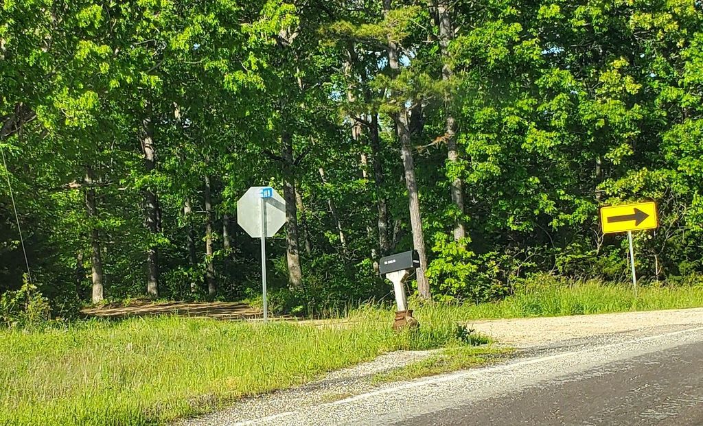
| Description | : | Located near Howard's Ridge just north of Brixey on US Hwy 95. The cemetery is located at the very end of county road 169, which dead ends at the cemetery. This is a very old cemetery located just a small distance from the location of the Bell school, which is just remnants of a foundation. There are several people buried here, but very few with printed markers. There are a lot of stone markers. To the right of the entry are at least two African American Civil War soldiers that were buried since burial was not allowed in the same... Read More |
frequently asked questions (FAQ):
-
Where is Bell Cemetery?
Bell Cemetery is located at Ozark County Road 169 Brixey, Ozark County ,Missouri , 65618USA.
-
Bell Cemetery cemetery's updated grave count on graveviews.com?
0 memorials
-
Where are the coordinates of the Bell Cemetery?
Latitude: 36.8008282
Longitude: -92.3656150
Nearby Cemetories:
1. Bell Cemetery
Douglas County, USA
Coordinate: 36.8004000, -92.3653000
2. Sam Riley Cemetery
Brixey, Ozark County, USA
Coordinate: 36.7750000, -92.3410000
3. Eaton Cemetery
Trail, Ozark County, USA
Coordinate: 36.7882996, -92.3135986
4. Little Family Cemetery
Brixey, Ozark County, USA
Coordinate: 36.7690000, -92.4054700
5. Blanche Cemetery
Blanche, Douglas County, USA
Coordinate: 36.8196400, -92.3042800
6. Scott Cemetery
Cross Roads, Ozark County, USA
Coordinate: 36.7731200, -92.4235700
7. Bushong Cemetery
Brixey, Ozark County, USA
Coordinate: 36.7585830, -92.4148610
8. Yates Cemetery
Ava, Douglas County, USA
Coordinate: 36.8408012, -92.4203033
9. Henderson Cemetery
Douglas County, USA
Coordinate: 36.8572006, -92.3364029
10. Gentryville Cemetery
Gentryville, Douglas County, USA
Coordinate: 36.8662643, -92.3596115
11. Trail Cemetery
Trail, Ozark County, USA
Coordinate: 36.7736015, -92.2782974
12. Sheppard Cemetery
Ozark County, USA
Coordinate: 36.7263985, -92.3852997
13. Saint Nicholes Catholic Cemetery
Douglas County, USA
Coordinate: 36.8368700, -92.2743900
14. Souder Cemetery
Souder, Ozark County, USA
Coordinate: 36.7870026, -92.4662781
15. Assumption Abbey Cemetery
Ava, Douglas County, USA
Coordinate: 36.8396900, -92.4674800
16. Hale Cemetery
Dora, Ozark County, USA
Coordinate: 36.7799988, -92.2536011
17. New Hope Cemetery
Ava, Douglas County, USA
Coordinate: 36.9002991, -92.3827972
18. Smith Chapel Cemetery
Zanoni, Ozark County, USA
Coordinate: 36.7000618, -92.3657150
19. Tedrick Cemetery
Buckhart, Douglas County, USA
Coordinate: 36.9016991, -92.3091965
20. Evansdale Cemetery
Evans, Douglas County, USA
Coordinate: 36.8948784, -92.4386520
21. Pleasant Home Cemetery
Drury, Douglas County, USA
Coordinate: 36.9087200, -92.3275800
22. Pleasant Mound Cemetery
Douglas County, USA
Coordinate: 36.8525009, -92.2367020
23. Sweeton Pond Cemetery
Dora, Ozark County, USA
Coordinate: 36.7896996, -92.2217026
24. Dora Cemetery
Ozark County, USA
Coordinate: 36.7782700, -92.2209800