| Memorials | : | 0 |
| Location | : | Brixey, Ozark County, USA |
| Coordinate | : | 36.7750000, -92.3410000 |
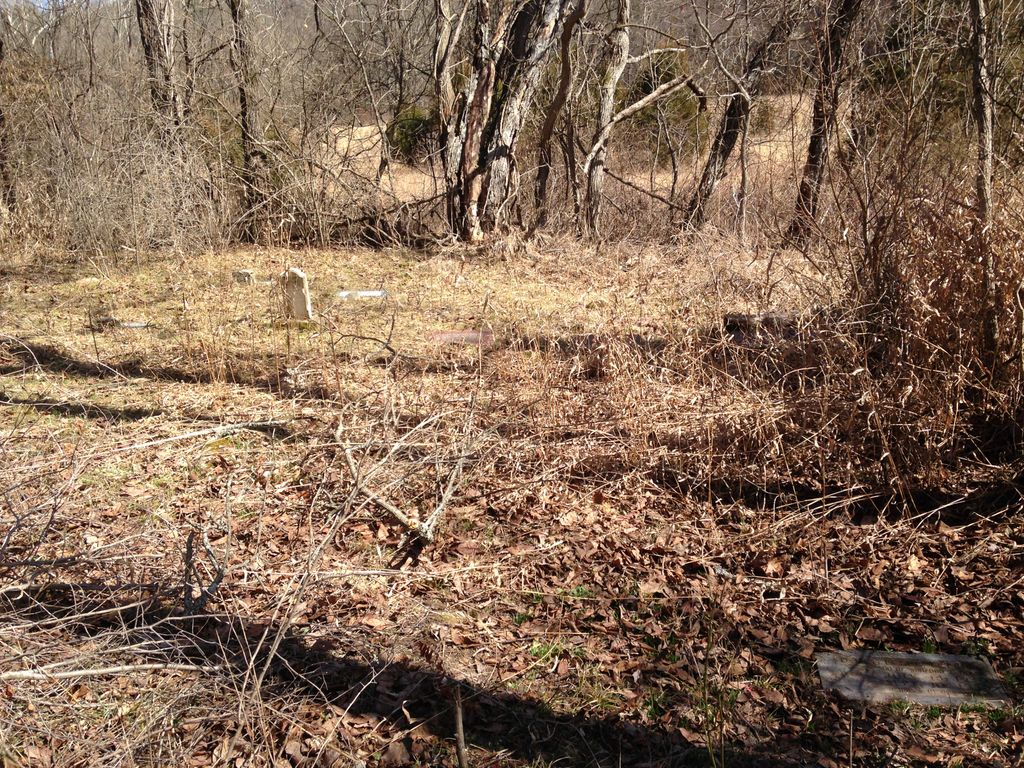
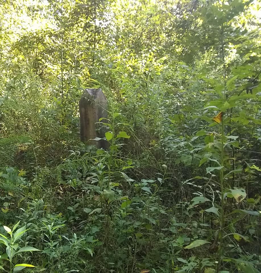
| Description | : | Also known as the Owens or Walden Cemetery. According to a man who was born in the 1930's and grew up in the area, the cemetery is located in what he had heard called, the "Old Mal Bell" field. Description from "A Survey of Ozark County Cemeteries," Published by the Ozark County Genealogical and Historical Society - Gainesville, MO, 1989 Sam Riley Cemetery (aka Owens) Township 24, Range 13, Section 12. Ask directions at the Brixie Store. The cemetery is located on the west side of Bryant Creek at the foot of a hill one-quarter mile above the mouth of... Read More |
frequently asked questions (FAQ):
-
Where is Sam Riley Cemetery?
Sam Riley Cemetery is located at Brixey, Ozark County ,Missouri ,USA.
-
Sam Riley Cemetery cemetery's updated grave count on graveviews.com?
0 memorials
-
Where are the coordinates of the Sam Riley Cemetery?
Latitude: 36.7750000
Longitude: -92.3410000
Nearby Cemetories:
1. Eaton Cemetery
Trail, Ozark County, USA
Coordinate: 36.7882996, -92.3135986
2. Bell Cemetery
Douglas County, USA
Coordinate: 36.8004000, -92.3653000
3. Bell Cemetery
Brixey, Ozark County, USA
Coordinate: 36.8008282, -92.3656150
4. Trail Cemetery
Trail, Ozark County, USA
Coordinate: 36.7736015, -92.2782974
5. Little Family Cemetery
Brixey, Ozark County, USA
Coordinate: 36.7690000, -92.4054700
6. Blanche Cemetery
Blanche, Douglas County, USA
Coordinate: 36.8196400, -92.3042800
7. Sheppard Cemetery
Ozark County, USA
Coordinate: 36.7263985, -92.3852997
8. Bushong Cemetery
Brixey, Ozark County, USA
Coordinate: 36.7585830, -92.4148610
9. Scott Cemetery
Cross Roads, Ozark County, USA
Coordinate: 36.7731200, -92.4235700
10. Hale Cemetery
Dora, Ozark County, USA
Coordinate: 36.7799988, -92.2536011
11. Smith Chapel Cemetery
Zanoni, Ozark County, USA
Coordinate: 36.7000618, -92.3657150
12. Saint Nicholes Catholic Cemetery
Douglas County, USA
Coordinate: 36.8368700, -92.2743900
13. Henderson Cemetery
Douglas County, USA
Coordinate: 36.8572006, -92.3364029
14. Sanders Cemetery
Sycamore, Ozark County, USA
Coordinate: 36.7064018, -92.2692032
15. Yates Cemetery
Ava, Douglas County, USA
Coordinate: 36.8408012, -92.4203033
16. Gentryville Cemetery
Gentryville, Douglas County, USA
Coordinate: 36.8662643, -92.3596115
17. Ball Cemetery
Dora, Ozark County, USA
Coordinate: 36.7325800, -92.2347700
18. Dora Cemetery
Ozark County, USA
Coordinate: 36.7782700, -92.2209800
19. Sweeton Pond Cemetery
Dora, Ozark County, USA
Coordinate: 36.7896996, -92.2217026
20. Parsons Cemetery
Ozark County, USA
Coordinate: 36.7433014, -92.2260971
21. Souder Cemetery
Souder, Ozark County, USA
Coordinate: 36.7870026, -92.4662781
22. Martin Cemetery
Sycamore, Ozark County, USA
Coordinate: 36.6889000, -92.2705994
23. County Line Cemetery
Ozark County, USA
Coordinate: 36.7825012, -92.2033005
24. Pleasant Mound Cemetery
Douglas County, USA
Coordinate: 36.8525009, -92.2367020


