
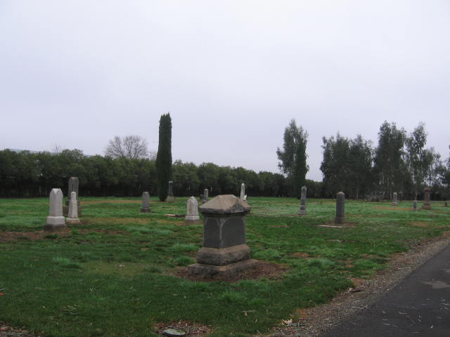
| Memorials | : | 158 |
| Location | : | Sacramento, Sacramento County, USA |
| Coordinate | : | 38.5153580, -121.3257446 |
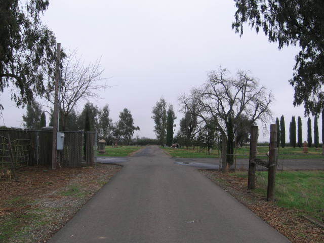
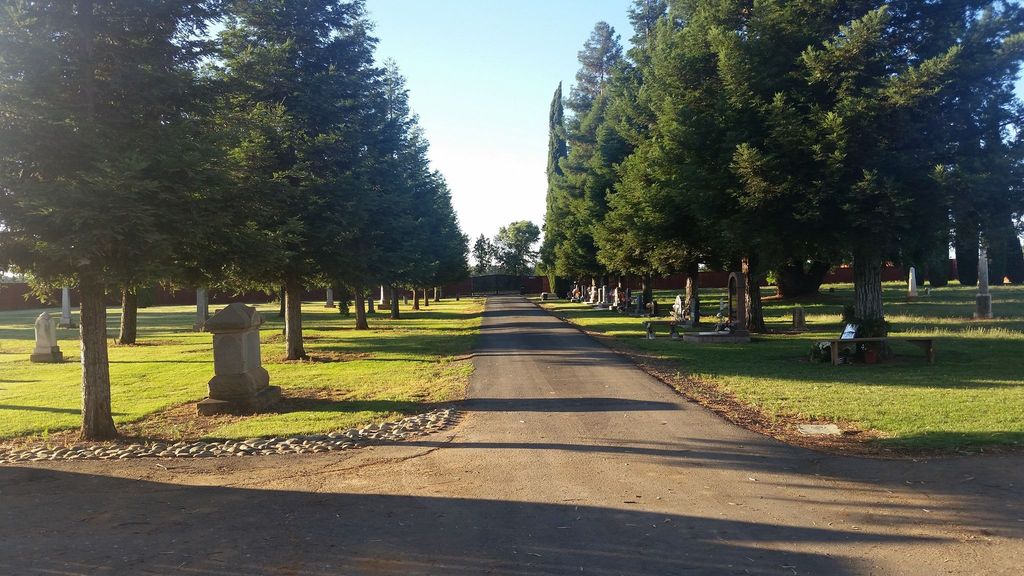
| Description | : | This cemetery is owned by: Blago Slavic Missionary Church aka Bethany Slavic Missionary Church 9880 Jackson Rd Sacramento, CA (916) 369-1452 To get to Bellview Cemetery, enter the front gates at Quiet Haven Cemetery. Drive into the parking lot and go forward until you get to a dead end. Turn left and go to another dead end. Turn right and keep going. There is a house on the left. Beyond the house, in front of you on this road, is the entrance to Bellview Cemetery. |
frequently asked questions (FAQ):
-
Where is Bellview Cemetery?
Bellview Cemetery is located at 9899 Elder Creek Road Sacramento, Sacramento County ,California , 95829USA.
-
Bellview Cemetery cemetery's updated grave count on graveviews.com?
158 memorials
-
Where are the coordinates of the Bellview Cemetery?
Latitude: 38.5153580
Longitude: -121.3257446

Nearby Cemetories:
1. Quiet Haven Memorial Park Cemetery
Sacramento, Sacramento County, USA
Coordinate: 38.5109711, -121.3245621
2. Camellia Memorial Lawn Cemetery
Sacramento, Sacramento County, USA
Coordinate: 38.5242004, -121.3097000
3. Sacramento Pet Cemetery
Sacramento, Sacramento County, USA
Coordinate: 38.4815870, -121.3402080
4. Greater Sacramento Muslim Cemetery
Sacramento, Sacramento County, USA
Coordinate: 38.5128300, -121.2616800
5. Chua Phuoc Thien Temple Columbarium
Sacramento, Sacramento County, USA
Coordinate: 38.4555400, -121.3345500
6. Tinh Xa Ngoc An Temple Columbarium
Sacramento, Sacramento County, USA
Coordinate: 38.5190200, -121.4159500
7. Elder Creek Cemetery
Florin, Sacramento County, USA
Coordinate: 38.5111008, -121.4169006
8. Sacramento County Cemetery
Sacramento County, USA
Coordinate: 38.5267900, -121.4233700
9. Sacramento County Veterans Memorial Cemetery
Sacramento, Sacramento County, USA
Coordinate: 38.5252838, -121.4239120
10. Sacramento County Hospital Cemetery
Sacramento, Sacramento County, USA
Coordinate: 38.5289300, -121.4239100
11. Russian Orthodox Cemetery
Sacramento, Sacramento County, USA
Coordinate: 38.5268800, -121.4244300
12. Saint Mary's Catholic Cemetery and Mausoleum
Sacramento, Sacramento County, USA
Coordinate: 38.5298900, -121.4261200
13. Union Cemetery
Sacramento County, USA
Coordinate: 38.4477997, -121.2619019
14. Pleasant Grove Cemetery
Elk Grove, Sacramento County, USA
Coordinate: 38.4302220, -121.3107670
15. Sacramento Memorial Lawn Cemetery
Sacramento, Sacramento County, USA
Coordinate: 38.5146484, -121.4380341
16. Home of Peace Cemetery
Sacramento, Sacramento County, USA
Coordinate: 38.5137558, -121.4382782
17. Saint Michaels Episcopal Church Columbarium
Carmichael, Sacramento County, USA
Coordinate: 38.6042800, -121.3547200
18. Kilgore Cemetery
Rancho Cordova, Sacramento County, USA
Coordinate: 38.5978012, -121.2683029
19. San Joaquin Cemetery
Sacramento, Sacramento County, USA
Coordinate: 38.4387665, -121.4034653
20. Kim Quang Temple Columbarium
Sacramento, Sacramento County, USA
Coordinate: 38.5996600, -121.3904700
21. Saint Marks Methodist Church Memorial Tree
Sacramento, Sacramento County, USA
Coordinate: 38.6076500, -121.3750680
22. Hilltop Cemetery
Elk Grove, Sacramento County, USA
Coordinate: 38.4156490, -121.3534950
23. Carmichael Presbyterian Church Columbarium
Carmichael, Sacramento County, USA
Coordinate: 38.6179500, -121.3324500
24. East Lawn Elk Grove Memorial Park
Elk Grove, Sacramento County, USA
Coordinate: 38.4282608, -121.3969955