
| Memorials | : | 0 |
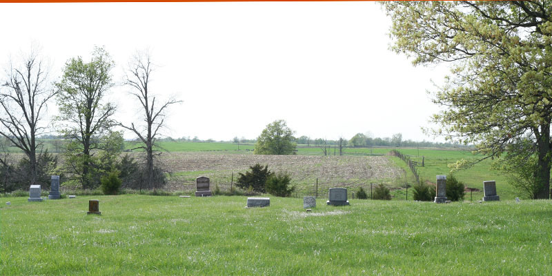
| Location | : | Benbow, Marion County, USA |
| Coordinate | : | 39.9148600, -91.7505900 |
| Description | : | From the junction of Mo 168 and Rte D in Philadelphia Missouri, take Rte D for just less than 7 miles north to a sharp corner turning west (about 2 1/2 miles past the junction with Rte M). Instead of taking the corner on the blacktop, continue north onto the gravel road (Marion County Rd 110) towards the New Providence Presbyterian Cemetery visible from the road. At the "T" in the gravel road, turn east (right) and continue past New Providence for about one half mile and turn right (south) on Marion County Rd 152. Benbow Cemetery is on the... Read More |
frequently asked questions (FAQ):
-
Where is Benbow Cemetery?
Benbow Cemetery is located at Benbow, Marion County ,Missouri ,USA.
-
Benbow Cemetery cemetery's updated grave count on graveviews.com?
0 memorials
-
Where are the coordinates of the Benbow Cemetery?
Latitude: 39.9148600
Longitude: -91.7505900
Nearby Cemetories:
1. New Providence Presbyterian Cemetery
Benbow, Marion County, USA
Coordinate: 39.9193400, -91.7586900
2. Shumate Cemetery
Naomi, Marion County, USA
Coordinate: 39.9317200, -91.7151400
3. Nelsonville Baptist Church Cemetery
Nelsonville, Marion County, USA
Coordinate: 39.9283900, -91.7960500
4. Peak Cemetery
Naomi, Marion County, USA
Coordinate: 39.9427300, -91.7096700
5. Mount Sinai Cemetery
Naomi, Marion County, USA
Coordinate: 39.9436300, -91.7074800
6. Emerson Cemetery
Emerson, Marion County, USA
Coordinate: 39.8906600, -91.6968100
7. Bethany Baptist Church Cemetery
Philadelphia, Marion County, USA
Coordinate: 39.8898100, -91.8292100
8. Waggener Cemetery
Lewis County, USA
Coordinate: 39.9806713, -91.7252778
9. Philadelphia Cemetery
Philadelphia, Marion County, USA
Coordinate: 39.8407900, -91.7428000
10. Humphrey Cemetery
Emerson, Marion County, USA
Coordinate: 39.9466610, -91.6613820
11. Shackleford Cemetery
Lewis County, USA
Coordinate: 39.9867200, -91.7158000
12. Banks Cemetery
Marion County, USA
Coordinate: 39.8800011, -91.6552963
13. Mount Olivet Cemetery
Ewing, Lewis County, USA
Coordinate: 39.9914300, -91.7871100
14. Asbury Chapel Cemetery
Steffenville, Lewis County, USA
Coordinate: 39.9490900, -91.8518300
15. Coleman Cemetery
Marion County, USA
Coordinate: 39.8306007, -91.7367020
16. Pleasant View Methodist Cemetery
Sigsbee, Shelby County, USA
Coordinate: 39.8903890, -91.8580010
17. Methodist Cemetery
Shelby County, USA
Coordinate: 39.8903300, -91.8581600
18. Mount Pleasant Cemetery
Steffenville, Lewis County, USA
Coordinate: 39.9524400, -91.8549500
19. Bragg Cemetery
Sigsbee, Shelby County, USA
Coordinate: 39.8976830, -91.8659750
20. Ragar Cemetery
Marion County, USA
Coordinate: 39.8500009, -91.8327618
21. Durham Cemetery
Durham, Lewis County, USA
Coordinate: 39.9802300, -91.6670200
22. McPike Cemetery
Marion County, USA
Coordinate: 39.8833008, -91.6380997
23. Hester Cemetery
Hester, Marion County, USA
Coordinate: 39.9108778, -91.6268255
24. Concord Cemetery
Sigsbee, Shelby County, USA
Coordinate: 39.9006800, -91.8735600