| Memorials | : | 25 |
| Location | : | Santa Rosa, Sonoma County, USA |
| Coordinate | : | 38.4161987, -122.6619034 |
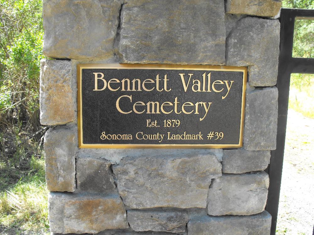
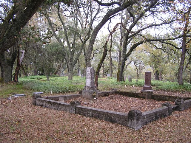
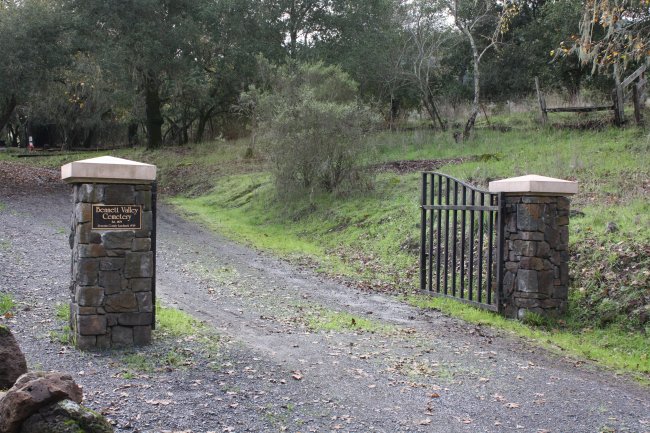
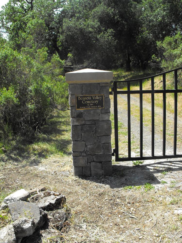
| Description | : | Highway 101 north. Highway 12 east to Farmer's lane. Turn right, then left onto Bennett Valley Road. At Yulupa intersection go right to continue on B.V. Road. Take very next right going slightly up 50 yds. Gravel road on left is cemetery entrance. The Bennett Valley Cemetery is located along the west side of Bennett Valley Road, about an eighth of a mile south of its junction with Yulupa Ave. The Daniel Galvin Community Park(City of Santa Rosa) is across the road from the cemetery(which is about 150+ feet outside the city limit of Santa Rosa). |
frequently asked questions (FAQ):
-
Where is Bennett Valley Cemetery?
Bennett Valley Cemetery is located at Bennett Valley Road Santa Rosa, Sonoma County ,California ,USA.
-
Bennett Valley Cemetery cemetery's updated grave count on graveviews.com?
24 memorials
-
Where are the coordinates of the Bennett Valley Cemetery?
Latitude: 38.4161987
Longitude: -122.6619034
Nearby Cemetories:
1. Calvary Catholic Cemetery
Santa Rosa, Sonoma County, USA
Coordinate: 38.4314003, -122.6847000
2. Chapel of the Chimes Cemetery and Mausoleum
Santa Rosa, Sonoma County, USA
Coordinate: 38.4141998, -122.7137985
3. Luther Burbank Memorial Home and Gardens Cemetery
Santa Rosa, Sonoma County, USA
Coordinate: 38.4355810, -122.7118050
4. County of Sonoma Cemetery
Santa Rosa, Sonoma County, USA
Coordinate: 38.4552780, -122.7027780
5. Santa Rosa Rural Cemetery
Santa Rosa, Sonoma County, USA
Coordinate: 38.4557991, -122.7039032
6. Santa Rosa Odd Fellows Cemetery
Santa Rosa, Sonoma County, USA
Coordinate: 38.4573690, -122.7066530
7. Santa Rosa Memorial Park
Santa Rosa, Sonoma County, USA
Coordinate: 38.4597015, -122.7071991
8. Beth Ami Cemetery
Santa Rosa, Sonoma County, USA
Coordinate: 38.4590920, -122.7086070
9. Shomrei Torah Cemetery
Santa Rosa, Sonoma County, USA
Coordinate: 38.4593760, -122.7086480
10. Old County Cemetery
Santa Rosa, Sonoma County, USA
Coordinate: 38.4669991, -122.7083969
11. Pythian Home Cemetery
Kenwood, Sonoma County, USA
Coordinate: 38.4443016, -122.5812988
12. Catron Cemetery
Santa Rosa, Sonoma County, USA
Coordinate: 38.4796982, -122.7083969
13. Saint Patricks Memorial Garden
Kenwood, Sonoma County, USA
Coordinate: 38.4189987, -122.5503235
14. Thompson Family Cemetery
Glen Ellen, Sonoma County, USA
Coordinate: 38.3644240, -122.5621210
15. Macedonia Methodist Episcopal Church Cemetery
Sebastopol, Sonoma County, USA
Coordinate: 38.3594860, -122.7727270
16. Jack London State Historic Park Cemetery
Glen Ellen, Sonoma County, USA
Coordinate: 38.3538000, -122.5367000
17. Fulton Cemetery
Fulton, Sonoma County, USA
Coordinate: 38.4888000, -122.7786026
18. Steele Family Cemetery
Santa Rosa, Sonoma County, USA
Coordinate: 38.4523730, -122.8065610
19. Sonoma State Home Cemetery
Eldridge, Sonoma County, USA
Coordinate: 38.3412190, -122.5427810
20. Faught Cemetery
Santa Rosa, Sonoma County, USA
Coordinate: 38.5186005, -122.7574005
21. Pride Mountain Vineyard Burial
Santa Rosa, Sonoma County, USA
Coordinate: 38.5257300, -122.5662470
22. Sharp Creek Cemetery
Santa Rosa, Sonoma County, USA
Coordinate: 38.5505981, -122.6713028
23. Canfield Cemetery
Sebastopol, Sonoma County, USA
Coordinate: 38.3512430, -122.8147040
24. Sebastopol Memorial Lawn Cemetery
Sebastopol, Sonoma County, USA
Coordinate: 38.3981018, -122.8366013

