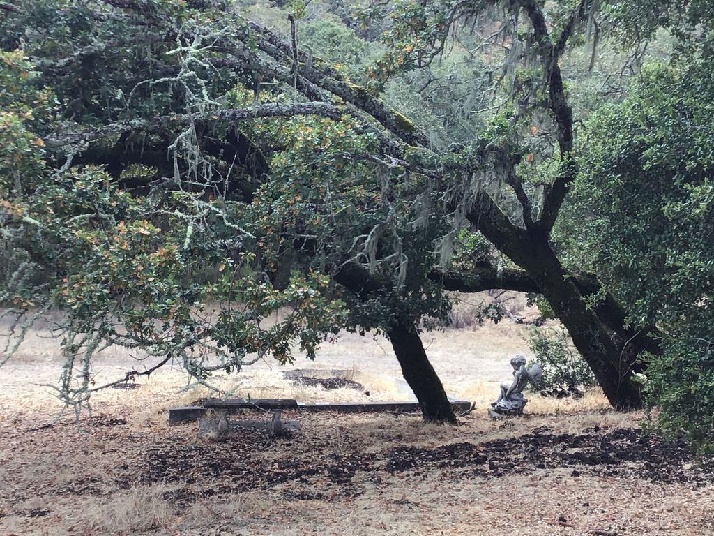
| Memorials | : | 0 |
| Location | : | Eldridge, Sonoma County, USA |
| Coordinate | : | 38.3412190, -122.5427810 |
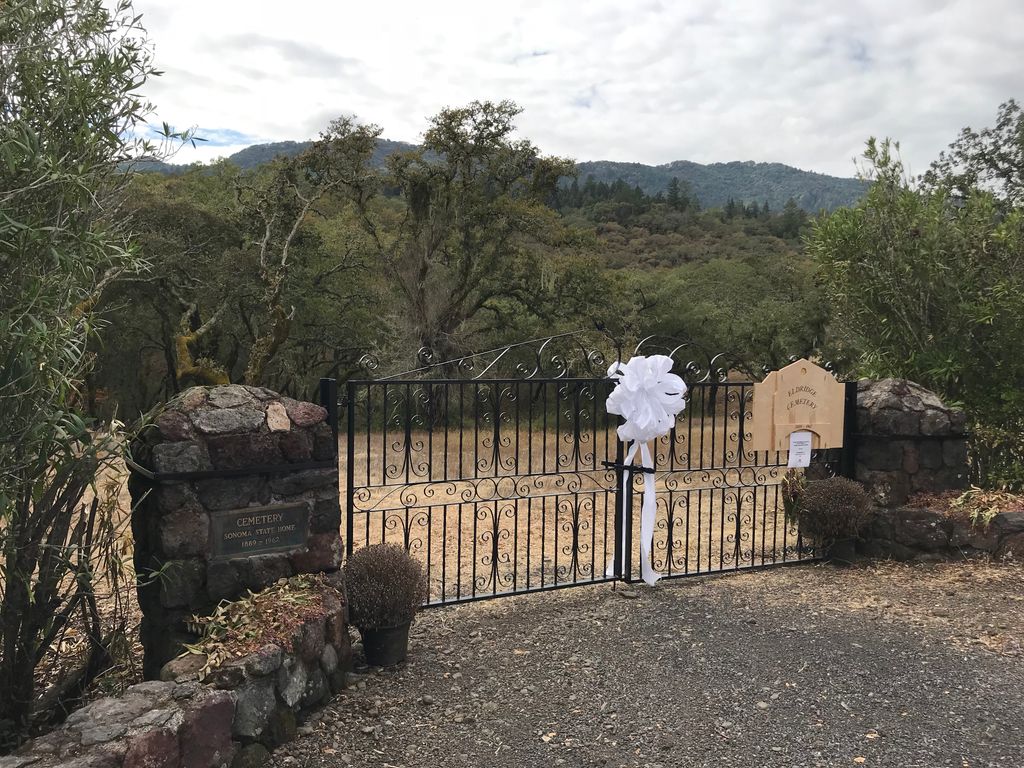
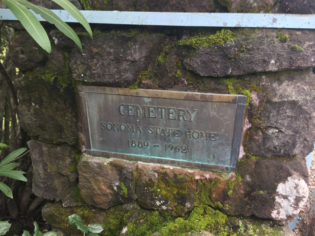
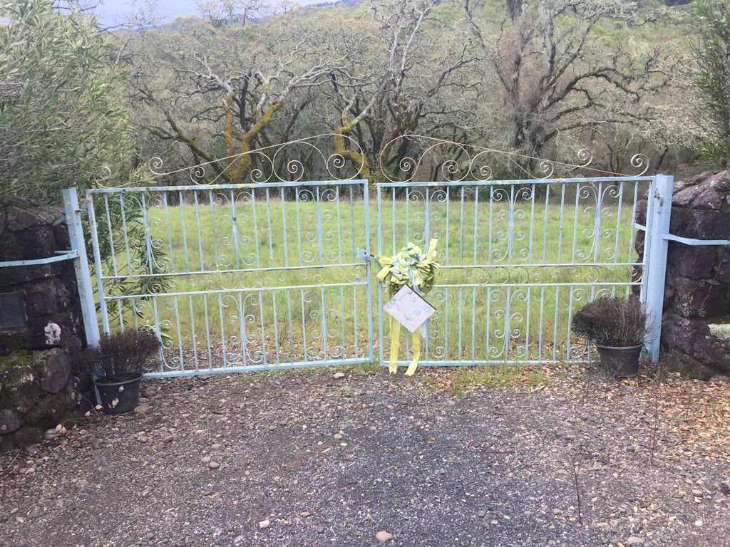
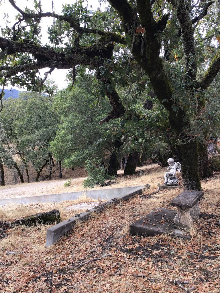
| Description | : | There are no headstones in this cemetery. Located just south of Glen Ellen, California. Originally called The California Home for the Care and Training of Feebleminded Children. Since 1988, named The Sonoma Developmental Center. 1403 inmate bodies were buried and 2 employees. Burials began on May 3, 1892 and the last burial was on December 9, 1939. Beginning on February 12, 1940 thru January 16, 1960, 500 bodies were cremated and placed in a vault. In 1964, all headstones were removed to protect the privacy of the families. Records of the burials are retained by the state and are not... Read More |
frequently asked questions (FAQ):
-
Where is Sonoma State Home Cemetery?
Sonoma State Home Cemetery is located at Orchard Road Eldridge, Sonoma County ,California ,USA.
-
Sonoma State Home Cemetery cemetery's updated grave count on graveviews.com?
0 memorials
-
Where are the coordinates of the Sonoma State Home Cemetery?
Latitude: 38.3412190
Longitude: -122.5427810
Nearby Cemetories:
1. Jack London State Historic Park Cemetery
Glen Ellen, Sonoma County, USA
Coordinate: 38.3538000, -122.5367000
2. Thompson Family Cemetery
Glen Ellen, Sonoma County, USA
Coordinate: 38.3644240, -122.5621210
3. Faith Lutheran Church Memorial Garden
Sonoma, Sonoma County, USA
Coordinate: 38.2932380, -122.4880690
4. Saint Patricks Memorial Garden
Kenwood, Sonoma County, USA
Coordinate: 38.4189987, -122.5503235
5. Sonoma Veterans Cemetery
Sonoma, Sonoma County, USA
Coordinate: 38.2992790, -122.4566390
6. Mountain Cemetery
Sonoma, Sonoma County, USA
Coordinate: 38.3008003, -122.4535980
7. Mission San Francisco Solano Cemetery
Sonoma, Sonoma County, USA
Coordinate: 38.2937164, -122.4561844
8. Trinity Episcopal Church Columbarium
Sonoma, Sonoma County, USA
Coordinate: 38.2930390, -122.4521650
9. Saint Francis Solano Cemetery
Sonoma, Sonoma County, USA
Coordinate: 38.2915993, -122.4459991
10. General Vallejo Ranch Cemetery
Sonoma, Sonoma County, USA
Coordinate: 38.2554500, -122.5845200
11. Valley Cemetery
Sonoma, Sonoma County, USA
Coordinate: 38.2832985, -122.4496994
12. Pythian Home Cemetery
Kenwood, Sonoma County, USA
Coordinate: 38.4443016, -122.5812988
13. Napa Redwoods Cemetery
Napa County, USA
Coordinate: 38.3689003, -122.4094009
14. Partrick Cemetery
Napa, Napa County, USA
Coordinate: 38.3347200, -122.4027800
15. Brothers of the Christian Schools Cemetery
Napa, Napa County, USA
Coordinate: 38.3352490, -122.3913450
16. Bennett Valley Cemetery
Santa Rosa, Sonoma County, USA
Coordinate: 38.4161987, -122.6619034
17. Cypress Hill Memorial Park
Petaluma, Sonoma County, USA
Coordinate: 38.2472000, -122.6505966
18. My Pets Cemetery
Petaluma, Sonoma County, USA
Coordinate: 38.2472000, -122.6506000
19. B'nai Israel Cemetery
Petaluma, Sonoma County, USA
Coordinate: 38.2454700, -122.6490000
20. Calvary Catholic Cemetery
Petaluma, Sonoma County, USA
Coordinate: 38.2449000, -122.6493400
21. Oak Hill Cemetery
Petaluma, Sonoma County, USA
Coordinate: 38.2365130, -122.6509010
22. Liberty Cemetery
Petaluma, Sonoma County, USA
Coordinate: 38.2781990, -122.7055500
23. Calvary Catholic Cemetery
Santa Rosa, Sonoma County, USA
Coordinate: 38.4314003, -122.6847000
24. Veterans Memorial Grove Cemetery
Yountville, Napa County, USA
Coordinate: 38.3913340, -122.3711930

